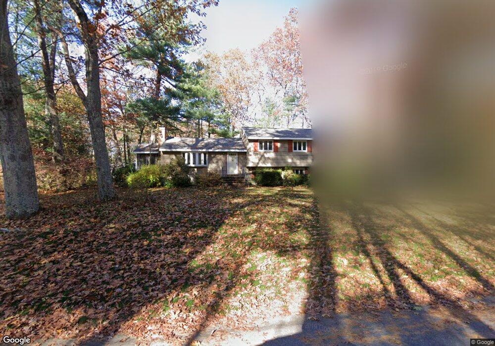
28 Bentbrook Rd Sudbury, MA 01776
Estimated Value: $797,402 - $969,000
4
Beds
3
Baths
1,380
Sq Ft
$634/Sq Ft
Est. Value
About This Home
This home is located at 28 Bentbrook Rd, Sudbury, MA 01776 and is currently estimated at $874,851, approximately $633 per square foot. 28 Bentbrook Rd is a home located in Middlesex County with nearby schools including Peter Noyes Elementary School, Ephraim Curtis Middle School, and Lincoln-Sudbury Regional High School.
Ownership History
Date
Name
Owned For
Owner Type
Purchase Details
Closed on
Oct 18, 2021
Sold by
Stubbs George D and Stubbs Nancy J
Bought by
Stubbs Ret
Current Estimated Value
Purchase Details
Closed on
Oct 18, 1995
Sold by
Perkins David H and Perkins Suzette L
Bought by
Stubbs George D and Stubbs Nancy J
Home Financials for this Owner
Home Financials are based on the most recent Mortgage that was taken out on this home.
Original Mortgage
$208,000
Interest Rate
7.6%
Mortgage Type
Purchase Money Mortgage
Purchase Details
Closed on
Sep 1, 1987
Sold by
Friedman Paul L
Bought by
Perkins David H
Create a Home Valuation Report for This Property
The Home Valuation Report is an in-depth analysis detailing your home's value as well as a comparison with similar homes in the area
Home Values in the Area
Average Home Value in this Area
Purchase History
| Date | Buyer | Sale Price | Title Company |
|---|---|---|---|
| Stubbs Ret | -- | None Available | |
| Stubbs George D | $260,000 | -- | |
| Perkins David H | $233,000 | -- |
Source: Public Records
Mortgage History
| Date | Status | Borrower | Loan Amount |
|---|---|---|---|
| Previous Owner | Perkins David H | $218,000 | |
| Previous Owner | Perkins David H | $211,000 | |
| Previous Owner | Perkins David H | $208,000 |
Source: Public Records
Tax History Compared to Growth
Tax History
| Year | Tax Paid | Tax Assessment Tax Assessment Total Assessment is a certain percentage of the fair market value that is determined by local assessors to be the total taxable value of land and additions on the property. | Land | Improvement |
|---|---|---|---|---|
| 2025 | $11,046 | $754,500 | $408,400 | $346,100 |
| 2024 | $10,683 | $731,200 | $396,500 | $334,700 |
| 2023 | $10,634 | $674,300 | $367,100 | $307,200 |
| 2022 | $9,924 | $549,800 | $336,900 | $212,900 |
| 2021 | $9,569 | $508,200 | $336,900 | $171,300 |
| 2020 | $9,376 | $508,200 | $336,900 | $171,300 |
| 2019 | $9,102 | $508,200 | $336,900 | $171,300 |
| 2018 | $9,026 | $503,400 | $359,200 | $144,200 |
| 2017 | $8,450 | $476,300 | $341,700 | $134,600 |
| 2016 | $8,218 | $461,700 | $328,700 | $133,000 |
| 2015 | $7,735 | $439,500 | $316,100 | $123,400 |
| 2014 | $7,699 | $427,000 | $306,800 | $120,200 |
Source: Public Records
Map
Nearby Homes
- 21 Summer St
- 14 Tanbark Rd
- 7 Saddle Ridge Rd
- 143 Peakham Rd
- 123 Dutton Rd
- 30 Rolling Ln
- 12 Hickory Rd
- 47 Fairbank Rd
- 54 Stone Rd
- 0 Robbins Rd
- 0 Boston Post Rd
- 4 Elderberry Cir
- 25 Bridle Path
- 36 Old Forge Ln
- 89 Bridle Path
- 12 Camperdown Ln
- 788 Main St
- 786 Main St
- 10 Shoreline Dr Unit 12
- 8 Shoreline Dr Unit 11