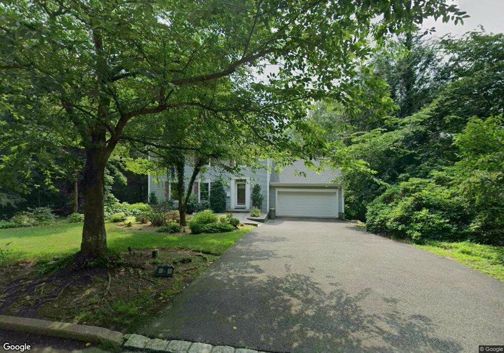
28 Beveridge Rd Mahwah, NJ 07430
Estimated Value: $769,256 - $939,000
--
Bed
--
Bath
1,901
Sq Ft
$457/Sq Ft
Est. Value
About This Home
This home is located at 28 Beveridge Rd, Mahwah, NJ 07430 and is currently estimated at $868,064, approximately $456 per square foot. 28 Beveridge Rd is a home located in Bergen County with nearby schools including Mahwah High School.
Ownership History
Date
Name
Owned For
Owner Type
Purchase Details
Closed on
Aug 15, 2001
Sold by
Brady William N
Bought by
Gillen Gregory and Gillen Christine
Current Estimated Value
Home Financials for this Owner
Home Financials are based on the most recent Mortgage that was taken out on this home.
Original Mortgage
$412,000
Outstanding Balance
$159,553
Interest Rate
7.05%
Estimated Equity
$708,511
Purchase Details
Closed on
Mar 9, 1998
Sold by
Brady William N and Brady Susan G
Bought by
Brady William N and Brady Susan G
Purchase Details
Closed on
Sep 4, 1996
Sold by
Emc Mortgage Corp
Bought by
Jjv Realty Assoc Llc
Create a Home Valuation Report for This Property
The Home Valuation Report is an in-depth analysis detailing your home's value as well as a comparison with similar homes in the area
Home Values in the Area
Average Home Value in this Area
Purchase History
| Date | Buyer | Sale Price | Title Company |
|---|---|---|---|
| Gillen Gregory | $515,000 | -- | |
| Brady William N | -- | -- | |
| Jjv Realty Assoc Llc | $165,000 | -- |
Source: Public Records
Mortgage History
| Date | Status | Borrower | Loan Amount |
|---|---|---|---|
| Open | Gillen Gregory | $412,000 |
Source: Public Records
Tax History Compared to Growth
Tax History
| Year | Tax Paid | Tax Assessment Tax Assessment Total Assessment is a certain percentage of the fair market value that is determined by local assessors to be the total taxable value of land and additions on the property. | Land | Improvement |
|---|---|---|---|---|
| 2025 | $9,858 | $477,600 | $305,900 | $171,700 |
| 2024 | $9,729 | $477,600 | $305,900 | $171,700 |
| 2023 | $9,418 | $477,600 | $305,900 | $171,700 |
| 2022 | $9,418 | $477,600 | $305,900 | $171,700 |
| 2021 | $9,318 | $477,600 | $305,900 | $171,700 |
| 2020 | $9,094 | $477,600 | $305,900 | $171,700 |
| 2019 | $8,793 | $477,600 | $305,900 | $171,700 |
| 2018 | $8,668 | $477,600 | $305,900 | $171,700 |
| 2017 | $8,530 | $477,600 | $305,900 | $171,700 |
| 2016 | $8,344 | $477,600 | $305,900 | $171,700 |
| 2015 | $8,229 | $477,600 | $305,900 | $171,700 |
| 2014 | $8,091 | $477,600 | $305,900 | $171,700 |
Source: Public Records
Map
Nearby Homes
- 12 Alcott Rd
- 51 Black Oak Ln
- 211 Airmount Rd
- 99 Armour Rd
- 37 Hillside Ave
- 103 E Mahwah Rd
- 2 Reid Ct
- 13 Winter Terrace
- 2372 Phillip Ct
- 12 Sagamore Ave
- 2120 Gunston Ct
- 20 Lancaster Dr
- 139 Kilmer Rd
- 2170 Kent Ct
- 163 Rutherford Rd
- 2054 Charles Ct
- 199 Parkside Dr
- 235 Parkside Dr Unit 235
- 16 Gardner St
- 14 Burlington Ave