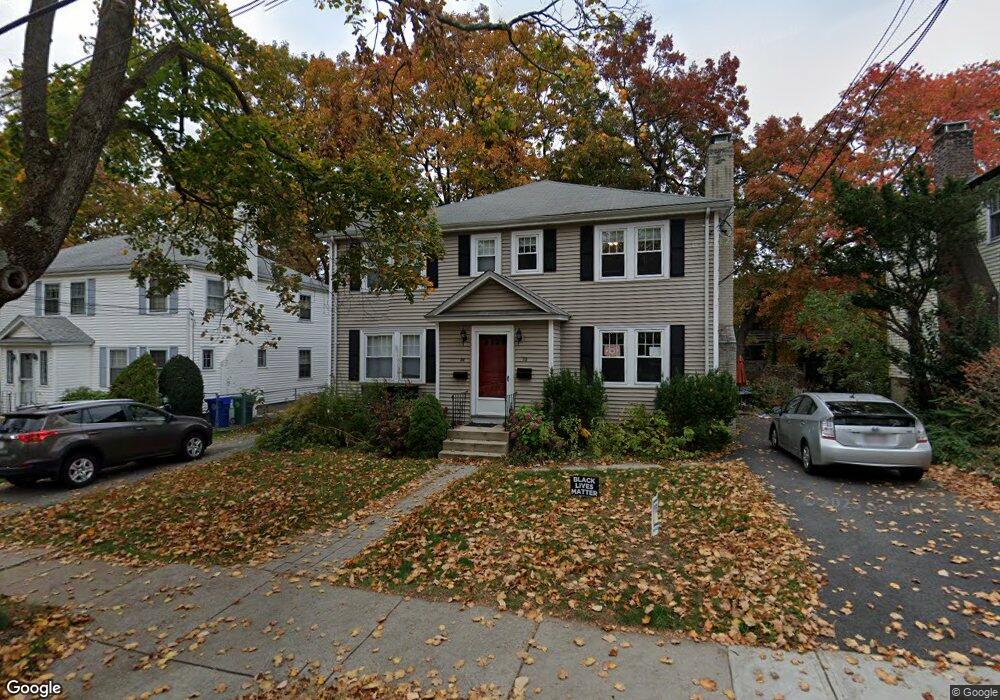
28 Blake St Newtonville, MA 02460
Newtonville NeighborhoodEstimated Value: $859,983 - $976,000
3
Beds
2
Baths
1,238
Sq Ft
$752/Sq Ft
Est. Value
About This Home
This home is located at 28 Blake St, Newtonville, MA 02460 and is currently estimated at $931,246, approximately $752 per square foot. 28 Blake St is a home located in Middlesex County with nearby schools including Cabot Elementary School, F.A. Day Middle School, and Newton North High School.
Ownership History
Date
Name
Owned For
Owner Type
Purchase Details
Closed on
Jul 29, 2025
Sold by
Silberman Ellen J and Baron Brian A
Bought by
Ellen J Silberman Ret and Silberman
Current Estimated Value
Create a Home Valuation Report for This Property
The Home Valuation Report is an in-depth analysis detailing your home's value as well as a comparison with similar homes in the area
Home Values in the Area
Average Home Value in this Area
Purchase History
| Date | Buyer | Sale Price | Title Company |
|---|---|---|---|
| Ellen J Silberman Ret | -- | -- | |
| Ellen J Silberman Ret | -- | -- |
Source: Public Records
Tax History Compared to Growth
Tax History
| Year | Tax Paid | Tax Assessment Tax Assessment Total Assessment is a certain percentage of the fair market value that is determined by local assessors to be the total taxable value of land and additions on the property. | Land | Improvement |
|---|---|---|---|---|
| 2025 | $7,351 | $750,100 | $0 | $750,100 |
| 2024 | $6,874 | $704,300 | $0 | $704,300 |
| 2023 | $6,762 | $664,200 | $0 | $664,200 |
| 2022 | $6,655 | $632,600 | $0 | $632,600 |
| 2021 | $6,422 | $596,800 | $0 | $596,800 |
| 2020 | $6,231 | $596,800 | $0 | $596,800 |
| 2019 | $6,055 | $579,400 | $0 | $579,400 |
| 2018 | $5,700 | $526,800 | $0 | $526,800 |
| 2017 | $5,527 | $497,000 | $0 | $497,000 |
| 2016 | $4,831 | $424,500 | $0 | $424,500 |
| 2015 | $4,694 | $404,300 | $0 | $404,300 |
Source: Public Records
Map
Nearby Homes
- 44 Blake St Unit 2
- 127-129 Withington Rd Unit 1
- 95 Blake St
- 110 Harvard St Unit A
- 300 Cabot St
- 10 Washington Park
- 10 Washington Park Unit 2
- 10 Washington Park Unit 1
- 48 Harvard St Unit 1
- 3 Cedar St
- 230 Bellevue St Unit 1
- 22 Walnut Place Unit 1
- 686 Centre St
- 73 Elmore St
- 77 Court St Unit 205
- 35 George St Unit 35
- 37 George St Unit 37
- 34 Morton Rd
- 14 Summit St
- 324 Adams St Unit 2
- 26 Blake St
- 26 Blake St Unit 26
- 32 Blake St Unit 34
- 20 Blake St
- 34 Blake St
- 34 Blake St Unit 34
- 22 Blake St
- 36 Blake St Unit 38
- 9 Westchester Rd Unit 11
- 9 Westchester Rd Unit 1
- 38 Blake St Unit A
- 38 Blake St Unit 38
- 38 Blake St Unit 1
- 38 Blake St
- 14 Blake St Unit 16
- 14-16 Blake St Unit first floor
- 15 Westchester Rd Unit 17
- 17 Westchester Rd
- 15 Westchester Rd Unit 15
- 23 Blake St Unit 25