28 Boltz Ln Jonestown, PA 17038
Estimated Value: $416,756 - $604,000
2
Beds
2
Baths
1,750
Sq Ft
$287/Sq Ft
Est. Value
About This Home
This home is located at 28 Boltz Ln, Jonestown, PA 17038 and is currently estimated at $502,252, approximately $287 per square foot. 28 Boltz Ln is a home located in Lebanon County with nearby schools including Northern Lebanon Senior High School.
Ownership History
Date
Name
Owned For
Owner Type
Purchase Details
Closed on
Sep 7, 2018
Sold by
Yost Boltz Eleanor M and Estate Of Harry M Bolz
Bought by
Motter George
Current Estimated Value
Home Financials for this Owner
Home Financials are based on the most recent Mortgage that was taken out on this home.
Original Mortgage
$374,000
Outstanding Balance
$326,180
Interest Rate
4.6%
Mortgage Type
New Conventional
Estimated Equity
$176,072
Create a Home Valuation Report for This Property
The Home Valuation Report is an in-depth analysis detailing your home's value as well as a comparison with similar homes in the area
Home Values in the Area
Average Home Value in this Area
Purchase History
| Date | Buyer | Sale Price | Title Company |
|---|---|---|---|
| Motter George | $467,500 | None Available |
Source: Public Records
Mortgage History
| Date | Status | Borrower | Loan Amount |
|---|---|---|---|
| Open | Motter George | $374,000 |
Source: Public Records
Tax History Compared to Growth
Tax History
| Year | Tax Paid | Tax Assessment Tax Assessment Total Assessment is a certain percentage of the fair market value that is determined by local assessors to be the total taxable value of land and additions on the property. | Land | Improvement |
|---|---|---|---|---|
| 2025 | $4,422 | $201,300 | $48,600 | $152,700 |
| 2024 | $5,215 | $268,600 | $115,900 | $152,700 |
| 2023 | $5,215 | $268,600 | $115,900 | $152,700 |
| 2022 | $5,045 | $268,600 | $115,900 | $152,700 |
| 2021 | $4,740 | $268,600 | $115,900 | $152,700 |
| 2020 | $4,648 | $268,600 | $115,900 | $152,700 |
| 2019 | $4,575 | $268,600 | $115,900 | $152,700 |
| 2018 | $4,469 | $268,600 | $115,900 | $152,700 |
| 2017 | -- | $268,600 | $115,900 | $152,700 |
| 2016 | $4,336 | $268,600 | $115,900 | $152,700 |
| 2015 | -- | $268,600 | $115,900 | $152,700 |
| 2014 | -- | $268,600 | $115,900 | $152,700 |
Source: Public Records
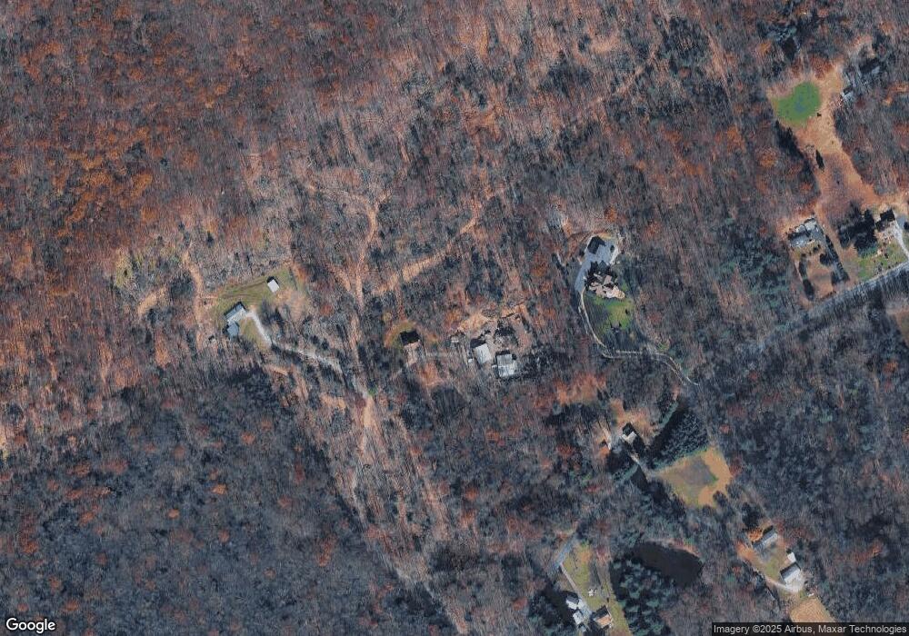
Map
Nearby Homes
- 107 Moonshine Rd
- 0 Fisher Ave
- 3204 State Route 72
- 11 Wolfe Dr
- 230 Monroe Valley Dr
- 0 Darkes Rd Unit PALN2019172
- 60 Bordnersville Rd
- 2963 Pennsylvania 72
- 1120 Suedberg Rd
- 29 Park Dr
- 9701 United States Route 209
- 2005 Yordys Bridge Rd
- 599 E Market St
- 453 E Market St
- 457 E Market St
- 128 E Market St
- 111 E Market St
- Lot #49 Ss Shepherd St
- 127 and 129 E Market St
- 311 Vine St