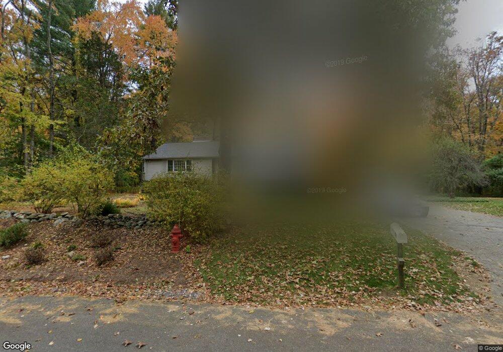
28 Brewster Rd Sudbury, MA 01776
Estimated Value: $998,000 - $1,293,000
4
Beds
3
Baths
2,064
Sq Ft
$542/Sq Ft
Est. Value
About This Home
This home is located at 28 Brewster Rd, Sudbury, MA 01776 and is currently estimated at $1,119,504, approximately $542 per square foot. 28 Brewster Rd is a home located in Middlesex County with nearby schools including Peter Noyes Elementary School, Ephraim Curtis Middle School, and Lincoln-Sudbury Regional High School.
Ownership History
Date
Name
Owned For
Owner Type
Purchase Details
Closed on
Jun 11, 1984
Bought by
Rosen Herbert C and Rosen Lois R
Current Estimated Value
Create a Home Valuation Report for This Property
The Home Valuation Report is an in-depth analysis detailing your home's value as well as a comparison with similar homes in the area
Home Values in the Area
Average Home Value in this Area
Purchase History
| Date | Buyer | Sale Price | Title Company |
|---|---|---|---|
| Rosen Herbert C | $164,500 | -- |
Source: Public Records
Mortgage History
| Date | Status | Borrower | Loan Amount |
|---|---|---|---|
| Open | Rosen Herbert C | $85,000 | |
| Closed | Rosen Herbert C | $200,000 | |
| Closed | Rosen Herbert C | $180,000 | |
| Closed | Rosen Herbert C | $182,000 |
Source: Public Records
Tax History Compared to Growth
Tax History
| Year | Tax Paid | Tax Assessment Tax Assessment Total Assessment is a certain percentage of the fair market value that is determined by local assessors to be the total taxable value of land and additions on the property. | Land | Improvement |
|---|---|---|---|---|
| 2025 | $14,196 | $969,700 | $472,000 | $497,700 |
| 2024 | $13,720 | $939,100 | $458,400 | $480,700 |
| 2023 | $13,556 | $859,600 | $425,200 | $434,400 |
| 2022 | $12,615 | $698,900 | $390,800 | $308,100 |
| 2021 | $12,294 | $652,900 | $390,800 | $262,100 |
| 2020 | $8,447 | $652,900 | $390,800 | $262,100 |
| 2019 | $11,693 | $652,900 | $390,800 | $262,100 |
| 2018 | $7,937 | $624,300 | $410,800 | $213,500 |
| 2017 | $7,696 | $605,000 | $406,000 | $199,000 |
| 2016 | $10,192 | $572,600 | $390,800 | $181,800 |
| 2015 | $9,826 | $558,300 | $376,000 | $182,300 |
| 2014 | $9,821 | $544,700 | $365,200 | $179,500 |
Source: Public Records
Map
Nearby Homes
- 268 Old Sudbury Rd
- 7 Nashoba Rd
- 377 Concord Rd
- 270 Old Lancaster Rd
- 20 Kato Dr
- 427 Concord Rd
- 4 Kato Summit
- 210 Plympton Rd
- 10 Bradley Place
- 447 Peakham Rd
- 23 Massasoit Ave
- 24 Goodnow Rd
- 271 Landham Rd
- 89 Bridle Path
- 40 Tall Pine Dr Unit 12
- 1011 Boston Post Rd
- 16 Meadowbrook Cir
- 14 Tanbark Rd
- 12 Camperdown Ln
- 7 Adams Rd
- LOT B Brewster Rd
- 22 Brewster Rd
- 36 Brewster Rd
- 19 Brewster Rd
- 16 Brewster Rd
- 31 Brewster Rd
- 46 Brewster Rd
- 37 Brewster Rd
- 54 Brewster Rd
- 241 Old Sudbury Rd
- 286 Goodmans Hill Rd
- 249 Old Sudbury Rd
- 64 Brewster Rd
- 280 Goodmans Hill Rd
- 277 Old Sudbury Rd
- 258 Goodmans Hill Rd
- 304 Goodmans Hill Rd
- 295 Goodmans Hill Rd
- 250 Old Sudbury Rd
- 281 Goodmans Hill Rd