28 Campbell Dr Bridgton, ME 04009
Estimated Value: $353,300 - $438,000
3
Beds
2
Baths
2,172
Sq Ft
$181/Sq Ft
Est. Value
About This Home
This home is located at 28 Campbell Dr, Bridgton, ME 04009 and is currently estimated at $392,075, approximately $180 per square foot. 28 Campbell Dr is a home located in Cumberland County with nearby schools including Lake Region High School.
Ownership History
Date
Name
Owned For
Owner Type
Purchase Details
Closed on
Aug 24, 2007
Sold by
Webber Amy
Bought by
Perkins Kelly A and Perkins James J
Current Estimated Value
Home Financials for this Owner
Home Financials are based on the most recent Mortgage that was taken out on this home.
Original Mortgage
$170,050
Outstanding Balance
$108,326
Interest Rate
6.78%
Mortgage Type
FHA
Estimated Equity
$283,749
Purchase Details
Closed on
Mar 1, 2006
Sold by
Hill Wayne and Hill Michelle
Bought by
Webber Amy
Home Financials for this Owner
Home Financials are based on the most recent Mortgage that was taken out on this home.
Original Mortgage
$177,550
Interest Rate
6.16%
Mortgage Type
FHA
Create a Home Valuation Report for This Property
The Home Valuation Report is an in-depth analysis detailing your home's value as well as a comparison with similar homes in the area
Home Values in the Area
Average Home Value in this Area
Purchase History
| Date | Buyer | Sale Price | Title Company |
|---|---|---|---|
| Perkins Kelly A | -- | -- | |
| Webber Amy | -- | -- |
Source: Public Records
Mortgage History
| Date | Status | Borrower | Loan Amount |
|---|---|---|---|
| Open | Perkins Kelly A | $170,050 | |
| Previous Owner | Webber Amy | $177,550 |
Source: Public Records
Tax History Compared to Growth
Tax History
| Year | Tax Paid | Tax Assessment Tax Assessment Total Assessment is a certain percentage of the fair market value that is determined by local assessors to be the total taxable value of land and additions on the property. | Land | Improvement |
|---|---|---|---|---|
| 2024 | $2,178 | $127,771 | $33,512 | $94,259 |
| 2023 | $2,198 | $127,771 | $33,512 | $94,259 |
| 2022 | $1,942 | $127,771 | $33,512 | $94,259 |
| 2021 | $1,891 | $127,771 | $33,512 | $94,259 |
| 2020 | $1,910 | $127,771 | $33,512 | $94,259 |
| 2019 | $1,917 | $127,771 | $33,512 | $94,259 |
| 2018 | $1,891 | $127,771 | $33,512 | $94,259 |
| 2017 | $1,955 | $127,771 | $33,512 | $94,259 |
| 2016 | $1,897 | $127,771 | $33,512 | $94,259 |
| 2015 | $1,751 | $127,374 | $40,517 | $86,857 |
| 2014 | $1,791 | $127,374 | $40,517 | $86,857 |
Source: Public Records
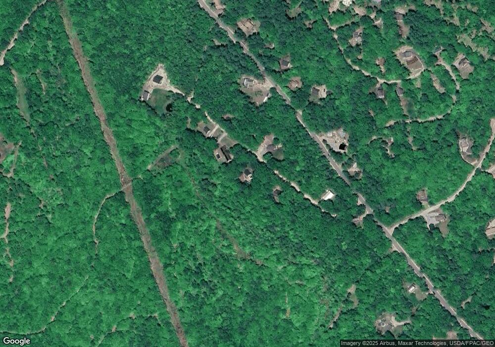
Map
Nearby Homes
- 11 Campbell Dr
- 188 Knights Hill Rd
- 144 Kezar Heights
- 10 N Bay Rd
- 5 Elk Ln
- 97 Kezar Heights
- 4 Mountain Rd Unit 4
- 28 Colony Ln
- Map20Lot19 Carter Hill Rd
- 1376 Bridgton Rd
- Lot 3 Jameson Dr
- Lot 1 Whitney Rd
- 6 E Pinnacle Rd Unit 6
- 31 Helena Way
- 699 N North High St
- 720 Bridgton Rd
- 518 Bridgton Rd
- 17 Dyvonne Terrace
- 665 N High St
- 260 Hio Ridge Rd
- 0 Campbell Dr
- 34 Campbell Dr
- 35 Campbell Dr
- 42 Campbell Dr
- Lot 41 Campbell Dr
- 547 Knights Hill Rd
- Lot 2 Whitetail Ridge
- 6 Knights Hill Rd
- 1 Berry Rd White Tail
- Lot 4 Whitetail Ridge
- 14 C Knights Hill Road Es Rd
- 4 Knights Hill Rd
- 14 Knights Hill Rd Unit Lot 14C
- 549 Knights Hill Rd
- 239 Knights Hill Rd
- 256 Knights Hill Rd
- 229 Knights Hill Rd
- 253 Knights Hill Rd
- 245 Knights Hill Rd
- 220 Knights Hill Rd