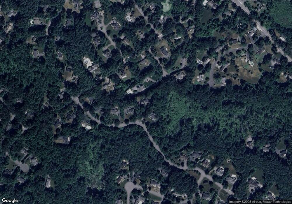
28 Camperdown Ln Sudbury, MA 01776
Estimated Value: $1,506,000 - $2,132,000
4
Beds
4
Baths
3,516
Sq Ft
$516/Sq Ft
Est. Value
About This Home
This home is located at 28 Camperdown Ln, Sudbury, MA 01776 and is currently estimated at $1,813,127, approximately $515 per square foot. 28 Camperdown Ln is a home located in Middlesex County with nearby schools including General John Nixon Elementary School, Ephraim Curtis Middle School, and Lincoln-Sudbury Regional High School.
Ownership History
Date
Name
Owned For
Owner Type
Purchase Details
Closed on
Sep 25, 1997
Sold by
Parkwood Est Rlty Inc
Bought by
Defelice Nicola J and Defelice Daniel C
Current Estimated Value
Home Financials for this Owner
Home Financials are based on the most recent Mortgage that was taken out on this home.
Original Mortgage
$472,800
Interest Rate
7.47%
Mortgage Type
Purchase Money Mortgage
Create a Home Valuation Report for This Property
The Home Valuation Report is an in-depth analysis detailing your home's value as well as a comparison with similar homes in the area
Home Values in the Area
Average Home Value in this Area
Purchase History
| Date | Buyer | Sale Price | Title Company |
|---|---|---|---|
| Defelice Nicola J | $591,000 | -- |
Source: Public Records
Mortgage History
| Date | Status | Borrower | Loan Amount |
|---|---|---|---|
| Open | Defelice Nicola J | $376,000 | |
| Closed | Defelice Nicola J | $382,000 | |
| Closed | Defelice Nicola J | $470,000 | |
| Closed | Defelice Nicola J | $472,800 |
Source: Public Records
Tax History Compared to Growth
Tax History
| Year | Tax Paid | Tax Assessment Tax Assessment Total Assessment is a certain percentage of the fair market value that is determined by local assessors to be the total taxable value of land and additions on the property. | Land | Improvement |
|---|---|---|---|---|
| 2025 | $24,090 | $1,645,500 | $624,800 | $1,020,700 |
| 2024 | $23,186 | $1,587,000 | $606,800 | $980,200 |
| 2023 | $21,862 | $1,386,300 | $567,200 | $819,100 |
| 2022 | $20,424 | $1,131,500 | $480,400 | $651,100 |
| 2021 | $19,301 | $1,025,000 | $480,400 | $544,600 |
| 2020 | $19,406 | $1,051,800 | $507,200 | $544,600 |
| 2019 | $18,838 | $1,051,800 | $507,200 | $544,600 |
| 2018 | $18,228 | $1,016,600 | $520,400 | $496,200 |
| 2017 | $17,309 | $975,700 | $484,400 | $491,300 |
| 2016 | $16,775 | $942,400 | $465,600 | $476,800 |
| 2015 | $16,254 | $923,500 | $456,400 | $467,100 |
| 2014 | $16,240 | $900,700 | $443,200 | $457,500 |
Source: Public Records
Map
Nearby Homes
- 12 Camperdown Ln
- 54 Phillips Rd
- 36 Old Forge Ln
- 47 Fairbank Rd
- 45 Widow Rites Ln
- 55 Widow Rites Ln
- 70 Marlboro Rd
- 24 Goodnow Rd
- 5 Taintor Dr
- 11 Great Lake Dr
- 14 Buckmaster Dr
- 16 Meadowbrook Cir
- 14 Tanbark Rd
- 104 Mossman Rd
- 73 Willow Rd
- 447 Peakham Rd
- 97 Barton Dr
- 371 Willis Rd
- 29 Kendall Rd
- 7 Saddle Ridge Rd
- 32 Camperdown Ln
- 11 Twin Meadow Ln
- 26 Camperdown Ln
- 20 Camperdown Ln
- 130 Fairbank Rd
- 14 Twin Meadow Ln
- 120 Fairbank Rd
- 6 Twin Meadow Ln
- 16 Lot 16 Camperdown Ln
- 148 Fairbank Rd
- 4 Twin Meadow Ln
- 4 Camperdown Ln
- 31 Ward Rd
- 9 Cortland Ln
- 5 Camperdown Ln
- 119 Fairbank Rd
- 58 Camperdown Ln
- 8 Cortland Ln
- 36 Abbottswood
- 5 Parmenter Rd
