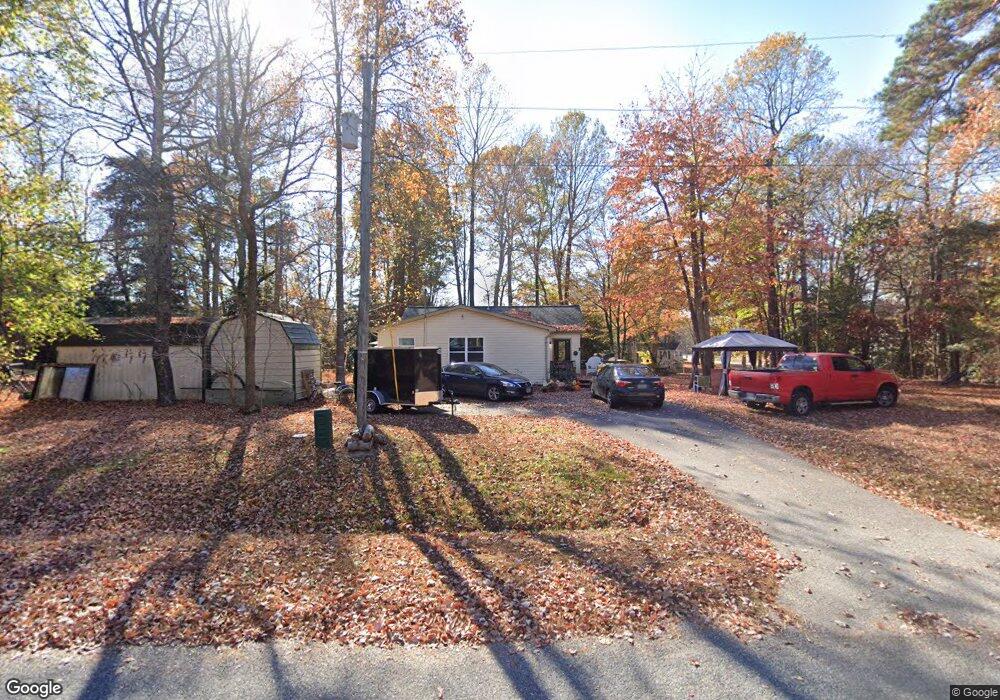
28 Carter Way Montross, VA 22520
Estimated Value: $279,000 - $325,000
3
Beds
2
Baths
2,032
Sq Ft
$148/Sq Ft
Est. Value
About This Home
This home is located at 28 Carter Way, Montross, VA 22520 and is currently estimated at $301,553, approximately $148 per square foot. 28 Carter Way is a home located in Westmoreland County with nearby schools including Montross Middle School and Westmoreland High School.
Ownership History
Date
Name
Owned For
Owner Type
Purchase Details
Closed on
May 2, 2014
Sold by
Rowe Norman K
Bought by
Harvey Kenneth Thomas
Current Estimated Value
Home Financials for this Owner
Home Financials are based on the most recent Mortgage that was taken out on this home.
Original Mortgage
$145,604
Outstanding Balance
$111,133
Interest Rate
4.37%
Mortgage Type
FHA
Estimated Equity
$190,420
Create a Home Valuation Report for This Property
The Home Valuation Report is an in-depth analysis detailing your home's value as well as a comparison with similar homes in the area
Home Values in the Area
Average Home Value in this Area
Purchase History
| Date | Buyer | Sale Price | Title Company |
|---|---|---|---|
| Harvey Kenneth Thomas | $159,000 | -- |
Source: Public Records
Mortgage History
| Date | Status | Borrower | Loan Amount |
|---|---|---|---|
| Open | Harvey Kenneth Thomas | $145,604 |
Source: Public Records
Tax History Compared to Growth
Tax History
| Year | Tax Paid | Tax Assessment Tax Assessment Total Assessment is a certain percentage of the fair market value that is determined by local assessors to be the total taxable value of land and additions on the property. | Land | Improvement |
|---|---|---|---|---|
| 2024 | $1,375 | $202,200 | $39,200 | $163,000 |
| 2023 | $1,254 | $202,200 | $39,200 | $163,000 |
| 2022 | $1,254 | $202,200 | $39,200 | $163,000 |
| 2021 | $1,265 | $166,400 | $39,200 | $127,200 |
| 2020 | $1,265 | $166,400 | $39,200 | $127,200 |
| 2019 | $1,082 | $166,400 | $39,200 | $127,200 |
| 2018 | $1,015 | $166,400 | $39,200 | $127,200 |
| 2017 | -- | $166,400 | $39,200 | $127,200 |
| 2016 | $998 | $166,400 | $39,200 | $127,200 |
| 2015 | -- | $176,200 | $39,200 | $137,000 |
| 2014 | -- | $0 | $0 | $0 |
| 2013 | -- | $176,200 | $39,200 | $137,000 |
Source: Public Records
Map
Nearby Homes
- lot 38 and 39 Cavalry Dr
- LOT # 34 Cavalry Dr
- 88 Carter Way
- 49 Avian Ct
- 59 Federalist Way
- Lot 70 Federalist Way
- 58 Federalist Way
- LOT 41 Traveller Cir
- Lot 68 Traveller Cir
- LOT 37 Woodbury Dr
- 32 General Lee Ct
- 114 Dragoon Dr
- 185 Woodberry Dr
- 299 Traveller Cir
- 0 W Lee Way Unit VAWE2008908
- 0 N Independence Dr Unit VAWE2007714
- 0 N Independence Dr Unit VAWE2008090
- LOT #43 S Independence Dr
- 349 Timberland Dr
- Lot #34 Clover Ct
- 0 Charter Way Unit KG7917126
- LOT 1 Charter Way
- 486 S Independence Dr
- Carter Way
- 430 S Independence Dr
- 0 Cavalry Dr Unit 2114688
- 0 Cavalry Dr
- 0 Carter Way Unit WE6553338
- 0 Carter Way
- Lot #160 S Independence Dr
- 1057 S Independence Dr
- Cavalry Dr
- 38 Cavalry Dr
- Lot 38 Calvary
- 56 Carter Way
- Lot #4 Hook Dr
- 0 Hook Dr
- 516 S Independence Dr
- 72 Carter Way
- 22 Calvary Dr