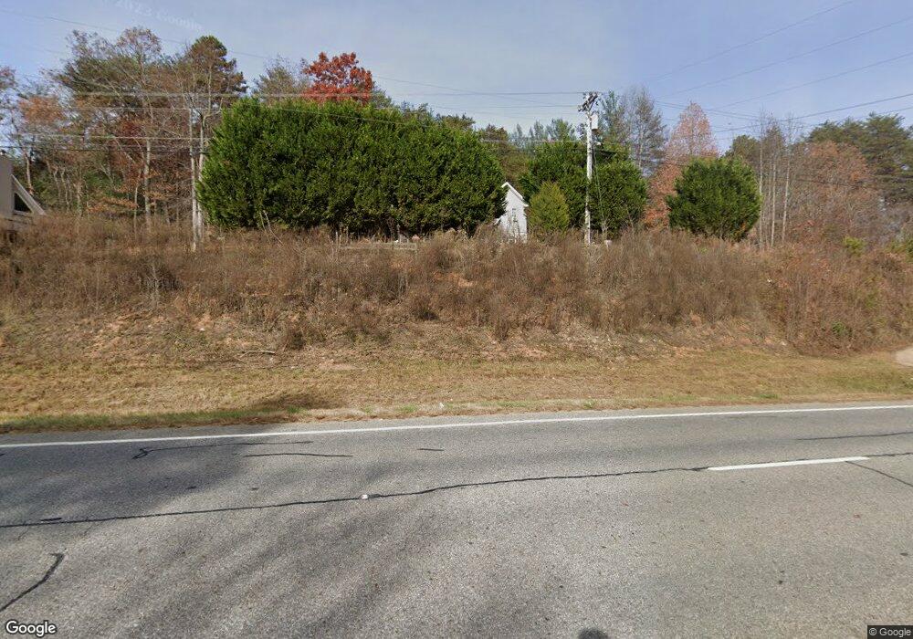
28 Cherrie Ln Blairsville, GA 30512
Estimated Value: $425,000 - $820,348
3
Beds
2
Baths
1,056
Sq Ft
$632/Sq Ft
Est. Value
About This Home
This home is located at 28 Cherrie Ln, Blairsville, GA 30512 and is currently estimated at $667,116, approximately $631 per square foot. 28 Cherrie Ln is a home located in Union County with nearby schools including Union County Primary School, Union County Elementary School, and Union County Middle School.
Ownership History
Date
Name
Owned For
Owner Type
Purchase Details
Closed on
Aug 12, 2009
Sold by
Lamb Larry
Bought by
The Gordon Brown & Ila Brown Joint Livin
Current Estimated Value
Purchase Details
Closed on
Jul 8, 2009
Sold by
Lamb Larry
Bought by
The Gordon Brown & Ila Brown Joint Livin
Purchase Details
Closed on
Mar 8, 1993
Bought by
Lamb Larry and Lamb Sharon
Create a Home Valuation Report for This Property
The Home Valuation Report is an in-depth analysis detailing your home's value as well as a comparison with similar homes in the area
Home Values in the Area
Average Home Value in this Area
Purchase History
| Date | Buyer | Sale Price | Title Company |
|---|---|---|---|
| The Gordon Brown & Ila Brown Joint Livin | $130,000 | -- | |
| The Gordon Brown & Ila Brown Joint Livin | $150,000 | -- | |
| Lamb Larry | $75,000 | -- |
Source: Public Records
Tax History Compared to Growth
Tax History
| Year | Tax Paid | Tax Assessment Tax Assessment Total Assessment is a certain percentage of the fair market value that is determined by local assessors to be the total taxable value of land and additions on the property. | Land | Improvement |
|---|---|---|---|---|
| 2024 | $3,810 | $322,640 | $74,000 | $248,640 |
| 2023 | $4,011 | $301,280 | $59,200 | $242,080 |
| 2022 | $3,325 | $249,720 | $59,200 | $190,520 |
| 2021 | $2,787 | $176,840 | $23,680 | $153,160 |
| 2020 | $1,744 | $92,212 | $12,452 | $79,760 |
| 2019 | $1,649 | $92,212 | $12,452 | $79,760 |
| 2018 | $1,620 | $92,212 | $12,452 | $79,760 |
| 2017 | $1,620 | $92,212 | $12,452 | $79,760 |
| 2016 | $1,621 | $92,212 | $12,452 | $79,760 |
| 2015 | $1,634 | $92,212 | $12,452 | $79,760 |
| 2013 | -- | $92,211 | $12,451 | $79,759 |
Source: Public Records
Map
Nearby Homes
- 82 Rileigh Ridge
- Lot 36 Sanctuary Dr
- Lt 19 Bitter Creek Rd
- 65 Jenkins Trail
- 2165 Townsend Mill Rd
- 196 Wildwind Ln
- 26.18 AC Green Rd
- LOT21 Bryant Cove Rd
- LOT20 Bryant Cove Rd
- LOT22 Bryant Cove Rd
- 1631 Woods Valley Rd
- 1628 Woods Valley Rd
- 11,12 Mountain Laurel Estate
- 1249 Trackrock Gap Rd
- 187 Bierce Dr
- 6205 Trevor Way
- 0 Morgan Creek Lot 6 Unit 329479
- 6124 Stone Mill Dr
- 181 Morgan Ridge Ct
- 5.7 ac Butternut Grove Rd
- 23 Cherrie Ln
- 5629 Highway 515 E
- 0 Sky Valley
- 5610 Highway 515 E
- 72 Greenbriar Dr
- 72 Greenbriar Dr Unit Lot Tract 1
- 72 Sky Valley
- 1633 Greenbriar Dr
- 0 Greenbriar Dr
- 5773 Highway 515 E
- 100 Sky Valley Unit 21.396
- 100 Sky Valley
- 23 Greenbriar Dr
- 0 Bond Rd Unit 3154305
- 126 Sky Valley
- 4838 Bond Rd
- 75 Bond Rd
- 87 Bitter Creek Place
- 43 Bond Rd
- 4820 Bond Rd
