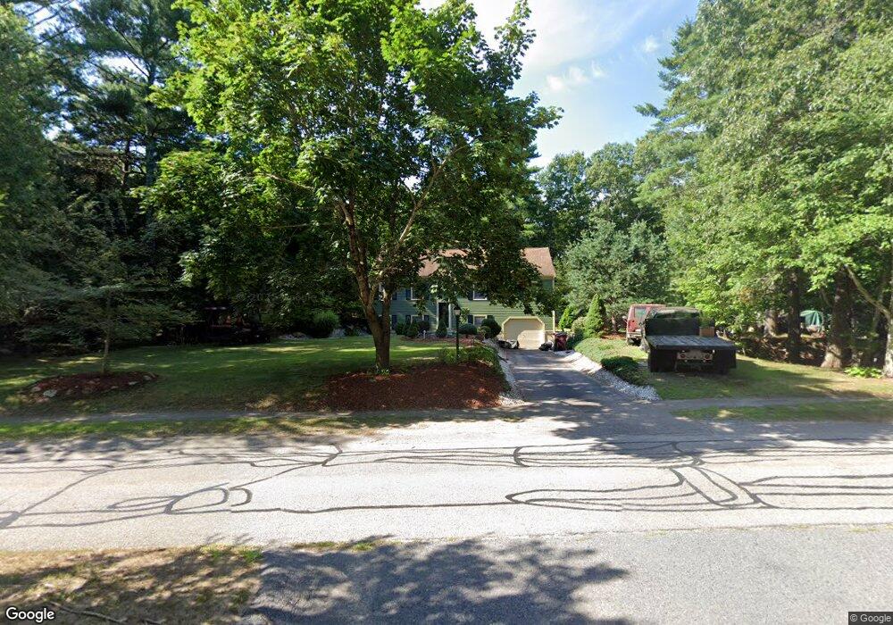
28 Colby Dr Middleboro, MA 02346
Estimated Value: $513,000 - $649,000
3
Beds
2
Baths
1,603
Sq Ft
$363/Sq Ft
Est. Value
About This Home
This home is located at 28 Colby Dr, Middleboro, MA 02346 and is currently estimated at $581,212, approximately $362 per square foot. 28 Colby Dr is a home located in Plymouth County with nearby schools including Mary K. Goode Elementary School.
Ownership History
Date
Name
Owned For
Owner Type
Purchase Details
Closed on
Jul 25, 1997
Sold by
Geisler Wayne E and Geisler Mary E
Bought by
Przygoda Kenneth A and Przydoda Priscilla G
Current Estimated Value
Purchase Details
Closed on
May 10, 1996
Sold by
M&D Rt and Meurin Daniel
Bought by
Geisler Wayne E and Geisler Mary E
Create a Home Valuation Report for This Property
The Home Valuation Report is an in-depth analysis detailing your home's value as well as a comparison with similar homes in the area
Home Values in the Area
Average Home Value in this Area
Purchase History
| Date | Buyer | Sale Price | Title Company |
|---|---|---|---|
| Przygoda Kenneth A | $151,000 | -- | |
| Geisler Wayne E | $142,500 | -- |
Source: Public Records
Mortgage History
| Date | Status | Borrower | Loan Amount |
|---|---|---|---|
| Open | Geisler Wayne E | $96,000 | |
| Open | Geisler Wayne E | $162,400 | |
| Closed | Geisler Wayne E | $15,000 |
Source: Public Records
Tax History
| Year | Tax Paid | Tax Assessment Tax Assessment Total Assessment is a certain percentage of the fair market value that is determined by local assessors to be the total taxable value of land and additions on the property. | Land | Improvement |
|---|---|---|---|---|
| 2025 | $5,520 | $411,600 | $180,600 | $231,000 |
| 2024 | $5,198 | $383,900 | $172,200 | $211,700 |
| 2023 | $5,128 | $360,100 | $172,200 | $187,900 |
| 2022 | $4,746 | $308,600 | $149,500 | $159,100 |
| 2021 | $4,557 | $280,100 | $137,300 | $142,800 |
| 2020 | $4,375 | $275,500 | $137,300 | $138,200 |
| 2019 | $4,204 | $271,600 | $137,300 | $134,300 |
| 2018 | $3,813 | $244,400 | $124,800 | $119,600 |
| 2017 | $3,720 | $235,900 | $120,000 | $115,900 |
| 2016 | $3,493 | $219,400 | $113,400 | $106,000 |
| 2015 | $3,443 | $218,200 | $113,400 | $104,800 |
Source: Public Records
Map
Nearby Homes
Your Personal Tour Guide
Ask me questions while you tour the home.