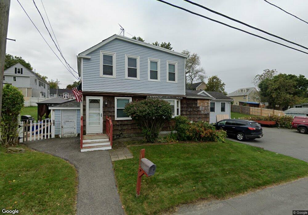
28 Comet Rd Methuen, MA 01844
The East End NeighborhoodEstimated Value: $550,000 - $652,000
3
Beds
3
Baths
2,246
Sq Ft
$262/Sq Ft
Est. Value
About This Home
This home is located at 28 Comet Rd, Methuen, MA 01844 and is currently estimated at $588,849, approximately $262 per square foot. 28 Comet Rd is a home located in Essex County with nearby schools including Timony Grammar School, Methuen High School, and Community Day Charter Public School - Gateway.
Ownership History
Date
Name
Owned For
Owner Type
Purchase Details
Closed on
Mar 17, 2025
Sold by
Cooney William F and Cooney Dinora N
Bought by
Cooney Ft and Cooney
Current Estimated Value
Purchase Details
Closed on
Oct 31, 1994
Sold by
Trovato John J
Bought by
Cooney William F
Create a Home Valuation Report for This Property
The Home Valuation Report is an in-depth analysis detailing your home's value as well as a comparison with similar homes in the area
Home Values in the Area
Average Home Value in this Area
Purchase History
| Date | Buyer | Sale Price | Title Company |
|---|---|---|---|
| Cooney Ft | -- | None Available | |
| Cooney Ft | -- | None Available | |
| Cooney William F | $87,000 | -- | |
| Cooney William F | $87,000 | -- |
Source: Public Records
Mortgage History
| Date | Status | Borrower | Loan Amount |
|---|---|---|---|
| Previous Owner | Cooney William F | $164,750 | |
| Previous Owner | Cooney William F | $25,174 | |
| Previous Owner | Cooney William F | $139,000 |
Source: Public Records
Tax History
| Year | Tax Paid | Tax Assessment Tax Assessment Total Assessment is a certain percentage of the fair market value that is determined by local assessors to be the total taxable value of land and additions on the property. | Land | Improvement |
|---|---|---|---|---|
| 2025 | $5,230 | $494,300 | $213,100 | $281,200 |
| 2024 | $5,089 | $468,600 | $194,400 | $274,200 |
| 2023 | $6,203 | $530,200 | $172,800 | $357,400 |
| 2022 | $5,878 | $450,400 | $144,000 | $306,400 |
| 2021 | $5,523 | $418,700 | $136,800 | $281,900 |
| 2020 | $5,462 | $406,400 | $136,800 | $269,600 |
| 2019 | $5,155 | $363,300 | $122,400 | $240,900 |
| 2018 | $5,010 | $351,100 | $122,400 | $228,700 |
| 2017 | $4,845 | $330,700 | $122,400 | $208,300 |
| 2016 | $4,730 | $319,400 | $115,200 | $204,200 |
| 2015 | $4,544 | $311,200 | $115,200 | $196,000 |
Source: Public Records
Map
Nearby Homes
- 30 Anderson Dr
- 51 Ford St Unit A
- 5 Pilgrim Cir Unit C
- 68 Ashford St
- 396 Oak St
- 10 Fenwick Cir
- 16 Christopher Dr Unit 38
- 45 Christopher Dr Unit 106
- 128 Pleasant Valley St
- 201 Aberdeen Rd
- 1 Riverview Blvd Unit 8-203
- 1 Riverview Blvd Unit 1:209
- 1 Riverview Blvd Unit 4-203
- 17 Ferry Rd
- 7 Erhardt Terrace
- 27 Russell Farm Dr
- 18 Erhardt Terrace
- 65 Arthur St
- 6 Ferry Rd
- 32 Josephine Ave
Your Personal Tour Guide
Ask me questions while you tour the home.