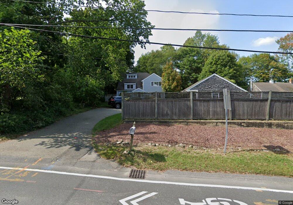
28 Cornet Stetson Rd Scituate, MA 02066
Estimated Value: $752,870 - $908,000
2
Beds
2
Baths
1,399
Sq Ft
$581/Sq Ft
Est. Value
About This Home
This home is located at 28 Cornet Stetson Rd, Scituate, MA 02066 and is currently estimated at $812,968, approximately $581 per square foot. 28 Cornet Stetson Rd is a home located in Plymouth County with nearby schools including Jenkins Elementary School, Lester J. Gates Middle School, and Scituate High School.
Ownership History
Date
Name
Owned For
Owner Type
Purchase Details
Closed on
Jun 9, 1993
Sold by
Sillcocks Warren B
Bought by
Sogolow Andrew and Sogolow Michelle M
Current Estimated Value
Home Financials for this Owner
Home Financials are based on the most recent Mortgage that was taken out on this home.
Original Mortgage
$126,400
Interest Rate
7.41%
Mortgage Type
Purchase Money Mortgage
Create a Home Valuation Report for This Property
The Home Valuation Report is an in-depth analysis detailing your home's value as well as a comparison with similar homes in the area
Home Values in the Area
Average Home Value in this Area
Purchase History
| Date | Buyer | Sale Price | Title Company |
|---|---|---|---|
| Sogolow Andrew | $158,000 | -- |
Source: Public Records
Mortgage History
| Date | Status | Borrower | Loan Amount |
|---|---|---|---|
| Open | Sogolow Andrew | $15,000 | |
| Open | Sogolow Andrew | $330,000 | |
| Closed | Sogolow Andrew | $165,000 | |
| Closed | Sogolow Andrew | $126,400 |
Source: Public Records
Tax History
| Year | Tax Paid | Tax Assessment Tax Assessment Total Assessment is a certain percentage of the fair market value that is determined by local assessors to be the total taxable value of land and additions on the property. | Land | Improvement |
|---|---|---|---|---|
| 2025 | $5,321 | $532,600 | $355,000 | $177,600 |
| 2024 | $5,243 | $506,100 | $322,700 | $183,400 |
| 2023 | $5,008 | $456,000 | $276,100 | $179,900 |
| 2022 | $5,008 | $396,800 | $237,600 | $159,200 |
| 2021 | $5,012 | $376,000 | $226,300 | $149,700 |
| 2020 | $4,953 | $366,900 | $217,600 | $149,300 |
| 2019 | $4,957 | $360,800 | $213,300 | $147,500 |
| 2018 | $5,220 | $374,200 | $222,100 | $152,100 |
| 2017 | $5,029 | $356,900 | $211,000 | $145,900 |
| 2016 | $4,890 | $345,800 | $199,900 | $145,900 |
| 2015 | $4,530 | $345,800 | $199,900 | $145,900 |
Source: Public Records
Map
Nearby Homes
- 17 Old Oaken Bucket Rd
- 19 Ford Place Unit 1
- 19 Ford Place Unit 2
- 19 Dunster Ln
- 14 Old Country Way Unit C
- 14 Old Country Way Unit B
- 94 Old Oaken Bucket Rd
- 98 Satuit Trail
- 21 Jenkins Place
- 9 Cushing Park Rd
- 48 Neal Gate St
- 95 Stony Brook Ln
- 115 Elm St
- 111 Elm St
- 59 Greenfield Ln
- 20 Grace Way Unit 20
- 6 Grace Way Unit 6
- 27 Grace Way
- 32 Carolyn Cir
- 25 Webster Farm Way
- 22 Cornet Stetson Rd
- 36 Cornet Stetson Rd
- 29 Cornet Stetson Rd
- Lot A Old Oaken Bucket Rd
- 255 Chief Justice Cushing Hwy
- 261 Chief Justice Cushing Hwy
- 33 Cornet Stetson Rd
- 18 Old Oaken Bucket Rd
- 39 Cornet Stetson Rd
- 46 Cornet Stetson Rd
- 267 C j Cushing Hwy
- 23 Old Oaken Bucket Rd
- 273 Chief Justice Cushing Hwy
- 45 Cornet Stetson Rd
- 267 Chief Justice Cushing Hwy
- 245 Chief Justice Cushing Hwy
- 26 Old Oaken Bucket Rd
- 47 Cornet Stetson Rd
- 277 Chief Justice Cushing Hwy
- 275 Chief Justice Cushing Hwy Unit 2
Your Personal Tour Guide
Ask me questions while you tour the home.