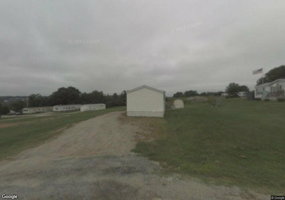
28 Daniel Dr Belfast, ME 04915
Estimated Value: $82,044 - $197,000
Studio
--
Bath
1,152
Sq Ft
$138/Sq Ft
Est. Value
About This Home
This home is located at 28 Daniel Dr, Belfast, ME 04915 and is currently estimated at $159,261, approximately $138 per square foot. 28 Daniel Dr is a home with nearby schools including Cornerspring Children's House and The School At Sweetser - Belfast.
Create a Home Valuation Report for This Property
The Home Valuation Report is an in-depth analysis detailing your home's value as well as a comparison with similar homes in the area
Home Values in the Area
Average Home Value in this Area
Tax History
| Year | Tax Paid | Tax Assessment Tax Assessment Total Assessment is a certain percentage of the fair market value that is determined by local assessors to be the total taxable value of land and additions on the property. | Land | Improvement |
|---|---|---|---|---|
| 2025 | $484 | $29,600 | $0 | $29,600 |
| 2024 | $456 | $29,600 | $0 | $29,600 |
| 2023 | $324 | $16,100 | $0 | $16,100 |
| 2022 | $345 | $16,100 | $0 | $16,100 |
| 2021 | $370 | $16,800 | $0 | $16,800 |
| 2020 | $410 | $17,600 | $0 | $17,600 |
| 2019 | $419 | $18,300 | $0 | $18,300 |
| 2018 | $431 | $19,000 | $0 | $19,000 |
| 2017 | $539 | $24,600 | $0 | $24,600 |
| 2016 | $573 | $25,000 | $0 | $25,000 |
| 2015 | $569 | $25,400 | $0 | $25,400 |
| 2014 | $559 | $25,800 | $0 | $25,800 |
| 2013 | $545 | $26,200 | $0 | $26,200 |
Source: Public Records
Map
Nearby Homes
- 73 Swan Lake Ave
- 2 Swan Lake Ave
- 0 Robbins Rd Unit 1634953
- 388 High St
- Lot 5 Waukeag Way
- 101 Waldo Ave Unit 3-1
- 225 Waldo Ave
- 162 Waldo Ave
- 26 Old Searsport Ave
- 18 Waldo Ave
- 000 Merriam Rd
- 183 Main St
- 78 High St
- 9 James St
- 27 Court St Unit 1
- 17 Marsh Rd
- 68 Park St
- 53 Lincolnville Ave
- 41 Grove St
- 16 Cottage St
Your Personal Tour Guide
Ask me questions while you tour the home.