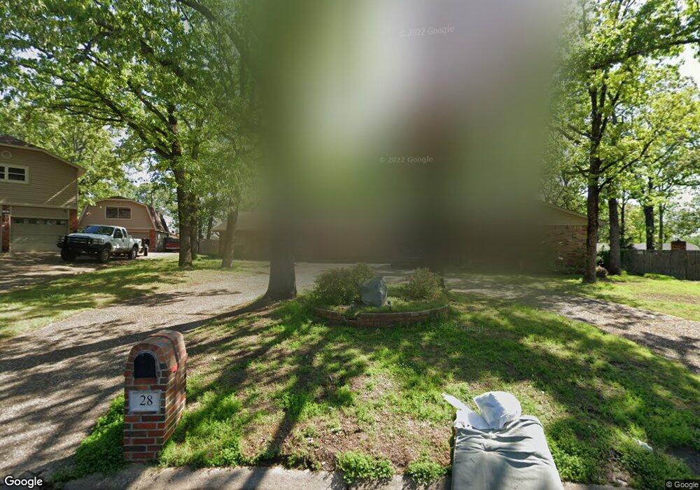
28 Daniel Dr Sherwood, AR 72120
Estimated Value: $260,087 - $309,000
--
Bed
2
Baths
2,295
Sq Ft
$122/Sq Ft
Est. Value
About This Home
This home is located at 28 Daniel Dr, Sherwood, AR 72120 and is currently estimated at $279,272, approximately $121 per square foot. 28 Daniel Dr is a home located in Pulaski County with nearby schools including Sherwood Elementary School, Sylvan Hills Middle School, and Sylvan Hills High School.
Ownership History
Date
Name
Owned For
Owner Type
Purchase Details
Closed on
Jun 20, 2011
Sold by
Blair Susan R
Bought by
Desizlets John Dean and Desizlets Wendy Lee
Current Estimated Value
Home Financials for this Owner
Home Financials are based on the most recent Mortgage that was taken out on this home.
Original Mortgage
$150,000
Outstanding Balance
$103,746
Interest Rate
4.7%
Mortgage Type
VA
Estimated Equity
$175,526
Purchase Details
Closed on
Jun 19, 1998
Sold by
Butcher James T and Butcher Kathryn A
Bought by
Butcher Living Trust
Create a Home Valuation Report for This Property
The Home Valuation Report is an in-depth analysis detailing your home's value as well as a comparison with similar homes in the area
Home Values in the Area
Average Home Value in this Area
Purchase History
| Date | Buyer | Sale Price | Title Company |
|---|---|---|---|
| Desizlets John Dean | $175,000 | American Abstract & Title Co | |
| Butcher Living Trust | -- | -- |
Source: Public Records
Mortgage History
| Date | Status | Borrower | Loan Amount |
|---|---|---|---|
| Open | Desizlets John Dean | $150,000 |
Source: Public Records
Tax History Compared to Growth
Tax History
| Year | Tax Paid | Tax Assessment Tax Assessment Total Assessment is a certain percentage of the fair market value that is determined by local assessors to be the total taxable value of land and additions on the property. | Land | Improvement |
|---|---|---|---|---|
| 2025 | $1,987 | $43,236 | $6,600 | $36,636 |
| 2024 | $1,821 | $43,236 | $6,600 | $36,636 |
| 2023 | $1,821 | $43,236 | $6,600 | $36,636 |
| 2022 | $1,960 | $43,236 | $6,600 | $36,636 |
| 2021 | $1,808 | $31,780 | $6,000 | $25,780 |
| 2020 | $1,425 | $31,780 | $6,000 | $25,780 |
| 2019 | $1,425 | $31,780 | $6,000 | $25,780 |
| 2018 | $1,450 | $31,780 | $6,000 | $25,780 |
| 2017 | $1,438 | $31,780 | $6,000 | $25,780 |
| 2016 | $1,420 | $31,430 | $6,600 | $24,830 |
| 2015 | $1,597 | $31,430 | $6,600 | $24,830 |
| 2014 | $1,597 | $31,430 | $6,600 | $24,830 |
Source: Public Records
Map
Nearby Homes
- 11 Daniel Dr
- 4636 Brandywine Cove
- +/- 8.16 Acres Windchime Ave
- 8000 Pinto Trail
- 1800 Palomino Dr
- 1301 Stafford Rd
- 1300 Stafford Rd
- 619 Newcastle Dr
- 1415 Stafford Rd
- 626 Newcastle Dr
- 609 Newcastle Dr
- 1419 Stafford Rd
- 622 Newcastle Dr
- 618 & 620 Newcastle Dr
- 610 Newcastle Dr
- 1423 Stafford Rd
- 615 & 617 Brierly Dr
- 615 Brierly Dr
- 1501 Stafford Rd
- 1926 E Lee Ave
- 30 Daniel Dr
- 26 Daniel Dr
- 331 Alanbrook Ave
- 333 Alanbrook Ave
- 329 Alanbrook Ave
- 25 Daniel Dr
- 335 Alanbrook Ave
- 1136 Club Rd
- 24 Daniel Dr
- 327 Alanbrook Ave
- 1132 Club Rd
- 1128 Club Rd
- 29 Daniel Dr
- 34 Daniel Dr
- 325 Alanbrook Ave
- 21 Daniel Dr
- 22 Daniel Dr
- 330 Alanbrook Ave
- 332 Alanbrook Ave
- 328 Alanbrook Ave