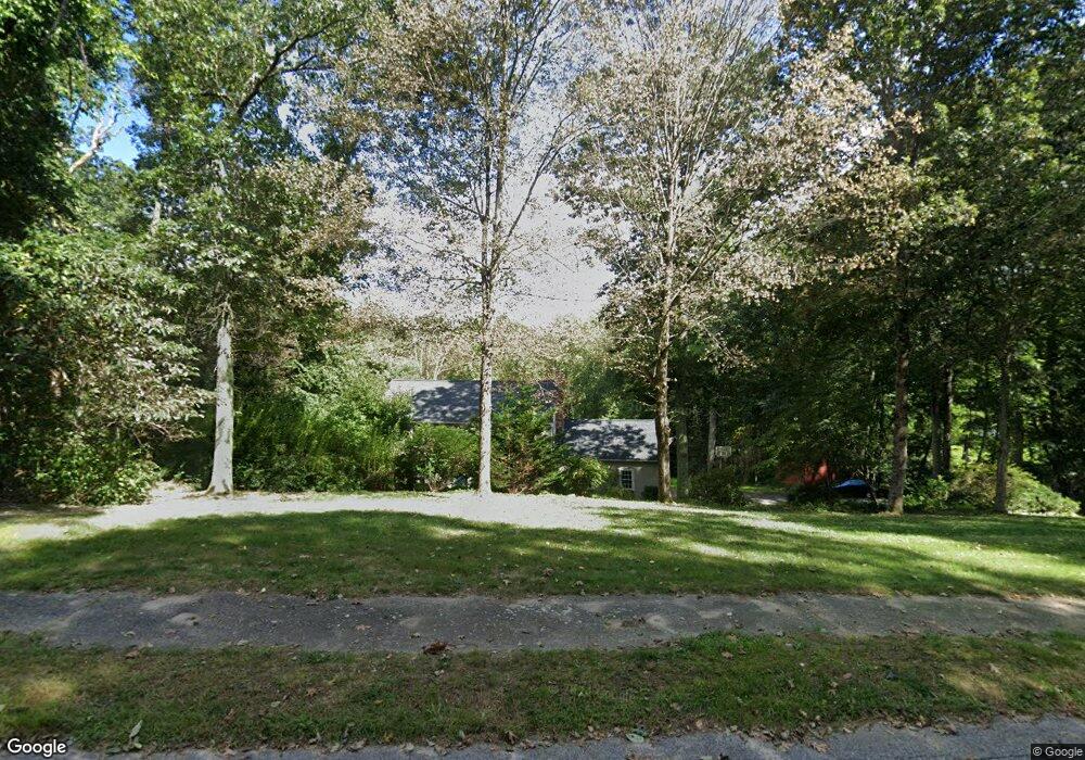
28 Deerfield Rd Sherborn, MA 01770
Estimated Value: $1,169,000 - $1,411,000
4
Beds
3
Baths
2,268
Sq Ft
$553/Sq Ft
Est. Value
About This Home
This home is located at 28 Deerfield Rd, Sherborn, MA 01770 and is currently estimated at $1,254,247, approximately $553 per square foot. 28 Deerfield Rd is a home located in Middlesex County with nearby schools including Pine Hill Elementary School, Dover-Sherborn Regional Middle School, and Dover-Sherborn Regional High School.
Ownership History
Date
Name
Owned For
Owner Type
Purchase Details
Closed on
Jul 16, 1991
Sold by
Middlesex Sb
Bought by
Williams Simon F and Williams Elizabeth
Current Estimated Value
Home Financials for this Owner
Home Financials are based on the most recent Mortgage that was taken out on this home.
Original Mortgage
$184,000
Interest Rate
9.35%
Mortgage Type
Purchase Money Mortgage
Create a Home Valuation Report for This Property
The Home Valuation Report is an in-depth analysis detailing your home's value as well as a comparison with similar homes in the area
Home Values in the Area
Average Home Value in this Area
Purchase History
| Date | Buyer | Sale Price | Title Company |
|---|---|---|---|
| Williams Simon F | $320,000 | -- |
Source: Public Records
Mortgage History
| Date | Status | Borrower | Loan Amount |
|---|---|---|---|
| Closed | Williams Simon F | $184,000 |
Source: Public Records
Tax History
| Year | Tax Paid | Tax Assessment Tax Assessment Total Assessment is a certain percentage of the fair market value that is determined by local assessors to be the total taxable value of land and additions on the property. | Land | Improvement |
|---|---|---|---|---|
| 2025 | $18,770 | $1,132,100 | $470,500 | $661,600 |
| 2024 | $17,542 | $1,034,900 | $461,800 | $573,100 |
| 2023 | $16,121 | $895,100 | $461,800 | $433,300 |
| 2022 | $15,686 | $824,300 | $450,300 | $374,000 |
| 2021 | $15,629 | $796,200 | $450,300 | $345,900 |
| 2020 | $5,290 | $796,200 | $450,300 | $345,900 |
| 2019 | $15,537 | $791,900 | $450,300 | $341,600 |
| 2018 | $4,735 | $781,100 | $450,300 | $330,800 |
| 2017 | $14,903 | $728,400 | $444,500 | $283,900 |
| 2016 | $14,257 | $693,100 | $415,700 | $277,400 |
| 2015 | $13,781 | $678,200 | $404,100 | $274,100 |
| 2014 | $13,280 | $652,900 | $392,600 | $260,300 |
Source: Public Records
Map
Nearby Homes
- 174 S Main St
- 20 Nason Hill Rd
- 32 Cider Hill Ln
- 14 Sewall Brook Ln
- 5 Farm Rd
- 90 Maple St
- 14 Fiske Pond Rd
- 59 Spywood Rd
- 65 Farm Road Lot 6
- 27 Spywood Rd
- 21 Spywood Rd
- 00000 S Main St and Bullard St
- 137 Lake St
- 615 Mayflower Landing
- 18 Northway St
- 9 Adams Ln Unit 9
- 1 Adams Ln Unit 1
- 2 Towne Lyne Rd
- 119 Middlesex St
- 1 Danforth Dr
- 24 Deerfield Rd
- 27 Deerfield Rd
- 31 Deerfield Rd
- 32 Deerfield Rd
- 23 Deerfield Rd
- 20 Deerfield Rd
- 19 Deerfield Rd
- 16 Deerfield Rd
- 94 Woodland St
- 11 Deerfield Rd
- 8 Deerfield Rd
- 7 Deerfield Rd
- 6 Deerfield Rd
- 47 Russett Hill Rd
- 92 Woodland St
- 5 Deerfield Rd
- 33 Russett Hill Rd
- 44 Russett Hill Rd
- 2 Deerfield Rd
- 36 Russett Hill Rd
Your Personal Tour Guide
Ask me questions while you tour the home.