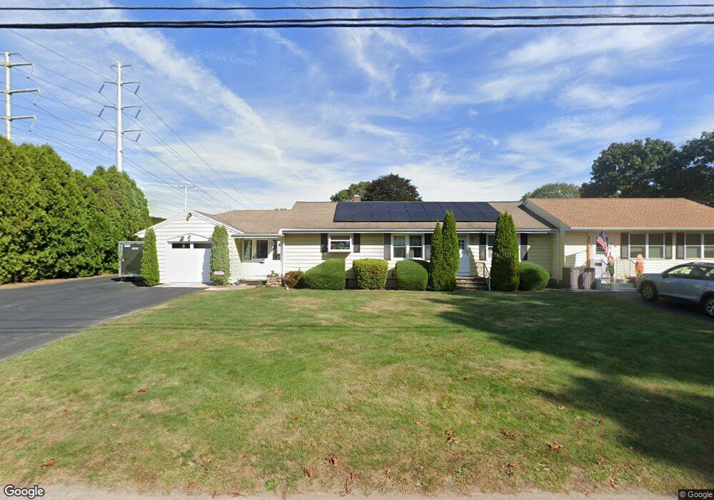
28 Dock Rd Uncasville, CT 06382
Oxoboxo River NeighborhoodEstimated Value: $339,000 - $473,000
4
Beds
3
Baths
2,124
Sq Ft
$198/Sq Ft
Est. Value
About This Home
This home is located at 28 Dock Rd, Uncasville, CT 06382 and is currently estimated at $420,849, approximately $198 per square foot. 28 Dock Rd is a home located in New London County with nearby schools including Leonard J. Tyl Middle School, Montville High School, and Bradley School-New London Regional.
Ownership History
Date
Name
Owned For
Owner Type
Purchase Details
Closed on
Jul 17, 2014
Sold by
Wozny Janet E
Bought by
Guillemette Paul G and Guillemette Mary J
Current Estimated Value
Home Financials for this Owner
Home Financials are based on the most recent Mortgage that was taken out on this home.
Original Mortgage
$137,464
Interest Rate
4.37%
Mortgage Type
FHA
Purchase Details
Closed on
Jan 7, 2014
Sold by
Wozny Janet E
Bought by
Wozny Janet E
Create a Home Valuation Report for This Property
The Home Valuation Report is an in-depth analysis detailing your home's value as well as a comparison with similar homes in the area
Home Values in the Area
Average Home Value in this Area
Purchase History
| Date | Buyer | Sale Price | Title Company |
|---|---|---|---|
| Guillemette Paul G | $140,000 | -- | |
| Guillemette Paul G | $140,000 | -- | |
| Wozny Janet E | -- | -- | |
| Wozny Janet E | -- | -- |
Source: Public Records
Mortgage History
| Date | Status | Borrower | Loan Amount |
|---|---|---|---|
| Open | Wozny Janet E | $147,893 | |
| Closed | Guillemette Paul G | $137,464 |
Source: Public Records
Tax History
| Year | Tax Paid | Tax Assessment Tax Assessment Total Assessment is a certain percentage of the fair market value that is determined by local assessors to be the total taxable value of land and additions on the property. | Land | Improvement |
|---|---|---|---|---|
| 2025 | $5,382 | $186,410 | $31,220 | $155,190 |
| 2024 | $5,177 | $186,410 | $31,220 | $155,190 |
| 2023 | $5,177 | $186,410 | $31,220 | $155,190 |
| 2022 | $4,254 | $159,250 | $31,220 | $128,030 |
| 2021 | $3,605 | $113,540 | $25,070 | $88,470 |
| 2020 | $3,676 | $113,540 | $25,070 | $88,470 |
| 2019 | $3,691 | $113,540 | $25,070 | $88,470 |
| 2018 | $2,867 | $90,360 | $25,070 | $65,290 |
| 2017 | $2,864 | $90,360 | $25,070 | $65,290 |
| 2016 | $2,813 | $91,900 | $31,330 | $60,570 |
| 2015 | $2,813 | $91,900 | $31,330 | $60,570 |
| 2014 | $2,699 | $91,900 | $31,330 | $60,570 |
Source: Public Records
Map
Nearby Homes
- 4 Brewer St
- 197 Norwich-New London Turnpike
- 11 Blumenthal Dr
- 14 Bluff Rd
- 168 Kitemaug Rd
- 19 Moxley Rd
- 1637 Connecticut 12
- 593 Mohegan Avenue Pkwy
- 165 Massapeag Rd
- 1581 Route 12
- 18 Hillcrest Dr
- 82 Christy Hill Rd
- 39 Inchcliffe Dr
- 31 Bridge St
- 17 Patricia Ct
- 0 Monahan Dr
- 292 Old Colchester Rd
- 6 Riched Ln
- 153 Old Norwich Rd
- 0 Clarks Falls Unit 24089817
Your Personal Tour Guide
Ask me questions while you tour the home.