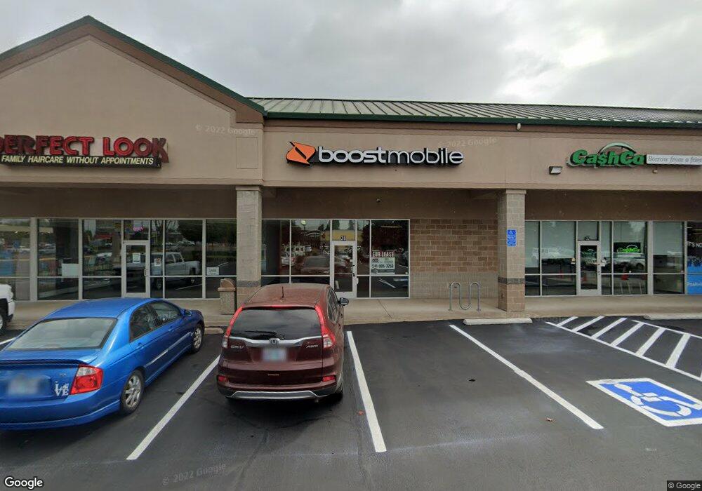
28 E Airport Rd Lebanon, OR 97355
Estimated Value: $294,000
--
Bed
--
Bath
15,966
Sq Ft
$18/Sq Ft
Est. Value
About This Home
This home is located at 28 E Airport Rd, Lebanon, OR 97355 and is currently priced at $294,000, approximately $18 per square foot. 28 E Airport Rd is a home located in Linn County with nearby schools including Riverview School, Seven Oak Middle School, and Lebanon High School.
Ownership History
Date
Name
Owned For
Owner Type
Purchase Details
Closed on
Apr 25, 2023
Sold by
Grugett Albert Martin
Bought by
Mcintosh Family Trust
Current Estimated Value
Purchase Details
Closed on
May 26, 2005
Sold by
Truttman Paul A and Truttman Marguerite I
Bought by
Lebanon Retail Center Llc
Purchase Details
Closed on
Jun 29, 2004
Sold by
Miller Development Co Llc
Bought by
Lebanon Retail Center Llc
Home Financials for this Owner
Home Financials are based on the most recent Mortgage that was taken out on this home.
Original Mortgage
$1,848,750
Interest Rate
6.27%
Mortgage Type
Purchase Money Mortgage
Create a Home Valuation Report for This Property
The Home Valuation Report is an in-depth analysis detailing your home's value as well as a comparison with similar homes in the area
Home Values in the Area
Average Home Value in this Area
Purchase History
| Date | Buyer | Sale Price | Title Company |
|---|---|---|---|
| Mcintosh Family Trust | $200,000 | Ticor Title | |
| Lebanon Retail Center Llc | -- | First American | |
| Lebanon Retail Center Llc | $2,630,000 | First American Title | |
| Miller Development Co Llc | -- | First American Title |
Source: Public Records
Mortgage History
| Date | Status | Borrower | Loan Amount |
|---|---|---|---|
| Previous Owner | Miller Development Co Llc | $1,848,750 |
Source: Public Records
Tax History Compared to Growth
Tax History
| Year | Tax Paid | Tax Assessment Tax Assessment Total Assessment is a certain percentage of the fair market value that is determined by local assessors to be the total taxable value of land and additions on the property. | Land | Improvement |
|---|---|---|---|---|
| 2025 | $44,450 | $2,106,870 | -- | -- |
| 2024 | $42,986 | $2,045,510 | -- | -- |
| 2023 | $41,596 | $1,985,940 | $0 | $0 |
| 2022 | $37,921 | $1,795,500 | $0 | $0 |
| 2021 | $36,566 | $1,743,210 | $0 | $0 |
| 2020 | $36,116 | $1,692,440 | $0 | $0 |
| 2019 | $34,313 | $1,643,150 | $0 | $0 |
| 2018 | $34,046 | $1,595,300 | $0 | $0 |
| 2017 | $33,243 | $1,548,840 | $0 | $0 |
| 2016 | $32,235 | $1,503,730 | $0 | $0 |
| 2015 | $31,397 | $1,459,940 | $0 | $0 |
| 2014 | $30,877 | $1,417,420 | $0 | $0 |
Source: Public Records
Map
Nearby Homes
- 2101 Primrose St
- 2187 Mill St
- 24 E Pine St
- 2464 Primrose St
- 300 Water's Edge Ct
- 1800 S 2nd St
- 357 Water's Edge Ct
- 1671 Cooper St
- 1661 Cooper St
- 371 Lydia Ln
- 372 Jennings St
- 301 Russell St
- 372 Berry St
- 2100 Park Dr
- 1400 Grove St
- 2645 Birch St
- 270 Hobbs St
- 2796 S Main (#26) Rd Unit 26
- 0 S Santiam (Lot Unit 102) Hwy
- 2796 S Main Rd Unit 15
- 36 E Airport Rd
- 36 E Airport Rd
- 40 E Airport Rd
- 48 E Airport Rd
- 52 E Airport Rd
- 52 E Airport Rd
- 52 E Airport Rd
- 2201 Airport Rd
- 36 E Airport (-40) Rd
- 200 E Airport Rd
- 2070 Mill St
- 305 Russell Dr
- 2090 Mill St
- 2110 Mill St
- 2130 Mill St
- 0 S Airport Rd
- 0 S Airport Rd Unit 23244603
- 0 S Airport Rd Unit 14037760
- 0 S Airport Rd Unit 16449661
- 0 S Airport Rd Unit 301 17145079