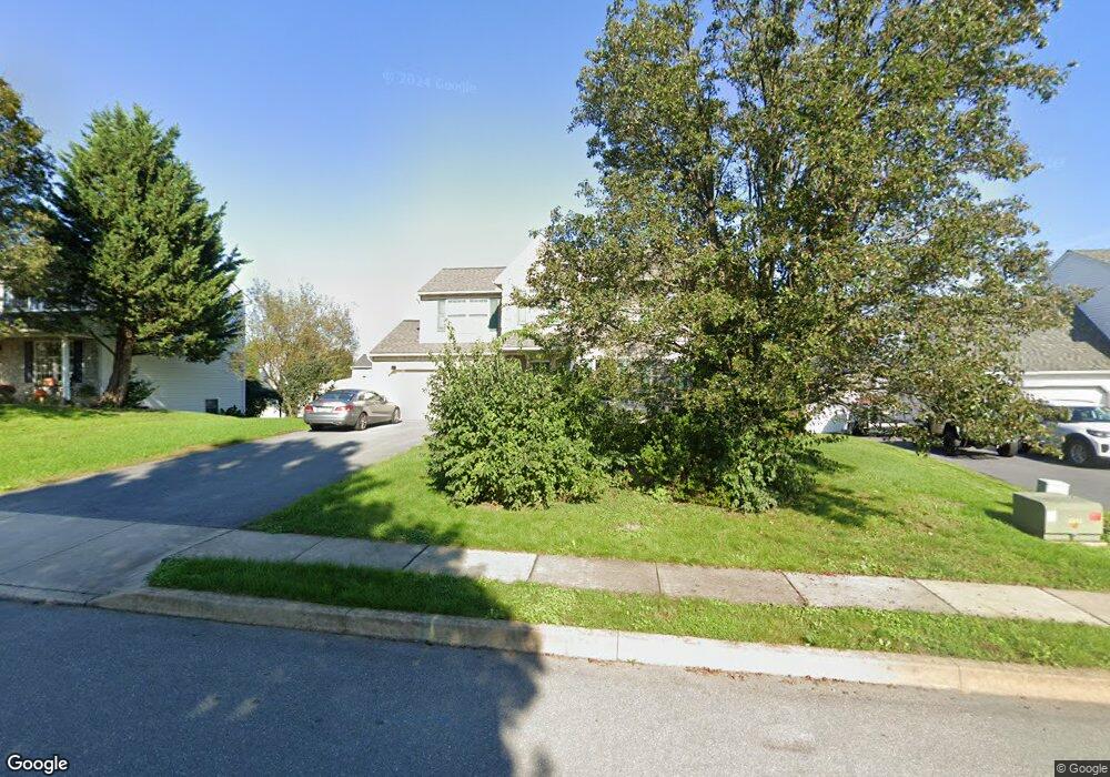
28 E Grant St Lititz, PA 17543
Estimated Value: $425,288 - $494,000
4
Beds
3
Baths
1,586
Sq Ft
$290/Sq Ft
Est. Value
About This Home
This home is located at 28 E Grant St, Lititz, PA 17543 and is currently estimated at $460,072, approximately $290 per square foot. 28 E Grant St is a home located in Lancaster County with nearby schools including Warwick Senior High School, Lititz Christian School, and Linden Hall.
Ownership History
Date
Name
Owned For
Owner Type
Purchase Details
Closed on
Dec 23, 2009
Sold by
Smith Steven and Smith Jennifer L
Bought by
Smith Steven
Current Estimated Value
Purchase Details
Closed on
Jan 23, 2001
Sold by
Sylvan Crossing Associates Inc and Burski Ann L
Bought by
Smith Steven and Smith Jennifer L
Home Financials for this Owner
Home Financials are based on the most recent Mortgage that was taken out on this home.
Original Mortgage
$116,020
Outstanding Balance
$42,341
Interest Rate
7.39%
Estimated Equity
$417,731
Create a Home Valuation Report for This Property
The Home Valuation Report is an in-depth analysis detailing your home's value as well as a comparison with similar homes in the area
Home Values in the Area
Average Home Value in this Area
Purchase History
| Date | Buyer | Sale Price | Title Company |
|---|---|---|---|
| Smith Steven | -- | None Available | |
| Smith Steven | $145,025 | Lawyers Title Insurance Corp |
Source: Public Records
Mortgage History
| Date | Status | Borrower | Loan Amount |
|---|---|---|---|
| Open | Smith Steven | $116,020 |
Source: Public Records
Tax History
| Year | Tax Paid | Tax Assessment Tax Assessment Total Assessment is a certain percentage of the fair market value that is determined by local assessors to be the total taxable value of land and additions on the property. | Land | Improvement |
|---|---|---|---|---|
| 2025 | $4,417 | $225,300 | $67,700 | $157,600 |
| 2024 | $4,417 | $225,300 | $67,700 | $157,600 |
| 2023 | $4,397 | $225,300 | $67,700 | $157,600 |
| 2022 | $4,397 | $225,300 | $67,700 | $157,600 |
| 2021 | $4,397 | $225,300 | $67,700 | $157,600 |
| 2020 | $4,397 | $225,300 | $67,700 | $157,600 |
| 2019 | $4,397 | $225,300 | $67,700 | $157,600 |
| 2018 | $3,688 | $225,300 | $67,700 | $157,600 |
| 2017 | $4,107 | $165,900 | $43,600 | $122,300 |
| 2016 | $4,107 | $165,900 | $43,600 | $122,300 |
| 2015 | $665 | $165,900 | $43,600 | $122,300 |
| 2014 | $3,270 | $165,900 | $43,600 | $122,300 |
Source: Public Records
Map
Nearby Homes
- 1500 Furnace Hills Pike
- 16 E Market St
- 146 N Cedar St
- 3 Amberly Way
- 48 N Broad St Unit 205
- LOT 14 Thaton Rd
- LOT 12 Thaton Rd
- 44 Duffield Dr
- 213 N Locust St
- 112 Chukar Ct
- 119 Saybrooke Dr
- 138 Moorland Ct
- 24 E Orange St
- 133 S Spruce St
- 147 S Spruce St
- 601 E Main St
- 33 Tara Dr
- 113 Cameron Ln
- 50 E 2nd Ave
- 146 S Oak St
Your Personal Tour Guide
Ask me questions while you tour the home.