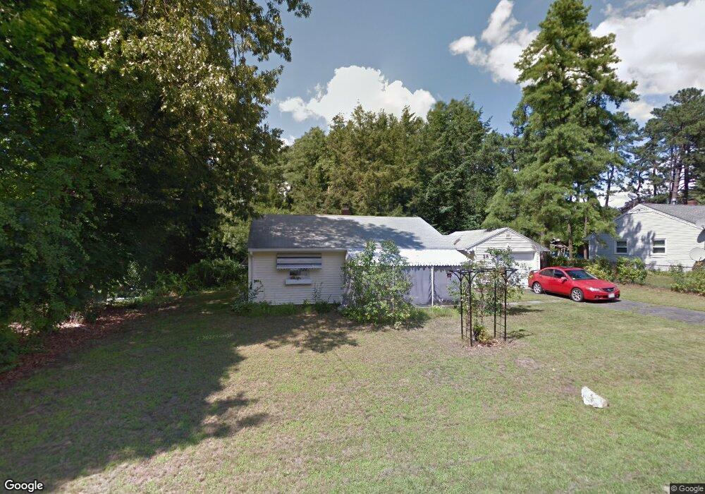
28 Emerald Rd Springfield, MA 01119
Sixteen Acres NeighborhoodEstimated Value: $232,000 - $294,000
2
Beds
1
Bath
932
Sq Ft
$295/Sq Ft
Est. Value
About This Home
This home is located at 28 Emerald Rd, Springfield, MA 01119 and is currently estimated at $274,624, approximately $294 per square foot. 28 Emerald Rd is a home located in Hampden County with nearby schools including Frank H. Freedman School, John J Duggan Middle, and Springfield High School of Science and Technology.
Ownership History
Date
Name
Owned For
Owner Type
Purchase Details
Closed on
Jul 1, 2011
Sold by
Baker William G and Baker Joan H
Bought by
Dawson Georgette F
Current Estimated Value
Home Financials for this Owner
Home Financials are based on the most recent Mortgage that was taken out on this home.
Original Mortgage
$109,647
Outstanding Balance
$75,398
Interest Rate
4.5%
Mortgage Type
FHA
Estimated Equity
$199,226
Purchase Details
Closed on
Sep 26, 2008
Sold by
Mary E Mcmahon T and Mcmahon Robert P
Bought by
Baker William Gerald
Home Financials for this Owner
Home Financials are based on the most recent Mortgage that was taken out on this home.
Original Mortgage
$95,000
Interest Rate
6.57%
Mortgage Type
Purchase Money Mortgage
Create a Home Valuation Report for This Property
The Home Valuation Report is an in-depth analysis detailing your home's value as well as a comparison with similar homes in the area
Home Values in the Area
Average Home Value in this Area
Purchase History
| Date | Buyer | Sale Price | Title Company |
|---|---|---|---|
| Dawson Georgette F | $112,500 | -- | |
| Baker William Gerald | $100,000 | -- |
Source: Public Records
Mortgage History
| Date | Status | Borrower | Loan Amount |
|---|---|---|---|
| Open | Dawson Georgette F | $109,647 | |
| Previous Owner | Baker William Gerald | $95,000 |
Source: Public Records
Tax History
| Year | Tax Paid | Tax Assessment Tax Assessment Total Assessment is a certain percentage of the fair market value that is determined by local assessors to be the total taxable value of land and additions on the property. | Land | Improvement |
|---|---|---|---|---|
| 2025 | $3,265 | $208,200 | $54,000 | $154,200 |
| 2024 | $3,069 | $191,100 | $54,000 | $137,100 |
| 2023 | $2,612 | $153,200 | $51,400 | $101,800 |
| 2022 | $2,817 | $149,700 | $51,400 | $98,300 |
| 2021 | $2,472 | $130,800 | $46,800 | $84,000 |
| 2020 | $2,377 | $121,700 | $46,800 | $74,900 |
| 2019 | $2,228 | $113,200 | $46,800 | $66,400 |
| 2018 | $2,279 | $115,800 | $46,800 | $69,000 |
| 2017 | $2,312 | $117,600 | $51,800 | $65,800 |
| 2016 | $2,165 | $110,100 | $51,800 | $58,300 |
| 2015 | $2,148 | $109,200 | $51,800 | $57,400 |
Source: Public Records
Map
Nearby Homes
Your Personal Tour Guide
Ask me questions while you tour the home.