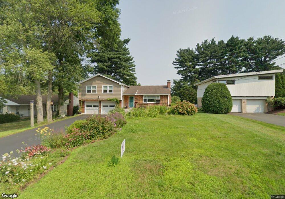
28 Farmstead Ln West Hartford, CT 06117
Estimated Value: $491,000 - $517,653
3
Beds
3
Baths
1,442
Sq Ft
$348/Sq Ft
Est. Value
About This Home
This home is located at 28 Farmstead Ln, West Hartford, CT 06117 and is currently estimated at $501,413, approximately $347 per square foot. 28 Farmstead Ln is a home located in Hartford County with nearby schools including Norfeldt School, King Philip Middle School, and Hall High School.
Ownership History
Date
Name
Owned For
Owner Type
Purchase Details
Closed on
Sep 15, 1997
Sold by
Savetz Helen
Bought by
Frankel Ethan D and Frankel Tracy T
Current Estimated Value
Home Financials for this Owner
Home Financials are based on the most recent Mortgage that was taken out on this home.
Original Mortgage
$113,600
Interest Rate
7.31%
Mortgage Type
Unknown
Create a Home Valuation Report for This Property
The Home Valuation Report is an in-depth analysis detailing your home's value as well as a comparison with similar homes in the area
Home Values in the Area
Average Home Value in this Area
Purchase History
| Date | Buyer | Sale Price | Title Company |
|---|---|---|---|
| Frankel Ethan D | $142,000 | -- |
Source: Public Records
Mortgage History
| Date | Status | Borrower | Loan Amount |
|---|---|---|---|
| Closed | Frankel Ethan D | $141,750 | |
| Closed | Frankel Ethan D | $100,000 | |
| Closed | Frankel Ethan D | $113,600 |
Source: Public Records
Tax History Compared to Growth
Tax History
| Year | Tax Paid | Tax Assessment Tax Assessment Total Assessment is a certain percentage of the fair market value that is determined by local assessors to be the total taxable value of land and additions on the property. | Land | Improvement |
|---|---|---|---|---|
| 2025 | $10,078 | $225,050 | $86,800 | $138,250 |
| 2024 | $9,531 | $225,050 | $86,800 | $138,250 |
| 2023 | $9,146 | $223,510 | $86,800 | $136,710 |
| 2022 | $9,092 | $223,510 | $86,800 | $136,710 |
| 2021 | $8,507 | $200,550 | $83,440 | $117,110 |
| 2020 | $7,944 | $190,050 | $75,950 | $114,100 |
| 2019 | $7,944 | $190,050 | $75,950 | $114,100 |
| 2018 | $7,792 | $190,050 | $75,950 | $114,100 |
| 2017 | $7,800 | $190,050 | $75,950 | $114,100 |
| 2016 | $7,064 | $178,780 | $64,260 | $114,520 |
| 2015 | $6,849 | $178,780 | $64,260 | $114,520 |
| 2014 | $6,681 | $178,780 | $64,260 | $114,520 |
Source: Public Records
Map
Nearby Homes
- 30 Farmstead Ln
- 2581 Albany Ave
- 53 Whitehill Dr
- 62 Blue Ridge Ln
- 35 W Ridge Dr
- 51 Sky View Dr Unit 4
- 5 Coolidge Rd
- 2645 Albany Ave
- 1 King Philip Dr Unit 207
- 139 Mohawk Dr
- 21 Barksdale Rd
- 8 Tanglewood Rd
- 223 N Main St
- 592 Mountain Rd Unit A
- 94 Richmond Ln
- 6 Old Oak Rd
- 11 Lawler Rd
- 138 Mohegan Dr
- 729 Mountain Rd
- 7 Sequin Rd
- 24 Farmstead Ln
- 20 Farmstead Ln
- 44 Farmstead Ln
- 31 Overhill Rd
- 27 Overhill Rd
- 27 Farmstead Ln
- 14 Farmstead Ln
- 25 Farmstead Ln
- 29 Farmstead Ln
- 25 Overhill Rd
- 39 Farmstead Ln
- 37 Farmstead Ln
- 43 Farmstead Ln
- 21 Farmstead Ln
- 35 Farmstead Ln
- 31 Farmstead Ln
- 45 Farmstead Ln
- 21 Overhill Rd
- 33 Farmstead Ln
- 19 Farmstead Ln