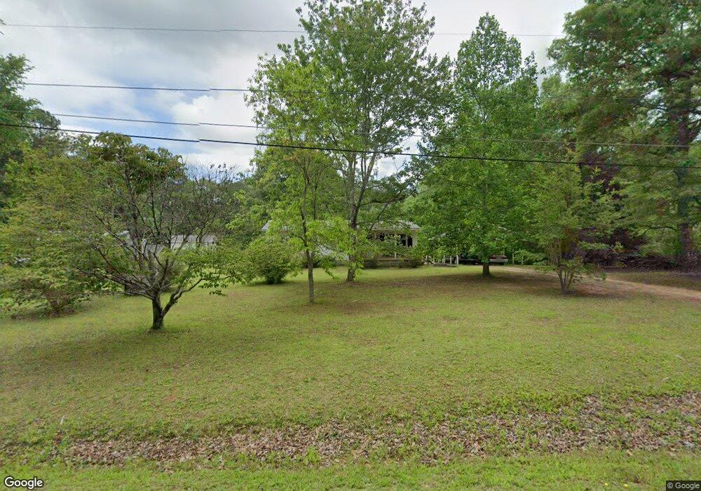
28 Farr Rd Griffin, GA 30223
Spalding County NeighborhoodEstimated Value: $132,380 - $206,000
3
Beds
1
Bath
1,056
Sq Ft
$159/Sq Ft
Est. Value
About This Home
This home is located at 28 Farr Rd, Griffin, GA 30223 and is currently estimated at $168,345, approximately $159 per square foot. 28 Farr Rd is a home located in Spalding County with nearby schools including Orrs Elementary School, Carver Road Middle School, and Griffin High School.
Ownership History
Date
Name
Owned For
Owner Type
Purchase Details
Closed on
Dec 26, 2019
Sold by
Holt Kiffen Estate
Bought by
Holt Ruthanna Louise Clark and Martin Diane H
Current Estimated Value
Purchase Details
Closed on
Sep 9, 1977
Sold by
Reeves George D
Bought by
Holt Kiffen and Holt Ruth L
Purchase Details
Closed on
Feb 24, 1977
Sold by
Evans Products Co
Bought by
Reeves George D
Purchase Details
Closed on
Jan 27, 1977
Sold by
White Roy
Bought by
Evans Products Co
Purchase Details
Closed on
Dec 1, 1972
Sold by
Elder David P
Bought by
White Roy
Purchase Details
Closed on
Sep 4, 1971
Sold by
Presley Kenneth E
Bought by
Elder David
Create a Home Valuation Report for This Property
The Home Valuation Report is an in-depth analysis detailing your home's value as well as a comparison with similar homes in the area
Home Values in the Area
Average Home Value in this Area
Purchase History
| Date | Buyer | Sale Price | Title Company |
|---|---|---|---|
| Holt Ruthanna Louise Clark | -- | -- | |
| Holt Kiffen | $8,600 | -- | |
| Reeves George D | $5,000 | -- | |
| Evans Products Co | -- | -- | |
| White Roy | $1,500 | -- | |
| Elder David | $11,300 | -- |
Source: Public Records
Tax History Compared to Growth
Tax History
| Year | Tax Paid | Tax Assessment Tax Assessment Total Assessment is a certain percentage of the fair market value that is determined by local assessors to be the total taxable value of land and additions on the property. | Land | Improvement |
|---|---|---|---|---|
| 2024 | $349 | $26,497 | $7,200 | $19,297 |
| 2023 | $349 | $26,497 | $7,200 | $19,297 |
| 2022 | $299 | $23,411 | $6,000 | $17,411 |
| 2021 | $256 | $21,284 | $6,000 | $15,284 |
| 2020 | $259 | $21,284 | $6,000 | $15,284 |
| 2019 | $263 | $21,284 | $6,000 | $15,284 |
| 2018 | $237 | $19,952 | $6,000 | $13,952 |
| 2017 | $225 | $19,952 | $6,000 | $13,952 |
| 2016 | $228 | $19,952 | $6,000 | $13,952 |
| 2015 | $243 | $19,952 | $6,000 | $13,952 |
| 2014 | $243 | $19,952 | $6,000 | $13,952 |
Source: Public Records
Map
Nearby Homes
- 4101 W Ellis Rd
- 5555 W Mcintosh Rd
- 184 Quail Rd
- 395 W Mcintosh Rd
- 5092 W Mcintosh Rd
- 3 ACRES Anderson Rd
- 160 Carrington Ln
- 275 Lakeview Dr
- 350 Lakeview Dr
- 130 Brooklet Way
- 0 W Mcintosh Rd Unit 10527676
- 40 Anderson Rd
- 230 Vaughn Rd
- 135 Vaughn Rd
- 190 Gable Rd
- 423 Mask Rd
- 0 Mask and Lynch Rd Unit 10611467
- 0 Price Rd Unit LOT 2
- 0 Price Rd Unit LOT 1
- 531 Grant Rd
- 20 Farr Rd
- 44 Farr St
- 44 Farr Rd
- 0 Farr St Unit 8652108
- 0 Farr St Unit 8089276
- 12 Farr Rd
- 4398 W Ellis Rd
- 52 Farr Rd
- 4400 W Ellis Rd
- 160 Parker Rd
- 4404 W Ellis Rd
- 4436 W Ellis Rd
- 122 Parker Rd
- 4434 W Ellis Rd
- 4382 W Ellis Rd
- 4382 W Ellis Rd
- 4370 W Ellis Rd
- 0 Parker Rd Unit 8222416
- 0 Parker Rd Unit 7096574
- 0 Parker Rd Unit 8796492