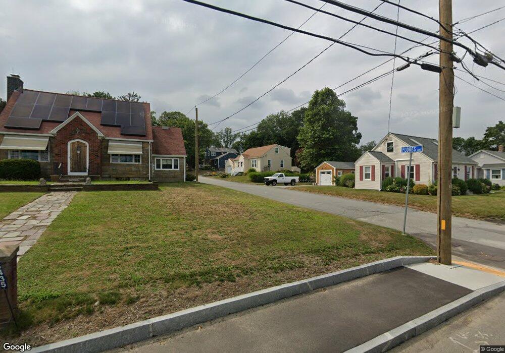
28 Flores Ave Somerset, MA 02726
Pottersville NeighborhoodEstimated Value: $516,007 - $557,000
4
Beds
2
Baths
1,734
Sq Ft
$305/Sq Ft
Est. Value
About This Home
This home is located at 28 Flores Ave, Somerset, MA 02726 and is currently estimated at $529,502, approximately $305 per square foot. 28 Flores Ave is a home located in Bristol County with nearby schools including North Elementary School, Somerset Middle School, and St. Michael's School.
Ownership History
Date
Name
Owned For
Owner Type
Purchase Details
Closed on
Apr 1, 2016
Sold by
Goodreau Barbara C
Bought by
Cherenzia Robin L and Goodreau Gregory L
Current Estimated Value
Purchase Details
Closed on
Nov 15, 2013
Sold by
Goodreau William L and Goodreau Barbara C
Bought by
Goodreau Barbara C
Purchase Details
Closed on
Jun 22, 1976
Bought by
Cherenzia Robin L and Goodreau Gregory L
Create a Home Valuation Report for This Property
The Home Valuation Report is an in-depth analysis detailing your home's value as well as a comparison with similar homes in the area
Home Values in the Area
Average Home Value in this Area
Purchase History
| Date | Buyer | Sale Price | Title Company |
|---|---|---|---|
| Cherenzia Robin L | -- | -- | |
| Cherenzia Robin L | -- | -- | |
| Goodreau Barbara C | -- | -- | |
| Goodreau Barbara C | -- | -- | |
| Cherenzia Robin L | -- | -- |
Source: Public Records
Mortgage History
| Date | Status | Borrower | Loan Amount |
|---|---|---|---|
| Previous Owner | Cherenzia Robin L | $100,000 | |
| Previous Owner | Cherenzia Robin L | $60,000 |
Source: Public Records
Tax History Compared to Growth
Tax History
| Year | Tax Paid | Tax Assessment Tax Assessment Total Assessment is a certain percentage of the fair market value that is determined by local assessors to be the total taxable value of land and additions on the property. | Land | Improvement |
|---|---|---|---|---|
| 2025 | $5,743 | $431,800 | $183,600 | $248,200 |
| 2024 | $5,401 | $422,300 | $183,600 | $238,700 |
| 2023 | $4,825 | $380,500 | $166,700 | $213,800 |
| 2022 | $4,456 | $335,300 | $143,900 | $191,400 |
| 2021 | $4,489 | $305,800 | $130,100 | $175,700 |
| 2020 | $4,357 | $286,300 | $130,100 | $156,200 |
| 2019 | $4,940 | $270,700 | $130,100 | $140,600 |
| 2018 | $4,335 | $255,600 | $125,300 | $130,300 |
| 2017 | $4,334 | $249,100 | $125,300 | $123,800 |
| 2016 | $4,362 | $249,100 | $125,300 | $123,800 |
| 2015 | $3,836 | $221,100 | $106,700 | $114,400 |
| 2014 | $5,086 | $210,600 | $103,600 | $107,000 |
Source: Public Records
Map
Nearby Homes
- 138 Bourn Ave
- 224 Chace St
- 190 Gibbs St
- 2546 County St
- 2714 Riverside Ave
- 34 Barry Ave
- 50 Pratt Ave
- 3896 N Main St
- 95 Brookside Rd
- 604 Lafayette St
- 64 Midland Rd
- 4700 N Main St Unit 3E
- 112 Rounseville Ave
- 50 Clark St Unit 19
- 239 Maple St
- 601 Eastview Ave
- 562 Main St
- 0 Palmer St
- 3063 N Main St
- 701 Prospect St
- 3455 Riverside Ave
- 3467 Riverside Ave
- 3435 Riverside Ave
- 52 Flores Ave
- 3423 Riverside Ave
- 51 Flores Ave
- 3495 Riverside Ave
- 3409 Riverside Ave
- 3470 Riverside Ave
- 70 Flores Ave
- 69 Flores Ave
- 3515 Riverside Ave
- 96 Flores Ave
- 3401 Riverside Ave
- 97 Flores Ave
- 65 Cusick Ln
- 112 Flores Ave
- 76 Donald Ave
- 3377 Riverside Ave
- 3527 Riverside Ave