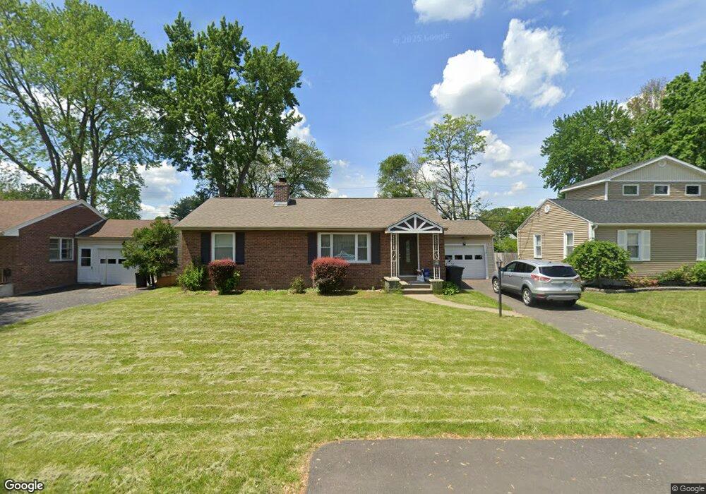
28 Forest Dr Albany, NY 12205
Estimated Value: $337,452 - $393,000
3
Beds
2
Baths
1,274
Sq Ft
$286/Sq Ft
Est. Value
About This Home
This home is located at 28 Forest Dr, Albany, NY 12205 and is currently estimated at $364,113, approximately $285 per square foot. 28 Forest Dr is a home located in Albany County with nearby schools including Forest Park Elementary School, Sand Creek Middle School, and Colonie Central High School.
Ownership History
Date
Name
Owned For
Owner Type
Purchase Details
Closed on
Mar 25, 2015
Sold by
Richter Construction Llc and Kolnick Stephen
Bought by
Galloway Mary M
Current Estimated Value
Home Financials for this Owner
Home Financials are based on the most recent Mortgage that was taken out on this home.
Original Mortgage
$188,910
Outstanding Balance
$145,059
Interest Rate
3.75%
Estimated Equity
$219,054
Purchase Details
Closed on
Nov 26, 2014
Sold by
Thornton Timothy B
Bought by
Richter Construction Llc and Kolnick Stephen
Purchase Details
Closed on
Jan 27, 2006
Create a Home Valuation Report for This Property
The Home Valuation Report is an in-depth analysis detailing your home's value as well as a comparison with similar homes in the area
Home Values in the Area
Average Home Value in this Area
Purchase History
| Date | Buyer | Sale Price | Title Company |
|---|---|---|---|
| Galloway Mary M | $210,000 | Chicago Title Insurance Co | |
| Richter Construction Llc | $68,000 | None Available | |
| -- | -- | -- |
Source: Public Records
Mortgage History
| Date | Status | Borrower | Loan Amount |
|---|---|---|---|
| Open | Galloway Mary M | $188,910 |
Source: Public Records
Tax History Compared to Growth
Tax History
| Year | Tax Paid | Tax Assessment Tax Assessment Total Assessment is a certain percentage of the fair market value that is determined by local assessors to be the total taxable value of land and additions on the property. | Land | Improvement |
|---|---|---|---|---|
| 2024 | $4,067 | $101,200 | $20,200 | $81,000 |
| 2023 | $3,954 | $101,200 | $20,200 | $81,000 |
| 2022 | $3,919 | $101,200 | $20,200 | $81,000 |
| 2021 | $3,860 | $101,200 | $20,200 | $81,000 |
| 2020 | $3,802 | $101,200 | $20,200 | $81,000 |
| 2019 | $2,275 | $101,200 | $20,200 | $81,000 |
| 2018 | $3,702 | $101,200 | $20,200 | $81,000 |
| 2017 | $0 | $101,200 | $20,200 | $81,000 |
| 2016 | $3,673 | $101,200 | $20,200 | $81,000 |
| 2015 | -- | $101,200 | $20,200 | $81,000 |
| 2014 | -- | $51,200 | $20,200 | $31,000 |
Source: Public Records
Map
Nearby Homes
- 2 Delafield Dr
- 51 Mordella Rd
- 0 Forest Rd Unit KEY941422
- 21 Nicholas Dr
- 8 Allyson Ct
- 10 Kimberly St
- 1 Winston Place
- 15 Stirrup Dr
- 28 Red Fox Dr
- 28 Bridle Path
- 6 Barker St
- 9 Vics Ct
- 1 Thoroughbred Ln
- 1 Snaffle Ring
- 11 Rapple Dr
- 158 Lincoln Ave
- 21 Pinehurst Rd
- 61 Rapple Dr
- 3 Hackett Ave
- 7 Pinehurst Rd