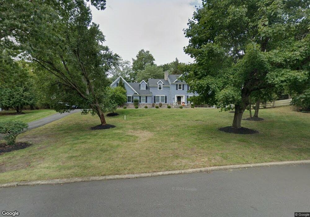
28 Georgetown Rd Colts Neck, NJ 07722
Estimated Value: $1,276,000 - $1,462,000
4
Beds
4
Baths
3,380
Sq Ft
$398/Sq Ft
Est. Value
About This Home
This home is located at 28 Georgetown Rd, Colts Neck, NJ 07722 and is currently estimated at $1,344,116, approximately $397 per square foot. 28 Georgetown Rd is a home located in Monmouth County with nearby schools including Conover Road School, Cedar Drive Middle School, and Colts Neck High School.
Ownership History
Date
Name
Owned For
Owner Type
Purchase Details
Closed on
Feb 3, 2009
Sold by
Ciccone Margaret L and Ciccone Frank F
Bought by
Mcgovern Brian and Mcgovern Carrie
Current Estimated Value
Home Financials for this Owner
Home Financials are based on the most recent Mortgage that was taken out on this home.
Original Mortgage
$250,000
Outstanding Balance
$158,874
Interest Rate
5.2%
Mortgage Type
Purchase Money Mortgage
Estimated Equity
$1,185,242
Create a Home Valuation Report for This Property
The Home Valuation Report is an in-depth analysis detailing your home's value as well as a comparison with similar homes in the area
Home Values in the Area
Average Home Value in this Area
Purchase History
| Date | Buyer | Sale Price | Title Company |
|---|---|---|---|
| Mcgovern Brian | $705,000 | Chicago Title Insurance Co |
Source: Public Records
Mortgage History
| Date | Status | Borrower | Loan Amount |
|---|---|---|---|
| Open | Mcgovern Brian | $250,000 |
Source: Public Records
Tax History Compared to Growth
Tax History
| Year | Tax Paid | Tax Assessment Tax Assessment Total Assessment is a certain percentage of the fair market value that is determined by local assessors to be the total taxable value of land and additions on the property. | Land | Improvement |
|---|---|---|---|---|
| 2025 | $14,007 | $1,152,200 | $510,800 | $641,400 |
| 2024 | $14,175 | $940,100 | $407,800 | $532,300 |
| 2023 | $14,175 | $911,000 | $407,800 | $503,200 |
| 2022 | $13,055 | $798,100 | $329,300 | $468,800 |
| 2021 | $13,055 | $747,700 | $304,300 | $443,400 |
| 2020 | $13,085 | $741,800 | $314,300 | $427,500 |
| 2019 | $12,972 | $736,600 | $314,300 | $422,300 |
| 2018 | $12,626 | $711,300 | $294,300 | $417,000 |
| 2017 | $12,312 | $696,000 | $284,300 | $411,700 |
| 2016 | $11,856 | $684,900 | $292,300 | $392,600 |
| 2015 | $11,742 | $676,800 | $294,300 | $382,500 |
| 2014 | $11,192 | $581,000 | $324,000 | $257,000 |
Source: Public Records
Map
Nearby Homes
- 12 Crest Dr
- 88 Clover Hill Rd
- 15 Windsor Place
- 20 Birch Ln
- 9 Mulberry Ln
- 39 Mountainside Dr
- 1158 State Route 34
- 3 Colts Gait Ln
- 5 Pleasant Valley Rd
- 784 State Route 34
- 145 Heulitt Rd
- 703 Quail Hill Rd
- 17 Woods End Rd
- 18 Egret Ln
- 10 Livingston Ct
- 202 Shore Ct
- 203 Shore Ct
- 680 - 21.04 County Road 520
- 680 - 21.1 County Road 520
- 680 - 21.21 County Road 520
- 9 Ridge Rd
- 32 Georgetown Rd
- 29 Georgetown Rd
- 5 Cambridge Ave
- 13 Ridge Rd
- 25 Georgetown Rd
- 33 Georgetown Rd
- 5 Provincial Place
- 1 Provincial Place
- 44 Maple Dr
- 4 Ridge Rd
- 8 Ridge Rd
- 21 Georgetown Rd
- 9 Provincial Place
- 48 Maple Dr
- 40 Maple Dr
- 4 Cambridge Ave
- 12 Ridge Rd
- 8 Cambridge Ave
- 13 Provincial Place