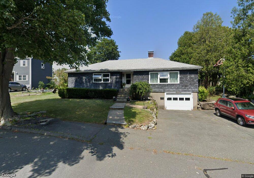
28 Haley Rd Marblehead, MA 01945
Estimated Value: $901,000 - $1,036,000
3
Beds
2
Baths
2,176
Sq Ft
$433/Sq Ft
Est. Value
About This Home
This home is located at 28 Haley Rd, Marblehead, MA 01945 and is currently estimated at $941,128, approximately $432 per square foot. 28 Haley Rd is a home located in Essex County with nearby schools including Marblehead High School, Marblehead Community Charter Public School, and Tower School.
Ownership History
Date
Name
Owned For
Owner Type
Purchase Details
Closed on
Jun 19, 2015
Sold by
Hah Rt and Mclean
Bought by
Haskell David M and Haskell Marcia E
Current Estimated Value
Purchase Details
Closed on
Feb 5, 2013
Sold by
Mclean Deborah and Mclean Robert S
Bought by
Hah Rt and Mclean
Purchase Details
Closed on
Jan 29, 2013
Sold by
Hah Rt and Mclean
Bought by
Mclean Deborah and Mclean Robert S
Purchase Details
Closed on
May 9, 1997
Sold by
Haskell Herbert A
Bought by
Mclean Deborah
Home Financials for this Owner
Home Financials are based on the most recent Mortgage that was taken out on this home.
Original Mortgage
$65,000
Interest Rate
7.88%
Mortgage Type
Purchase Money Mortgage
Create a Home Valuation Report for This Property
The Home Valuation Report is an in-depth analysis detailing your home's value as well as a comparison with similar homes in the area
Home Values in the Area
Average Home Value in this Area
Purchase History
| Date | Buyer | Sale Price | Title Company |
|---|---|---|---|
| Haskell David M | $400,000 | -- | |
| Hah Rt | -- | -- | |
| Hah Rt | -- | -- | |
| Mclean Deborah | -- | -- | |
| Mclean Deborah | -- | -- | |
| Mclean Deborah | $215,000 | -- | |
| Mclean Deborah | $215,000 | -- | |
| Mclean Deborah | $215,000 | -- |
Source: Public Records
Mortgage History
| Date | Status | Borrower | Loan Amount |
|---|---|---|---|
| Previous Owner | Mclean Deborah | $65,000 | |
| Closed | Haskell David M | $0 |
Source: Public Records
Tax History Compared to Growth
Tax History
| Year | Tax Paid | Tax Assessment Tax Assessment Total Assessment is a certain percentage of the fair market value that is determined by local assessors to be the total taxable value of land and additions on the property. | Land | Improvement |
|---|---|---|---|---|
| 2025 | $7,633 | $843,400 | $595,400 | $248,000 |
| 2024 | $6,484 | $723,700 | $569,000 | $154,700 |
| 2023 | $6,950 | $695,000 | $542,500 | $152,500 |
| 2022 | $6,399 | $608,300 | $443,300 | $165,000 |
| 2021 | $6,150 | $590,200 | $423,400 | $166,800 |
| 2020 | $5,643 | $543,100 | $423,400 | $119,700 |
| 2019 | $5,407 | $503,400 | $383,700 | $119,700 |
| 2018 | $5,255 | $476,900 | $357,200 | $119,700 |
| 2017 | $4,815 | $437,300 | $317,600 | $119,700 |
| 2016 | $4,766 | $429,400 | $304,300 | $125,100 |
| 2015 | $4,734 | $427,300 | $291,100 | $136,200 |
| 2014 | -- | $383,600 | $251,400 | $132,200 |
Source: Public Records
Map
Nearby Homes
- 70 Maverick St
- 100 Village St
- 197A W Shore Dr Unit A
- 29 Village St Unit 1
- 12 Heritage Way Unit 12
- 6 Higgins Rd
- 215 W Shore Dr
- 155 Village St
- 66 Jersey St
- 41 Rowland St
- 87 Jersey St
- 282 Pleasant St
- 19 Linden St
- 10 Shepard St
- 24-26 Knight Ave
- 290 Washington St Unit 3
- 290 Washington St Unit 2
- 290 Washington St Unit 1
- 30 Amherst Rd
- 41 Atlantic Ave Unit 1