28 Hampshire Dr Wolcott, CT 06716
Estimated Value: $397,000 - $434,000
2
Beds
2
Baths
1,516
Sq Ft
$275/Sq Ft
Est. Value
About This Home
This home is located at 28 Hampshire Dr, Wolcott, CT 06716 and is currently estimated at $416,180, approximately $274 per square foot. 28 Hampshire Dr is a home located in New Haven County with nearby schools including Tyrrell Middle School and Wolcott High School.
Ownership History
Date
Name
Owned For
Owner Type
Purchase Details
Closed on
Jul 28, 2023
Sold by
Brown Terri M
Bought by
Addessio Nancy
Current Estimated Value
Purchase Details
Closed on
Dec 23, 2014
Sold by
Boucher Linda M
Bought by
Mcavoy Thomas J and Mcavoy Judith N
Purchase Details
Closed on
Oct 10, 2007
Sold by
Hampshire Glen Llc
Bought by
Cappella Linda M
Home Financials for this Owner
Home Financials are based on the most recent Mortgage that was taken out on this home.
Original Mortgage
$175,800
Interest Rate
6.49%
Mortgage Type
Purchase Money Mortgage
Create a Home Valuation Report for This Property
The Home Valuation Report is an in-depth analysis detailing your home's value as well as a comparison with similar homes in the area
Home Values in the Area
Average Home Value in this Area
Purchase History
| Date | Buyer | Sale Price | Title Company |
|---|---|---|---|
| Addessio Nancy | $370,000 | None Available | |
| Mcavoy Thomas J | -- | -- | |
| Cappella Linda M | $300,603 | -- |
Source: Public Records
Mortgage History
| Date | Status | Borrower | Loan Amount |
|---|---|---|---|
| Previous Owner | Cappella Linda M | $162,500 | |
| Previous Owner | Cappella Linda M | $175,800 |
Source: Public Records
Tax History Compared to Growth
Tax History
| Year | Tax Paid | Tax Assessment Tax Assessment Total Assessment is a certain percentage of the fair market value that is determined by local assessors to be the total taxable value of land and additions on the property. | Land | Improvement |
|---|---|---|---|---|
| 2025 | $7,219 | $200,930 | $0 | $200,930 |
| 2024 | $6,645 | $200,930 | $0 | $200,930 |
| 2023 | $6,404 | $200,930 | $0 | $200,930 |
| 2022 | $6,189 | $200,930 | $0 | $200,930 |
| 2021 | $6,284 | $189,620 | $0 | $189,620 |
| 2020 | $6,284 | $189,620 | $0 | $189,620 |
| 2019 | $6,284 | $189,620 | $0 | $189,620 |
| 2018 | $6,106 | $189,620 | $0 | $189,620 |
| 2017 | $5,929 | $189,620 | $0 | $189,620 |
| 2016 | $5,477 | $189,450 | $0 | $189,450 |
| 2015 | $5,320 | $189,450 | $0 | $189,450 |
| 2014 | $5,147 | $189,450 | $0 | $189,450 |
Source: Public Records
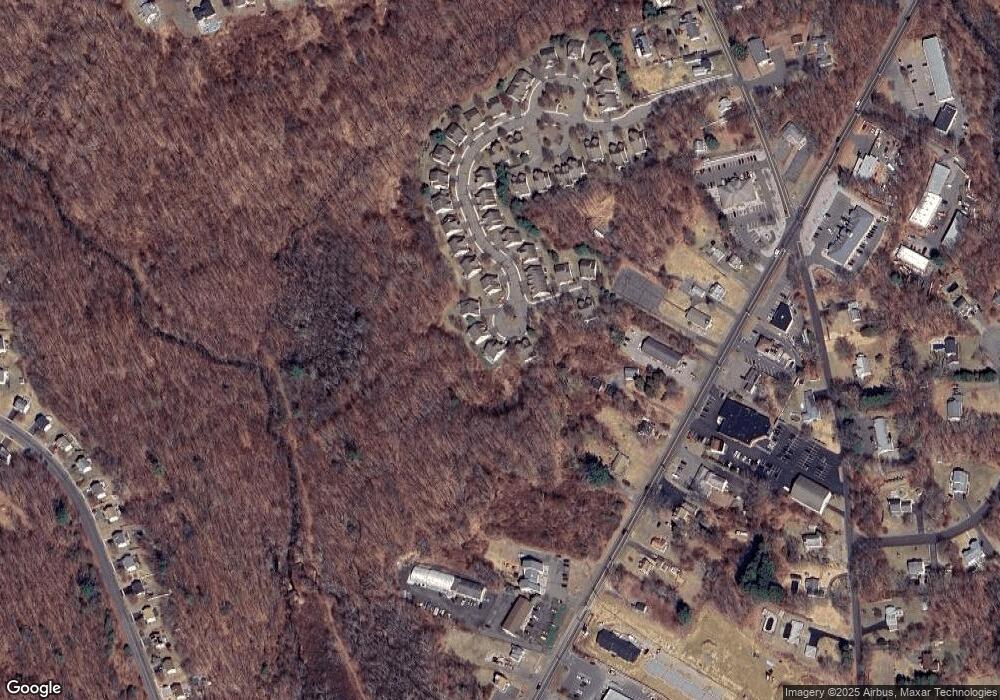
Map
Nearby Homes
- 210 Munson Rd Unit 2-G
- 210 Munson Rd Unit 2-F
- 210 Munson Rd Unit 2-E
- 210 Munson Rd Unit 2-D
- 210 Munson Rd Unit 2-C
- 210 Munson Rd Unit 2-B
- 210 Munson Rd Unit 2-A
- 210 Munson Rd Unit 2-H
- 210 Munson Rd Unit 3A
- 210 Munson Rd Unit 3C
- 210 Munson Rd Unit 3B
- 210 Munson Rd Unit 3D
- 124 Potuccos Ring Rd
- 7 Overvale Rd
- 160 Brooks Hill Rd
- 20 Wolf Hill Rd Unit 4D
- 128 Lyman Rd Unit 25
- 72 White Oak Ln
- 11 Ivy Ln
- 2 Red Fox Run
- 28 Hampshire Dr Unit 28
- 29 Hampshire Dr
- 27 Hampshire Dr
- 27 Hampshire Dr Unit 27
- 27 Hampshire Dr
- 3 Hampshire Dr
- 3 Hampshire Dr Unit 3
- 30 Hampshire Dr
- 23 Hampshire Dr
- 22 Hampshire Dr
- 31 Hampshire Dr
- 26 Hampshire Dr
- 24 Hampshire Dr
- 21 Hampshire Dr
- 21 Hampshire Dr Unit 21
- 32 Hampshire Dr
- 32 Hampshire Dr Unit 32
- 20 Hampshire Dr
- 20 Hampshire Dr Unit 20
- 25 Hampshire Dr