28 Hampshire Rd Wayland, MA 01778
Estimated Value: $1,056,000 - $1,360,000
4
Beds
3
Baths
2,349
Sq Ft
$512/Sq Ft
Est. Value
About This Home
This home is located at 28 Hampshire Rd, Wayland, MA 01778 and is currently estimated at $1,203,329, approximately $512 per square foot. 28 Hampshire Rd is a home located in Middlesex County with nearby schools including Wayland High School.
Create a Home Valuation Report for This Property
The Home Valuation Report is an in-depth analysis detailing your home's value as well as a comparison with similar homes in the area
Home Values in the Area
Average Home Value in this Area
Tax History Compared to Growth
Tax History
| Year | Tax Paid | Tax Assessment Tax Assessment Total Assessment is a certain percentage of the fair market value that is determined by local assessors to be the total taxable value of land and additions on the property. | Land | Improvement |
|---|---|---|---|---|
| 2025 | $15,361 | $982,800 | $654,400 | $328,400 |
| 2024 | $14,536 | $936,600 | $623,100 | $313,500 |
| 2023 | $13,829 | $830,600 | $566,700 | $263,900 |
| 2022 | $13,137 | $715,900 | $470,200 | $245,700 |
| 2021 | $12,477 | $673,700 | $428,000 | $245,700 |
| 2020 | $13,862 | $780,500 | $428,000 | $352,500 |
| 2019 | $13,425 | $734,400 | $408,000 | $326,400 |
| 2018 | $12,704 | $704,600 | $408,000 | $296,600 |
| 2017 | $12,382 | $682,600 | $395,400 | $287,200 |
| 2016 | $11,496 | $663,000 | $387,500 | $275,500 |
| 2015 | $11,805 | $641,900 | $387,500 | $254,400 |
Source: Public Records
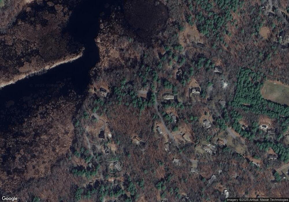
Map
Nearby Homes
- 11 Grove St
- 49 Birchwood Ln Unit 49
- 25 Birchwood Ln
- 134 Chestnut Cir
- 224 Aspen Cir
- Lot 5 Sailaway Ln
- Lot 4 Sailaway Ln
- 2 Betts Way
- 8 Mina Way
- 0 Elm Unit 73282184
- Lot 9 Sailaway Ln
- 4 Betts Way
- 122 Sand Gully Rd N Unit B
- 12 Pine Ridge Rd
- 941 Concord Rd
- 394 Plainfield Rd Unit 394
- 56 Rookery Ln Unit 4
- 24 Rookery Ln Unit 6
- 401 Emery Ln Unit 104
- Continental Plan at Rookery Lane at Concord