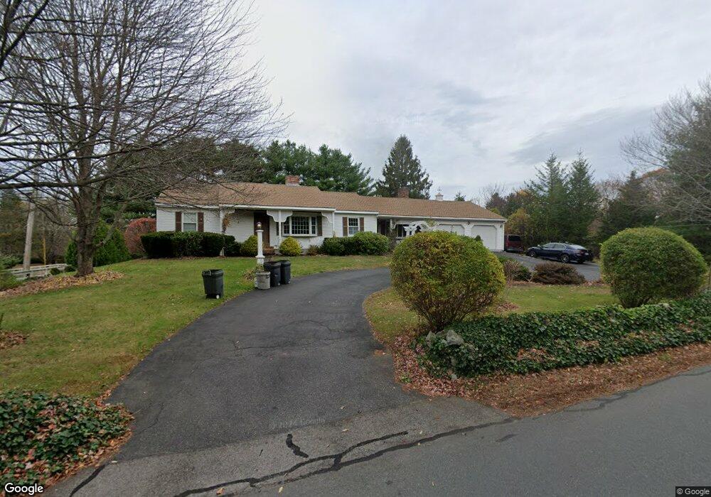
28 Hay St Newbury, MA 01951
Estimated Value: $870,000 - $938,000
2
Beds
3
Baths
1,696
Sq Ft
$529/Sq Ft
Est. Value
About This Home
This home is located at 28 Hay St, Newbury, MA 01951 and is currently estimated at $897,012, approximately $528 per square foot. 28 Hay St is a home located in Essex County with nearby schools including Triton Regional High School, River Valley Charter School, and Immaculate Conception School.
Ownership History
Date
Name
Owned For
Owner Type
Purchase Details
Closed on
Jan 31, 2020
Sold by
Crowe Garrett J and Crowe Wanda E
Bought by
28 Hay Street Rt
Current Estimated Value
Purchase Details
Closed on
Sep 30, 2010
Sold by
Gladu Donald F and Gladu Kathleen L
Bought by
Crowe Garrett J and Crowe Wanda E
Home Financials for this Owner
Home Financials are based on the most recent Mortgage that was taken out on this home.
Original Mortgage
$195,000
Interest Rate
4.44%
Mortgage Type
Purchase Money Mortgage
Create a Home Valuation Report for This Property
The Home Valuation Report is an in-depth analysis detailing your home's value as well as a comparison with similar homes in the area
Home Values in the Area
Average Home Value in this Area
Purchase History
| Date | Buyer | Sale Price | Title Company |
|---|---|---|---|
| 28 Hay Street Rt | -- | None Available | |
| 28 Hay Street Rt | -- | None Available | |
| 28 Hay Street Rt | -- | None Available | |
| Crowe Garrett J | $390,000 | -- | |
| Crowe Garrett J | $390,000 | -- |
Source: Public Records
Mortgage History
| Date | Status | Borrower | Loan Amount |
|---|---|---|---|
| Previous Owner | Crowe Garrett J | $195,000 | |
| Previous Owner | Crowe Garrett J | $100,000 | |
| Previous Owner | Crowe Garrett J | $150,000 |
Source: Public Records
Tax History Compared to Growth
Tax History
| Year | Tax Paid | Tax Assessment Tax Assessment Total Assessment is a certain percentage of the fair market value that is determined by local assessors to be the total taxable value of land and additions on the property. | Land | Improvement |
|---|---|---|---|---|
| 2025 | $6,224 | $835,500 | $406,200 | $429,300 |
| 2024 | $5,967 | $776,900 | $367,500 | $409,400 |
| 2023 | $5,195 | $599,200 | $270,800 | $328,400 |
| 2022 | $5,003 | $514,200 | $232,100 | $282,100 |
| 2021 | $4,971 | $466,300 | $193,400 | $272,900 |
| 2020 | $5,125 | $466,300 | $193,400 | $272,900 |
| 2019 | $5,041 | $466,300 | $193,400 | $272,900 |
| 2018 | $4,761 | $436,800 | $187,600 | $249,200 |
| 2017 | $4,533 | $427,200 | $187,600 | $239,600 |
| 2016 | $4,656 | $408,400 | $174,100 | $234,300 |
| 2015 | $4,245 | $368,500 | $135,400 | $233,100 |
| 2014 | $3,962 | $350,000 | $125,700 | $224,300 |
Source: Public Records
Map
Nearby Homes
- 100 High Rd
- 105 High Rd Unit Lot 2
- 144 High Rd
- 1 Littles Ln
- 4 Hanover St
- 182 High Rd
- 7 Pine Island Rd
- 1 Lancaster Rd
- 26 Beacon Ave
- 222 High Rd
- 24 Seaview Ln
- 239 High Rd
- 33 Union St
- 4 Goodwin Ave
- 17 Madison St
- 113 Prospect St Unit B
- 57 Lime St Unit 1
- 58 Lime St Unit 5
- 164 Water St Unit A
- 62 Middle Rd