28 Highwood Ln Ipswich, MA 01938
Estimated Value: $1,046,530 - $1,099,000
3
Beds
4
Baths
3,216
Sq Ft
$332/Sq Ft
Est. Value
About This Home
This home is located at 28 Highwood Ln, Ipswich, MA 01938 and is currently estimated at $1,067,383, approximately $331 per square foot. 28 Highwood Ln is a home located in Essex County with nearby schools including Ipswich High School and Clark School.
Ownership History
Date
Name
Owned For
Owner Type
Purchase Details
Closed on
Jun 4, 2004
Sold by
Collins Frank L and Collins Marylyn M
Bought by
Gibeley Alan and Gibeley Christina Maria
Current Estimated Value
Purchase Details
Closed on
Dec 10, 1996
Sold by
Pa T
Bought by
Hutchins Allen Dewit and Hutchins Sarah Anyder
Purchase Details
Closed on
Apr 10, 1996
Sold by
Pa T
Bought by
Hewitt Charles
Create a Home Valuation Report for This Property
The Home Valuation Report is an in-depth analysis detailing your home's value as well as a comparison with similar homes in the area
Home Values in the Area
Average Home Value in this Area
Purchase History
| Date | Buyer | Sale Price | Title Company |
|---|---|---|---|
| Gibeley Alan | $630,000 | -- | |
| Gibeley Alan | $630,000 | -- | |
| Hutchins Allen Dewit | $493,385 | -- | |
| Hutchins Allen Dewit | $493,385 | -- | |
| Hewitt Charles | $433,058 | -- | |
| Hewitt Charles | $433,058 | -- |
Source: Public Records
Mortgage History
| Date | Status | Borrower | Loan Amount |
|---|---|---|---|
| Open | Hewitt Charles | $649,949 | |
| Closed | Hewitt Charles | $99,999 |
Source: Public Records
Tax History Compared to Growth
Tax History
| Year | Tax Paid | Tax Assessment Tax Assessment Total Assessment is a certain percentage of the fair market value that is determined by local assessors to be the total taxable value of land and additions on the property. | Land | Improvement |
|---|---|---|---|---|
| 2025 | $9,414 | $844,300 | $333,500 | $510,800 |
| 2024 | $9,357 | $822,200 | $334,800 | $487,400 |
| 2023 | $9,723 | $795,000 | $237,300 | $557,700 |
| 2022 | $8,431 | $655,600 | $224,300 | $431,300 |
| 2021 | $8,470 | $640,700 | $211,300 | $429,400 |
| 2020 | $8,799 | $627,600 | $211,300 | $416,300 |
| 2019 | $8,980 | $637,300 | $221,000 | $416,300 |
| 2018 | $8,721 | $612,400 | $204,800 | $407,600 |
| 2017 | $8,916 | $628,300 | $185,300 | $443,000 |
| 2016 | $7,940 | $534,700 | $149,500 | $385,200 |
| 2015 | $7,424 | $549,500 | $136,500 | $413,000 |
Source: Public Records
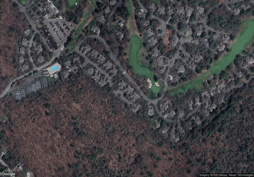
Map
Nearby Homes
- 196 Country Club Way
- 1 Court Ln
- 75 Country Club Way
- 8 Longmeadow Dr Unit 14
- 47 Prospect St
- 16 Cedarwood Ln
- 4 Sheppards Way
- 147 Linebrook Rd
- 78 Wethersfield St
- 45 Pineswamp Rd
- 21 Hammond St
- 46 Buttonwood
- 98 Linebrook Rd
- 79 Spencer Knowles Rd
- 480 Newburyport Turnpike
- 29 Charlotte Rd
- 460 - 472 Newburyport Turnpike
- 64 Linebrook Rd
- 76-78 Daniels Rd
- 125 Topsfield Rd
- 26 Highwood Ln
- 30 Highwood Ln
- 24 Highwood Ln
- 34 Highwood Ln
- 20 Highwood Ln
- 36 Highwood Ln
- 38 Highwood Ln
- 18 Highwood Ln
- 19 Highwood Ln
- 16 Highwood Ln
- 17 Highwood Ln
- 14 Highwood Ln
- 175 Country Club Way
- 15 Highwood Ln
- 13 Highwood Ln
- 190 Country Club Way
- 10 Highwood Ln
- 2 Southpoint Ln
- 11 Highwood Ln
- 5 Southpoint Ln