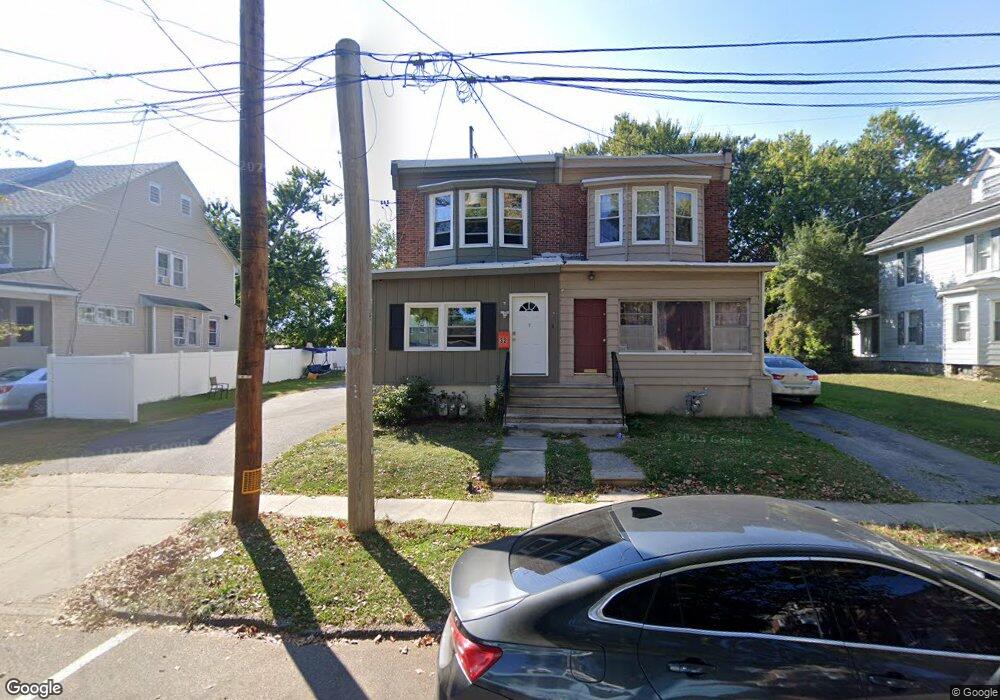
28 Hirst Ave Lansdowne, PA 19050
Estimated Value: $167,000 - $231,281
3
Beds
1
Bath
1,237
Sq Ft
$166/Sq Ft
Est. Value
About This Home
This home is located at 28 Hirst Ave, Lansdowne, PA 19050 and is currently estimated at $205,320, approximately $165 per square foot. 28 Hirst Ave is a home located in Delaware County with nearby schools including East Lansdowne Elementary School, Penn Wood Middle School, and Penn Wood High School - Cypress Street Campus.
Ownership History
Date
Name
Owned For
Owner Type
Purchase Details
Closed on
Jun 3, 2013
Sold by
Foster William F and Foster Maureen
Bought by
Homary Mohamad Z and Dehyar Zohra
Current Estimated Value
Purchase Details
Closed on
Jan 19, 2006
Sold by
Foster William F
Bought by
Foster William F and Foster Maureen
Purchase Details
Closed on
Mar 11, 2003
Sold by
Foster Catherine V and Foster William F
Bought by
Foster William F
Create a Home Valuation Report for This Property
The Home Valuation Report is an in-depth analysis detailing your home's value as well as a comparison with similar homes in the area
Home Values in the Area
Average Home Value in this Area
Purchase History
| Date | Buyer | Sale Price | Title Company |
|---|---|---|---|
| Homary Mohamad Z | $40,000 | None Available | |
| Foster William F | -- | None Available | |
| Foster William F | -- | None Available | |
| Foster William F | -- | -- |
Source: Public Records
Tax History Compared to Growth
Tax History
| Year | Tax Paid | Tax Assessment Tax Assessment Total Assessment is a certain percentage of the fair market value that is determined by local assessors to be the total taxable value of land and additions on the property. | Land | Improvement |
|---|---|---|---|---|
| 2025 | $4,643 | $108,670 | $46,200 | $62,470 |
| 2024 | $4,643 | $108,670 | $46,200 | $62,470 |
| 2023 | $3,472 | $108,670 | $46,200 | $62,470 |
| 2022 | $4,188 | $108,670 | $46,200 | $62,470 |
| 2021 | $6,244 | $108,670 | $46,200 | $62,470 |
| 2020 | $4,139 | $62,850 | $19,980 | $42,870 |
| 2019 | $4,070 | $62,850 | $19,980 | $42,870 |
| 2018 | $4,017 | $62,850 | $0 | $0 |
| 2017 | $3,811 | $62,850 | $0 | $0 |
| 2016 | $345 | $62,850 | $0 | $0 |
| 2015 | $345 | $62,850 | $0 | $0 |
| 2014 | $345 | $62,850 | $0 | $0 |
Source: Public Records
Map
Nearby Homes
- 608 Pembroke Ave
- 230 Wynnewood Ave
- 226 E Greenwood Ave
- 46 S Maple Ave
- 209 E Greenwood Ave
- 75 E Stewart Ave
- 32 N Wycombe Ave
- 319 E Essex Ave
- 317 E Essex Ave
- 315 E Essex Ave
- 603 Penn St
- 37 E Stratford Ave
- 178 N Union Ave
- 192 Fairview Ave
- 408 S Union Ave
- 407 Church Ln
- 435 Bonsall Ave
- 49 Elberon Ave
- 164 Woodland Ave
- 7026 Atlantic Ave