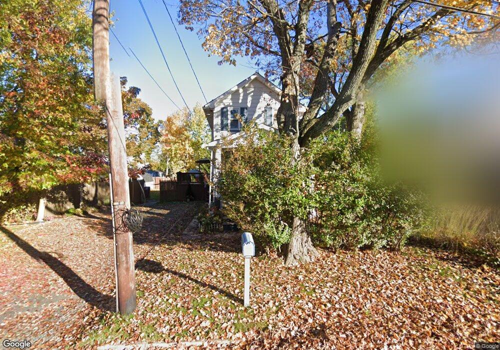
28 Hutchins Ave Trenton, NJ 08610
Estimated Value: $245,000 - $280,000
--
Bed
--
Bath
896
Sq Ft
$296/Sq Ft
Est. Value
About This Home
This home is located at 28 Hutchins Ave, Trenton, NJ 08610 and is currently estimated at $265,458, approximately $296 per square foot. 28 Hutchins Ave is a home located in Mercer County with nearby schools including George E. Wilson Elementary School, Albert E. Grice Middle School, and Hamilton West-Watson High School.
Ownership History
Date
Name
Owned For
Owner Type
Purchase Details
Closed on
Apr 17, 2003
Sold by
Brusco Matthew
Bought by
Fues Charles
Current Estimated Value
Home Financials for this Owner
Home Financials are based on the most recent Mortgage that was taken out on this home.
Original Mortgage
$108,188
Interest Rate
5.45%
Mortgage Type
FHA
Purchase Details
Closed on
Jul 10, 2000
Sold by
Whitehead Mary
Bought by
Brusco Matthew
Home Financials for this Owner
Home Financials are based on the most recent Mortgage that was taken out on this home.
Original Mortgage
$61,868
Interest Rate
8.18%
Mortgage Type
FHA
Create a Home Valuation Report for This Property
The Home Valuation Report is an in-depth analysis detailing your home's value as well as a comparison with similar homes in the area
Home Values in the Area
Average Home Value in this Area
Purchase History
| Date | Buyer | Sale Price | Title Company |
|---|---|---|---|
| Fues Charles | $109,500 | -- | |
| Brusco Matthew | $61,900 | -- |
Source: Public Records
Mortgage History
| Date | Status | Borrower | Loan Amount |
|---|---|---|---|
| Previous Owner | Fues Charles | $108,188 | |
| Previous Owner | Brusco Matthew | $61,868 |
Source: Public Records
Tax History Compared to Growth
Tax History
| Year | Tax Paid | Tax Assessment Tax Assessment Total Assessment is a certain percentage of the fair market value that is determined by local assessors to be the total taxable value of land and additions on the property. | Land | Improvement |
|---|---|---|---|---|
| 2025 | $4,179 | $118,600 | $32,500 | $86,100 |
| 2024 | $3,917 | $118,600 | $32,500 | $86,100 |
| 2023 | $3,917 | $118,600 | $32,500 | $86,100 |
| 2022 | $3,856 | $118,600 | $32,500 | $86,100 |
| 2021 | $4,771 | $118,600 | $32,500 | $86,100 |
| 2020 | $4,344 | $118,600 | $32,500 | $86,100 |
| 2019 | $4,216 | $118,600 | $32,500 | $86,100 |
| 2018 | $4,160 | $118,600 | $32,500 | $86,100 |
| 2017 | $3,975 | $118,600 | $32,500 | $86,100 |
| 2016 | $3,207 | $118,600 | $32,500 | $86,100 |
| 2015 | $4,141 | $79,500 | $22,000 | $57,500 |
| 2014 | $4,087 | $79,500 | $22,000 | $57,500 |
Source: Public Records
Map
Nearby Homes
- 50 Kenwood Terrace
- 56 Wert Ave
- 45 Kenwood Terrace
- 77 Wert Ave
- 624 Hunt Ave
- 252 Churchill Ave
- 164 Lillian Ave
- 234 Thropp Ave
- 533 Hunt Ave
- 529 Hunt Ave
- 204 Thropp Ave
- 158 Churchill Ave
- 408 Berg Ave
- 74 Taft Ave
- 156 Maddock Ave
- 429 Wilfred Ave
- 1782 Orchard Ave
- 2490 Sylvan Ave
- 90 Sundance Dr
- 323 Wilfred Ave
- 36 Hutchins Ave
- 18 Hutchins Ave
- 31 E Taylor Ave
- 44 Hutchins Ave
- 11 E Taylor Ave
- 37 E Taylor Ave
- 43 E Taylor Ave
- 806 Arena Dr
- 50 Hutchins Ave
- 29 Hutchins Ave
- 3 E Taylor Ave
- 35 Hutchins Ave
- 43 Hutchins Ave
- 15 Hutchins Ave
- 812 Arena Dr
- 0 E Taylor Ave Unit 25 2203248R
- 0 E Taylor Ave
- 49 Hutchins Ave
- 142 Reeves Ave
- 22 E Taylor Ave