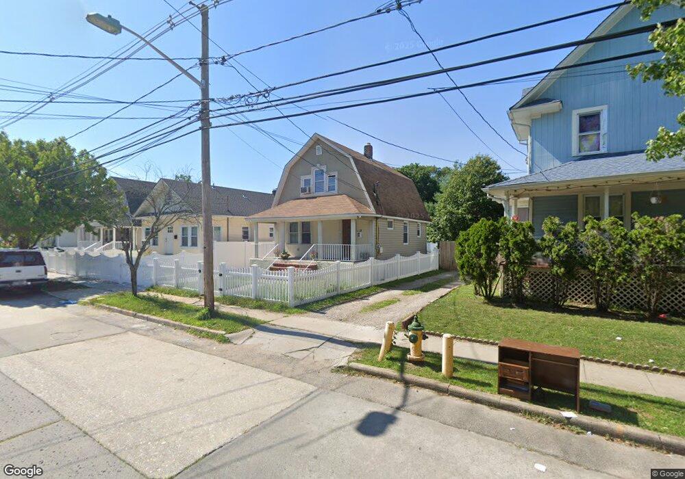
28 Independence Ave Freeport, NY 11520
Estimated Value: $563,000 - $565,602
3
Beds
1
Bath
1,001
Sq Ft
$564/Sq Ft
Est. Value
About This Home
This home is located at 28 Independence Ave, Freeport, NY 11520 and is currently estimated at $564,301, approximately $563 per square foot. 28 Independence Ave is a home located in Nassau County with nearby schools including Caroline G. Atkinson Intermediate School, Columbus Avenue School, and John W Dodd Middle School.
Ownership History
Date
Name
Owned For
Owner Type
Purchase Details
Closed on
Mar 5, 2019
Sold by
George Yeshika
Bought by
Gordon Leon and Robinson Omar
Current Estimated Value
Home Financials for this Owner
Home Financials are based on the most recent Mortgage that was taken out on this home.
Original Mortgage
$338,751
Outstanding Balance
$302,002
Interest Rate
5.12%
Mortgage Type
FHA
Estimated Equity
$262,299
Purchase Details
Closed on
Sep 11, 2007
Sold by
Liquidation Properties In
Bought by
George Yeshika
Purchase Details
Closed on
Aug 8, 2006
Sold by
Willis Carmen
Purchase Details
Closed on
Oct 28, 2004
Sold by
Mayo Linda
Bought by
Jenkins William
Create a Home Valuation Report for This Property
The Home Valuation Report is an in-depth analysis detailing your home's value as well as a comparison with similar homes in the area
Home Values in the Area
Average Home Value in this Area
Purchase History
| Date | Buyer | Sale Price | Title Company |
|---|---|---|---|
| Gordon Leon | $345,000 | None Available | |
| George Yeshika | $240,000 | -- | |
| -- | $322,646 | -- | |
| Jenkins William | $310,000 | -- |
Source: Public Records
Mortgage History
| Date | Status | Borrower | Loan Amount |
|---|---|---|---|
| Open | Gordon Leon | $338,751 |
Source: Public Records
Tax History
| Year | Tax Paid | Tax Assessment Tax Assessment Total Assessment is a certain percentage of the fair market value that is determined by local assessors to be the total taxable value of land and additions on the property. | Land | Improvement |
|---|---|---|---|---|
| 2025 | $5,843 | $274 | $137 | $137 |
| 2024 | $629 | $274 | $137 | $137 |
| 2023 | $6,401 | $274 | $137 | $137 |
| 2022 | $6,401 | $274 | $137 | $137 |
| 2021 | $10,077 | $319 | $112 | $207 |
| 2020 | $9,934 | $675 | $344 | $331 |
| 2019 | $1,120 | $675 | $344 | $331 |
| 2018 | $1,159 | $675 | $0 | $0 |
| 2017 | $8,123 | $675 | $344 | $331 |
| 2016 | $9,136 | $675 | $344 | $331 |
| 2015 | $975 | $675 | $344 | $331 |
| 2014 | $975 | $675 | $344 | $331 |
| 2013 | $921 | $675 | $344 | $331 |
Source: Public Records
Map
Nearby Homes
- 72 Woodside Ave
- 63 E Seaman Ave
- 35 W Seaman Ave
- 101 Harris Ave
- 63 Lincoln Place
- 188 Woodside Ave
- 247 N Columbus Ave
- 67 E Dean St
- 12 King St
- 365 Wallace St
- 400 N Columbus Ave
- 173 E Seaman Ave
- 251 N Long Beach Ave
- 152 Evans Ave
- 45 Dehnhoff Ave
- 27 W Woodbine Dr
- 32 Dawes Ave
- 161 Wallace St
- 85 Bedford Ave
- 60 Connecticut Ave
- 26 Independence Ave
- 30 Independence Ave
- 24 Independence Ave
- 32 Independence Ave
- 22 Independence Ave
- 44 Stevens St
- 42 Stevens St
- 40 Stevens St
- 46 Stevens St
- 34 Independence Ave
- 38 Stevens St
- 15 Independence Ave
- 48 Stevens St
- 27 Independence Ave
- 29 Independence Ave
- 25 Independence Ave
- 36 Stevens St
- 36 Independence Ave
- 50 Stevens St
- 31 Independence Ave
Your Personal Tour Guide
Ask me questions while you tour the home.