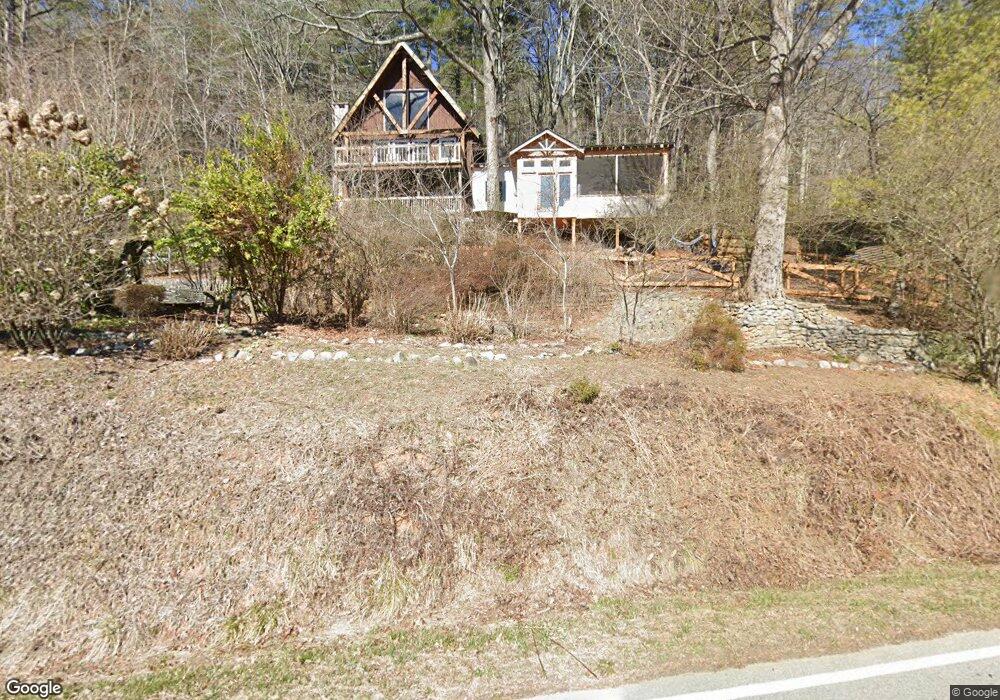
28 Keener Rd Rabun Gap, GA 30568
Estimated Value: $420,000 - $499,017
2
Beds
3
Baths
2,639
Sq Ft
$172/Sq Ft
Est. Value
About This Home
This home is located at 28 Keener Rd, Rabun Gap, GA 30568 and is currently estimated at $453,504, approximately $171 per square foot. 28 Keener Rd is a home located in Rabun County with nearby schools including Rabun County Primary School, Rabun County High School, and Rabun Gap Nacoochee School.
Ownership History
Date
Name
Owned For
Owner Type
Purchase Details
Closed on
Jun 24, 2016
Sold by
Wyland James
Bought by
Melendez Martin I and Melendez Santos
Current Estimated Value
Purchase Details
Closed on
Oct 31, 2003
Sold by
Reagan
Bought by
Wyland
Purchase Details
Closed on
Jan 1, 2003
Purchase Details
Closed on
Jan 1, 2002
Purchase Details
Closed on
Sep 1, 2001
Purchase Details
Closed on
Jan 1, 1999
Bought by
Wyland James G
Create a Home Valuation Report for This Property
The Home Valuation Report is an in-depth analysis detailing your home's value as well as a comparison with similar homes in the area
Home Values in the Area
Average Home Value in this Area
Purchase History
| Date | Buyer | Sale Price | Title Company |
|---|---|---|---|
| Melendez Martin I | $200,000 | -- | |
| Melendez Martin I | $200,000 | -- | |
| Wyland | $177,000 | -- | |
| Wyland | $177,000 | -- | |
| -- | -- | -- | |
| -- | -- | -- | |
| -- | $170,000 | -- | |
| -- | $170,000 | -- | |
| -- | -- | -- | |
| -- | -- | -- | |
| Wyland James G | $137,000 | -- | |
| Wyland James G | $137,000 | -- |
Source: Public Records
Tax History Compared to Growth
Tax History
| Year | Tax Paid | Tax Assessment Tax Assessment Total Assessment is a certain percentage of the fair market value that is determined by local assessors to be the total taxable value of land and additions on the property. | Land | Improvement |
|---|---|---|---|---|
| 2025 | $2,645 | $164,779 | $6,745 | $158,034 |
| 2024 | $2,024 | $126,078 | $6,745 | $119,333 |
| 2023 | $2,007 | $109,677 | $6,348 | $103,329 |
| 2022 | $1,731 | $94,569 | $5,952 | $88,617 |
| 2021 | $1,583 | $84,446 | $5,554 | $78,892 |
| 2020 | $1,495 | $77,087 | $5,554 | $71,533 |
| 2019 | $1,506 | $77,087 | $5,554 | $71,533 |
| 2018 | $1,511 | $77,087 | $5,554 | $71,533 |
| 2017 | $1,449 | $77,087 | $5,554 | $71,533 |
| 2016 | $1,205 | $77,087 | $5,554 | $71,533 |
| 2015 | $1,088 | $69,747 | $5,554 | $64,193 |
| 2014 | $1,091 | $69,747 | $5,554 | $64,193 |
Source: Public Records
Map
Nearby Homes
- 230 Majors Ln
- 5019 Wolffork Rd
- 0 Allen Cove Rd Unit 10586573
- 784 Wolffork Church Rd
- 5192 Wolffork Rd
- 786 Hope Haven Ln
- 373 Western Way
- 0 Sylvan Lake Dr Unit 47,48 10485897
- 0 Pitts Way Unit 10592369
- 1422 Wolffork Rd
- 243 Degroff Ln
- 0 Crest Ln Unit LOT 5 10572844
- 46 Clare Ln
- 189 Elm Ln
- 0 Alto Ln Unit 10533235
- 153 Coleman Heights Ln
- 0 Bob Hoover Trail Unit LOT 78
- 137 Olds Mountain Peak Rd
- 52 Lucky Ln
- 460 Anderson Dr
- 4 Keener Rd
- 750 Keener Rd
- 0 Keener Rd Unit 2937201
- 59 Keener Rd
- 4741 Wolffork Rd
- 20 Dickerson Ln
- 4761 Wolffork Rd
- 4761 Wolffork Rd Unit 101/2
- 4504 Wolffork Rd
- 136 Keener Rd
- 123 Dickerson Ln
- 4434 Wolffork Rd
- 4833 Wolffork Rd
- 164 Water Wheel Ln
- 28 Water Wheel Ln
- 0 Dickerson Ln Unit 66873
- 0 Dickerson Ln Unit 43393
- 187 Dickerson Ln
- 4346 Wolffork Rd
- 4893 Wolffork Rd