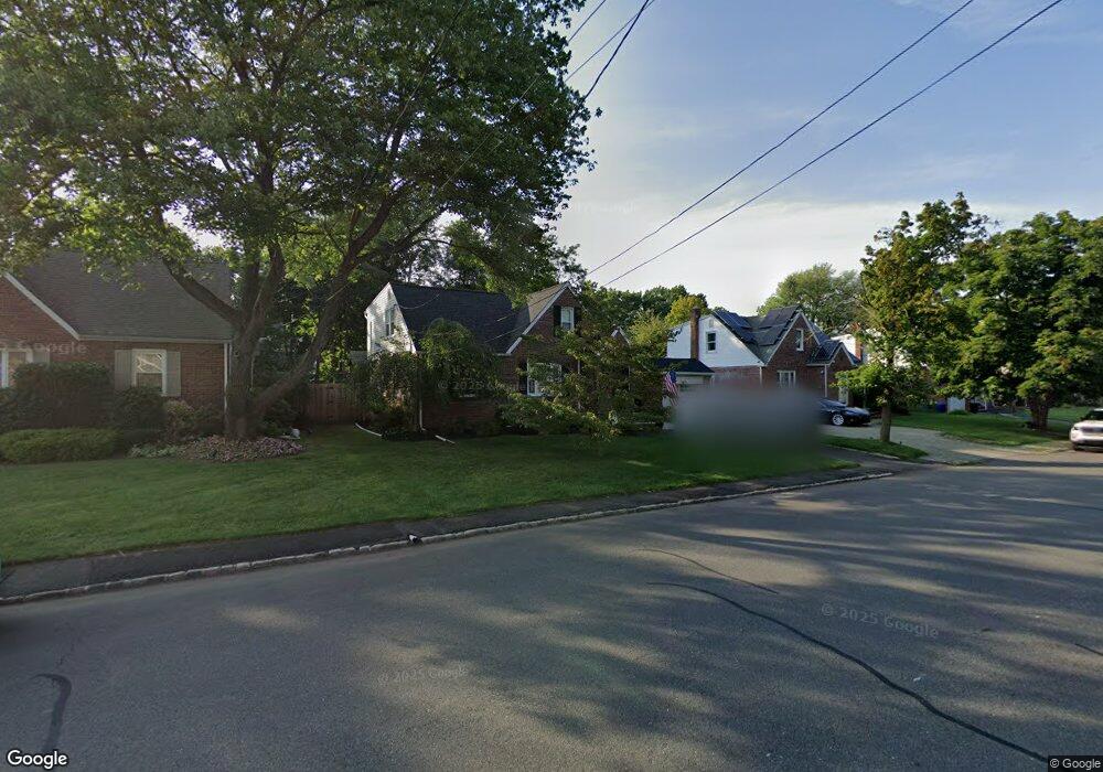
28 Keith Jeffries Ave Cranford, NJ 07016
Estimated Value: $434,000 - $952,000
--
Bed
--
Bath
1,696
Sq Ft
$435/Sq Ft
Est. Value
About This Home
This home is located at 28 Keith Jeffries Ave, Cranford, NJ 07016 and is currently estimated at $737,255, approximately $434 per square foot. 28 Keith Jeffries Ave is a home located in Union County with nearby schools including Cranford Sr High School, St Michael School, and Lightbridge Academy of Westfield.
Ownership History
Date
Name
Owned For
Owner Type
Purchase Details
Closed on
Oct 4, 2011
Sold by
Iannetti Dale B
Bought by
Parente Bruno J and Parente Kristine C
Current Estimated Value
Home Financials for this Owner
Home Financials are based on the most recent Mortgage that was taken out on this home.
Original Mortgage
$384,986
Outstanding Balance
$264,467
Interest Rate
4.25%
Mortgage Type
FHA
Estimated Equity
$472,788
Purchase Details
Closed on
Jan 25, 2006
Sold by
Bernard Robert J
Bought by
Iannetti Dale B
Home Financials for this Owner
Home Financials are based on the most recent Mortgage that was taken out on this home.
Original Mortgage
$283,000
Interest Rate
6.5%
Mortgage Type
Adjustable Rate Mortgage/ARM
Purchase Details
Closed on
Jul 30, 2003
Sold by
Bernard Robert
Bought by
Bernard Robert and Iannetti Dale
Purchase Details
Closed on
Mar 31, 1999
Sold by
Downey Barbara L
Bought by
Bernard Robert J
Home Financials for this Owner
Home Financials are based on the most recent Mortgage that was taken out on this home.
Original Mortgage
$130,000
Interest Rate
6.83%
Mortgage Type
Stand Alone First
Create a Home Valuation Report for This Property
The Home Valuation Report is an in-depth analysis detailing your home's value as well as a comparison with similar homes in the area
Home Values in the Area
Average Home Value in this Area
Purchase History
| Date | Buyer | Sale Price | Title Company |
|---|---|---|---|
| Parente Bruno J | $395,000 | None Available | |
| Iannetti Dale B | $129,340 | -- | |
| Bernard Robert | -- | -- | |
| Bernard Robert J | $163,000 | First American |
Source: Public Records
Mortgage History
| Date | Status | Borrower | Loan Amount |
|---|---|---|---|
| Open | Parente Bruno J | $384,986 | |
| Previous Owner | Iannetti Dale B | $283,000 | |
| Previous Owner | Bernard Robert J | $130,000 |
Source: Public Records
Tax History Compared to Growth
Tax History
| Year | Tax Paid | Tax Assessment Tax Assessment Total Assessment is a certain percentage of the fair market value that is determined by local assessors to be the total taxable value of land and additions on the property. | Land | Improvement |
|---|---|---|---|---|
| 2025 | $11,795 | $174,000 | $76,600 | $97,400 |
| 2024 | $11,601 | $174,000 | $76,600 | $97,400 |
| 2023 | $11,601 | $174,000 | $76,600 | $97,400 |
| 2022 | $11,505 | $174,000 | $76,600 | $97,400 |
| 2021 | $11,454 | $174,000 | $76,600 | $97,400 |
| 2020 | $11,418 | $174,000 | $76,600 | $97,400 |
| 2019 | $11,345 | $174,000 | $76,600 | $97,400 |
| 2018 | $11,139 | $174,000 | $76,600 | $97,400 |
| 2017 | $10,757 | $174,000 | $76,600 | $97,400 |
| 2016 | $10,365 | $174,000 | $76,600 | $97,400 |
| 2015 | $10,094 | $174,000 | $76,600 | $97,400 |
| 2014 | $9,887 | $174,000 | $76,600 | $97,400 |
Source: Public Records
Map
Nearby Homes
- 213 Welch Way
- 108 James Ave
- 118 Cambridge Rd
- 312 Hazel Ave
- 1920 Boynton Ave
- 205 Locust Ave
- 106 Virginia St
- 45 Hillcrest Ave
- 26 Manchester Dr
- 2 Byron Ct
- 501 Center St
- 443 Pine Ave
- 16 Manchester Dr
- 59 Willow Ave
- 176 Harrow Rd
- 1015 Columbus Ave
- 10 Alan O Kell Place
- 1508 Boulevard
- 113 Retford Ave
- 1012 Columbus Ave
- 26 Keith Jeffries Ave
- 30 Keith Jeffries Ave
- 29 Roger Ave
- 31 Roger Ave
- 32 Keith Jeffries Ave
- 27 Roger Ave
- 33 Roger Ave
- 25 Roger Ave
- 27 Keith Jeffries Ave
- 35 Roger Ave
- 29 Keith Jeffries Ave
- 22 Keith Jeffries Ave
- 34 Keith Jeffries Ave
- 23 Keith Jeffries Ave
- 31 Keith Jeffries Ave
- 23 Roger Ave
- 37 Roger Ave
- 37 Rogers Ave
- 20 Keith Jeffries Ave
- 36 Keith Jeffries Ave