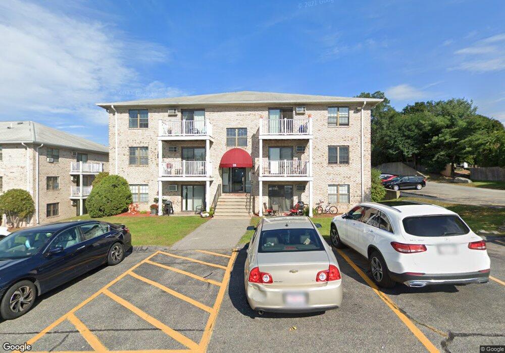
28 Kenmar Dr Unit 272 Billerica, MA 01821
Estimated Value: $334,377 - $351,000
2
Beds
1
Bath
800
Sq Ft
$427/Sq Ft
Est. Value
About This Home
This home is located at 28 Kenmar Dr Unit 272, Billerica, MA 01821 and is currently estimated at $341,594, approximately $426 per square foot. 28 Kenmar Dr Unit 272 is a home located in Middlesex County with nearby schools including Billerica Memorial High School.
Ownership History
Date
Name
Owned For
Owner Type
Purchase Details
Closed on
Jan 7, 2019
Sold by
Staples Christine E
Bought by
Wang Zhao
Current Estimated Value
Purchase Details
Closed on
Apr 19, 2005
Sold by
Morris Thomas J
Bought by
Staples Christine E
Home Financials for this Owner
Home Financials are based on the most recent Mortgage that was taken out on this home.
Original Mortgage
$142,400
Interest Rate
5.78%
Mortgage Type
Purchase Money Mortgage
Purchase Details
Closed on
Dec 16, 1997
Sold by
Charlesbank Garden Apt
Bought by
Morris Thomas J
Home Financials for this Owner
Home Financials are based on the most recent Mortgage that was taken out on this home.
Original Mortgage
$46,300
Interest Rate
7.14%
Mortgage Type
Purchase Money Mortgage
Create a Home Valuation Report for This Property
The Home Valuation Report is an in-depth analysis detailing your home's value as well as a comparison with similar homes in the area
Home Values in the Area
Average Home Value in this Area
Purchase History
| Date | Buyer | Sale Price | Title Company |
|---|---|---|---|
| Wang Zhao | $166,000 | None Available | |
| Staples Christine E | $178,000 | -- | |
| Morris Thomas J | $57,900 | -- |
Source: Public Records
Mortgage History
| Date | Status | Borrower | Loan Amount |
|---|---|---|---|
| Previous Owner | Staples Christine E | $142,400 | |
| Previous Owner | Morris Thomas J | $85,000 | |
| Previous Owner | Morris Thomas J | $46,300 |
Source: Public Records
Tax History Compared to Growth
Tax History
| Year | Tax Paid | Tax Assessment Tax Assessment Total Assessment is a certain percentage of the fair market value that is determined by local assessors to be the total taxable value of land and additions on the property. | Land | Improvement |
|---|---|---|---|---|
| 2025 | $3,402 | $299,200 | $0 | $299,200 |
| 2024 | $3,245 | $287,400 | $0 | $287,400 |
| 2023 | $2,994 | $252,200 | $0 | $252,200 |
| 2022 | $2,862 | $226,400 | $0 | $226,400 |
| 2021 | $2,626 | $202,000 | $0 | $202,000 |
| 2020 | $2,554 | $196,600 | $0 | $196,600 |
| 2019 | $2,267 | $168,200 | $0 | $168,200 |
| 2018 | $2,123 | $149,600 | $0 | $149,600 |
| 2017 | $1,939 | $137,600 | $0 | $137,600 |
| 2016 | $1,912 | $135,200 | $0 | $135,200 |
| 2015 | $1,752 | $124,800 | $0 | $124,800 |
| 2014 | $1,775 | $124,200 | $0 | $124,200 |
Source: Public Records
Map
Nearby Homes
- 14 Kenmar Dr Unit 111
- 22 Kenmar Dr Unit 194Y
- 2 Karen Cir Unit 2
- 10 Charnstaff Ln Unit 204
- 5 Karen Cir Unit 16
- 1 Purcell Dr
- 405 Boston Rd Unit 2
- 33 Pages Ct
- 19 Parker St
- 396 Boston Rd Unit 103
- 454 Middlesex Turnpike
- 8 Swan Ln
- 463 Middlesex Turnpike
- 37 Porter St
- 14 Elsie Ave
- 481 Middlesex Turnpike
- 483 Middlesex Turnpike
- 8 Water St
- 86 Lexington Rd
- 10 Avondale Ave
- 8 Kenmar Dr Unit 72
- 8 Kenmar Dr Unit 71
- 8 Kenmar Dr Unit 70
- 8 Kenmar Dr Unit 69
- 8 Kenmar Dr Unit 68
- 8 Kenmar Dr Unit 67
- 8 Kenmar Dr Unit 66
- 8 Kenmar Dr Unit 65
- 8 Kenmar Dr Unit 64
- 8 Kenmar Dr Unit 63
- 8 Kenmar Dr Unit 62
- 8 Kenmar Dr Unit 61
- 8 Kenmar Dr Unit 60
- 8 Kenmar Dr Unit 59
- 8 Kenmar Dr Unit 58
- 8 Kenmar Dr Unit 57
- 8 Kenmar Dr Unit 56
- 8 Kenmar Dr Unit 55
- 8 Kenmar Dr Unit 54
- 8 Kenmar Dr Unit 53