28 King Fisher Dr Ashland, PA 17921
Estimated Value: $150,531 - $246,000
3
Beds
2
Baths
1,148
Sq Ft
$171/Sq Ft
Est. Value
About This Home
This home is located at 28 King Fisher Dr, Ashland, PA 17921 and is currently estimated at $196,633, approximately $171 per square foot. 28 King Fisher Dr is a home located in Schuylkill County with nearby schools including Tri-Valley Junior/Senior High School.
Ownership History
Date
Name
Owned For
Owner Type
Purchase Details
Closed on
Jul 11, 2022
Sold by
White Marilyn A
Bought by
White Mason and Reynolds Brianna
Current Estimated Value
Home Financials for this Owner
Home Financials are based on the most recent Mortgage that was taken out on this home.
Original Mortgage
$123,500
Outstanding Balance
$117,638
Interest Rate
5.23%
Mortgage Type
New Conventional
Estimated Equity
$78,995
Purchase Details
Closed on
Jun 20, 2008
Sold by
Maser Gail R and Fleming Joseph
Bought by
White Marilyn A and Maser Gail R
Home Financials for this Owner
Home Financials are based on the most recent Mortgage that was taken out on this home.
Original Mortgage
$54,300
Interest Rate
6.07%
Mortgage Type
New Conventional
Create a Home Valuation Report for This Property
The Home Valuation Report is an in-depth analysis detailing your home's value as well as a comparison with similar homes in the area
Home Values in the Area
Average Home Value in this Area
Purchase History
| Date | Buyer | Sale Price | Title Company |
|---|---|---|---|
| White Mason | $130,000 | Northeast Edge Associates | |
| White Mason | $130,000 | Northeast Edge Associates | |
| White Marilyn A | $60,000 | None Available |
Source: Public Records
Mortgage History
| Date | Status | Borrower | Loan Amount |
|---|---|---|---|
| Open | White Mason | $123,500 | |
| Closed | White Mason | $123,500 | |
| Previous Owner | White Marilyn A | $54,300 |
Source: Public Records
Tax History Compared to Growth
Tax History
| Year | Tax Paid | Tax Assessment Tax Assessment Total Assessment is a certain percentage of the fair market value that is determined by local assessors to be the total taxable value of land and additions on the property. | Land | Improvement |
|---|---|---|---|---|
| 2025 | $807 | $12,160 | $3,000 | $9,160 |
| 2024 | $707 | $12,160 | $3,000 | $9,160 |
| 2023 | $681 | $12,160 | $3,000 | $9,160 |
| 2022 | $660 | $12,160 | $3,000 | $9,160 |
| 2021 | $641 | $12,160 | $3,000 | $9,160 |
| 2020 | $641 | $12,160 | $3,000 | $9,160 |
| 2018 | $615 | $12,160 | $3,000 | $9,160 |
| 2017 | $590 | $12,160 | $3,000 | $9,160 |
| 2015 | -- | $12,160 | $3,000 | $9,160 |
| 2011 | -- | $12,160 | $0 | $0 |
Source: Public Records
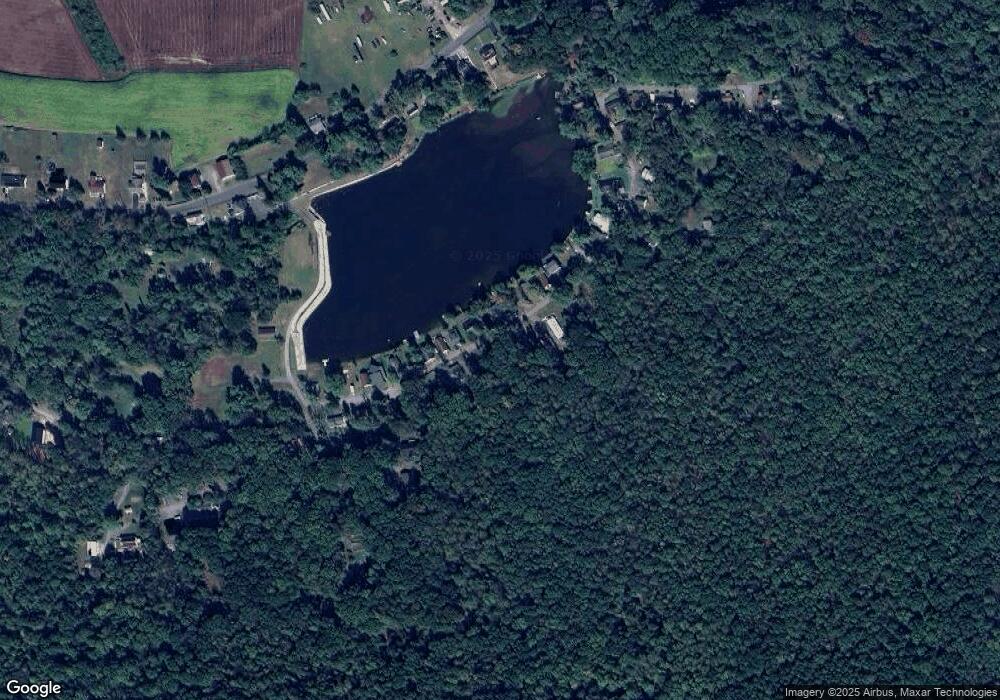
Map
Nearby Homes
- 0 Airport Rd Unit PASK2024112
- 572 Airport Rd
- 604 Airport Rd
- 416 Dutchtown Rd
- 31 Upper Beechwood Ave
- 0 W Side of Stein Rd
- 505 Mcknight St
- 323 N Hobart St
- 60 South St
- 310 Hobart St
- 0 Dutchtown Rd
- 0 Weishample Rd Unit 20-101360
- Cambridge Plan at Country Club Estates
- New Yorker Plan at Country Club Estates
- Juniper Plan at Country Club Estates
- Stafford Plan at Country Club Estates
- Iowa Plan at Country Club Estates
- 2200 Spruce St
- 132 Turnpike Rd
- 522 Forest Ln
- 24 King Fisher Dr
- 25 King Fisher Dr
- 29 King Fisher Dr
- 23 King Fisher Dr
- 34 King Fisher Dr
- 22 King Fisher Dr
- 33 King Fisher Dr
- 21 King Fisher Dr
- 19 King Fisher Dr
- 35 King Fisher Dr
- 37 King Fisher Dr
- 17 King Fisher Dr
- 15 King Fisher Dr
- 19 Bald Eagle Dr
- 11 King Fisher Dr
- 41 King Fisher Dr
- 9 King Fisher Dr
- 43 King Fisher Dr
- 17 Bald Eagle Dr
- 46 King Fisher Dr