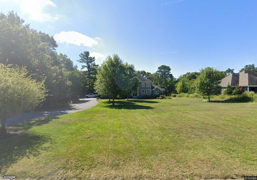
28 King Philip Way East Freetown, MA 02717
Estimated Value: $809,223 - $934,000
3
Beds
3
Baths
2,635
Sq Ft
$329/Sq Ft
Est. Value
About This Home
This home is located at 28 King Philip Way, East Freetown, MA 02717 and is currently estimated at $868,056, approximately $329 per square foot. 28 King Philip Way is a home with nearby schools including Freetown Elementary School, George R Austin Intermediate School, and Freetown-Lakeville Middle School.
Ownership History
Date
Name
Owned For
Owner Type
Purchase Details
Closed on
Nov 8, 2018
Sold by
Rego Bryan and Rego Leslie
Bought by
Rego Bryan
Current Estimated Value
Purchase Details
Closed on
Jun 29, 1977
Bought by
Rego Bryan and Rego Leslie A
Create a Home Valuation Report for This Property
The Home Valuation Report is an in-depth analysis detailing your home's value as well as a comparison with similar homes in the area
Home Values in the Area
Average Home Value in this Area
Purchase History
| Date | Buyer | Sale Price | Title Company |
|---|---|---|---|
| Rego Bryan | -- | -- | |
| Rego Bryan | -- | -- |
Source: Public Records
Tax History Compared to Growth
Tax History
| Year | Tax Paid | Tax Assessment Tax Assessment Total Assessment is a certain percentage of the fair market value that is determined by local assessors to be the total taxable value of land and additions on the property. | Land | Improvement |
|---|---|---|---|---|
| 2025 | $7,656 | $772,600 | $196,700 | $575,900 |
| 2024 | $7,668 | $735,200 | $185,500 | $549,700 |
| 2023 | $7,570 | $706,800 | $167,100 | $539,700 |
| 2022 | $7,269 | $602,700 | $141,600 | $461,100 |
| 2021 | $7,023 | $553,000 | $128,700 | $424,300 |
| 2020 | $7,056 | $541,900 | $123,800 | $418,100 |
| 2019 | $6,766 | $514,500 | $123,500 | $391,000 |
| 2018 | $6,775 | $509,000 | $123,500 | $385,500 |
| 2017 | $6,591 | $494,800 | $123,500 | $371,300 |
| 2016 | $5,787 | $442,100 | $119,900 | $322,200 |
| 2015 | $1,477 | $114,500 | $114,500 | $0 |
| 2014 | $1,482 | $117,500 | $117,500 | $0 |
Source: Public Records
Map
Nearby Homes
- 144 Chace Rd
- 0 Costa Dr
- 195 Slab Bridge Rd
- 150 Quanapoag Rd
- 599 Quanapoag Rd
- Lot 2/3 Quanapoag Rd
- 1475 Braley Rd Unit 17
- 4597 Acushnet Ave
- 13 Luscomb Ln
- 16 Swallow St
- 24 Bells Brook Rd
- 1069 Cherokee St
- 319 Northwest St
- 9 Paul Ave
- 34 Poplar Rd
- 210 Heritage Dr
- 145 Heritage Dr
- 50 Blueberry Dr
- 7 Great Cedar Crossing
- ES Phillips Rd
- 26 King Philip Way
- 88 King Philip Way
- 86 King Philip Way
- 87 King Philip Way
- 85 King Philip Way
- 83 King Philip Way
- 31 King Philip Way
- 29 King Philip Way
- 21 Jordan Ln
- 6 Buddys Crossing
- 19 Jordan Ln
- 24 King Philip Way
- 4 Buddys Crossing
- 27 King Philip Way
- 25 King Philip Way
- 2 Buddys Crossing
- 73 Jordan Ln
- 77 Jordan Ln
- 3 Buddys Crossing
- 74 Jordan Ln