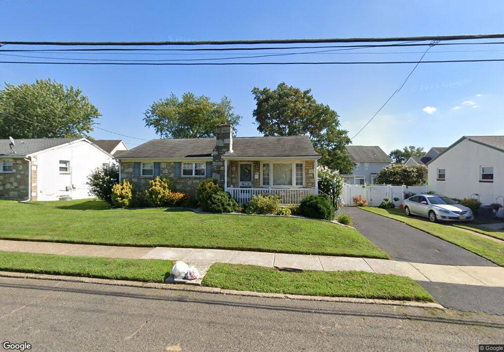
28 Lanci Rd Maple Shade, NJ 08052
Estimated Value: $323,234 - $364,000
Studio
--
Bath
1,292
Sq Ft
$271/Sq Ft
Est. Value
About This Home
This home is located at 28 Lanci Rd, Maple Shade, NJ 08052 and is currently estimated at $350,059, approximately $270 per square foot. 28 Lanci Rd is a home located in Burlington County with nearby schools including Ralph J Steinhauer Elementary School, Maude M. Wilkins Elementary School, and Howard R Yocum School.
Ownership History
Date
Name
Owned For
Owner Type
Purchase Details
Closed on
Oct 25, 2002
Sold by
Evans Genevieve and Evans Frank J
Bought by
Labman Susan E
Current Estimated Value
Home Financials for this Owner
Home Financials are based on the most recent Mortgage that was taken out on this home.
Original Mortgage
$102,400
Outstanding Balance
$42,922
Interest Rate
6.03%
Estimated Equity
$307,137
Purchase Details
Closed on
Nov 1, 1999
Sold by
Estate Of Josephine Salvatore and Salvatore Barbara A
Bought by
Evans Genevieve
Create a Home Valuation Report for This Property
The Home Valuation Report is an in-depth analysis detailing your home's value as well as a comparison with similar homes in the area
Home Values in the Area
Average Home Value in this Area
Purchase History
| Date | Buyer | Sale Price | Title Company |
|---|---|---|---|
| Labman Susan E | $128,000 | Congress Title Division | |
| Evans Genevieve | $98,700 | -- |
Source: Public Records
Mortgage History
| Date | Status | Borrower | Loan Amount |
|---|---|---|---|
| Open | Labman Susan E | $102,400 |
Source: Public Records
Tax History
| Year | Tax Paid | Tax Assessment Tax Assessment Total Assessment is a certain percentage of the fair market value that is determined by local assessors to be the total taxable value of land and additions on the property. | Land | Improvement |
|---|---|---|---|---|
| 2025 | $6,552 | $172,600 | $48,600 | $124,000 |
| 2024 | $6,362 | $172,600 | $48,600 | $124,000 |
| 2023 | $6,362 | $172,600 | $48,600 | $124,000 |
| 2022 | $6,264 | $172,600 | $48,600 | $124,000 |
| 2021 | $6,203 | $172,600 | $48,600 | $124,000 |
| 2020 | $6,221 | $172,600 | $48,600 | $124,000 |
| 2019 | $5,993 | $172,600 | $48,600 | $124,000 |
| 2018 | $5,889 | $172,600 | $48,600 | $124,000 |
| 2017 | $5,820 | $172,600 | $48,600 | $124,000 |
| 2016 | $5,734 | $172,600 | $48,600 | $124,000 |
| 2015 | $5,610 | $172,600 | $48,600 | $124,000 |
| 2014 | $5,439 | $172,600 | $48,600 | $124,000 |
Source: Public Records
Map
Nearby Homes
- 48 5th Ave
- 27 Indian Queen Ln
- 331 Collins Ln
- 400 N Forklanding Rd
- 3120 Route 73 N
- 2819 Haddonfield Rd
- 207 E Park Ave
- 712 E Woodlawn Ave
- 8315 Stockton Ave
- 8539 Bryn Mawr Ave
- 411 A3 Stiles Ave Unit A-3
- 411 C12 Stiles Ave Unit C-12
- 411 A2 Stiles Ave Unit A-2
- 5 Exeter Place
- 5 Vincent Way
- 27 Domenica Dr
- 8661 Wyndam Rd
- 48 Helen Ave
- 8201 Weymouth Dr
- 57 S Terrace Ave
Your Personal Tour Guide
Ask me questions while you tour the home.