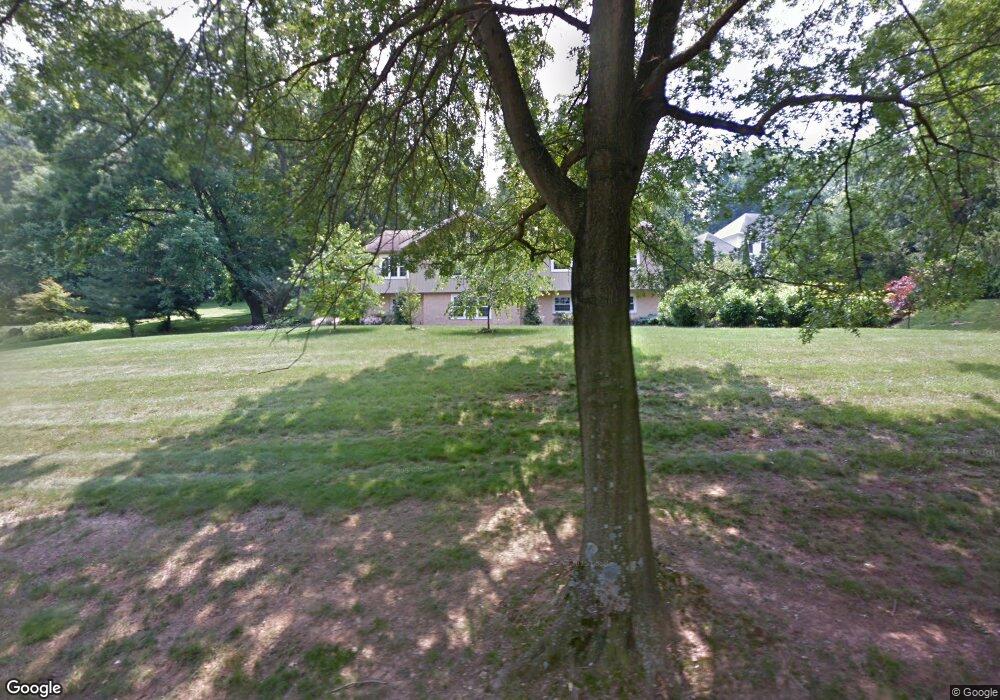
28 Locust Farm Dr Thornton, PA 19373
Concord Township Delaware NeighborhoodEstimated Value: $648,000 - $1,369,740
4
Beds
3
Baths
2,361
Sq Ft
$380/Sq Ft
Est. Value
About This Home
This home is located at 28 Locust Farm Dr, Thornton, PA 19373 and is currently estimated at $898,185, approximately $380 per square foot. 28 Locust Farm Dr is a home located in Delaware County with nearby schools including Garnet Valley High School, St. Thomas Apostle School, and St Cornelius School.
Ownership History
Date
Name
Owned For
Owner Type
Purchase Details
Closed on
Sep 12, 2025
Sold by
Berman Paul E and Macdonald Mary Jo
Bought by
Berman Macdonald Family Legacy Trust and Berman
Current Estimated Value
Purchase Details
Closed on
Jul 8, 1996
Sold by
Wilmington Trust Company
Bought by
Berman Paul E and Macdonald Mary Jo
Purchase Details
Closed on
May 9, 1996
Sold by
Osborne Ann
Bought by
Wilmington Trust Company
Create a Home Valuation Report for This Property
The Home Valuation Report is an in-depth analysis detailing your home's value as well as a comparison with similar homes in the area
Home Values in the Area
Average Home Value in this Area
Purchase History
| Date | Buyer | Sale Price | Title Company |
|---|---|---|---|
| Berman Macdonald Family Legacy Trust | -- | None Listed On Document | |
| Berman Paul E | $222,650 | Commonwealth Land Title Ins | |
| Wilmington Trust Company | $155,000 | -- |
Source: Public Records
Tax History Compared to Growth
Tax History
| Year | Tax Paid | Tax Assessment Tax Assessment Total Assessment is a certain percentage of the fair market value that is determined by local assessors to be the total taxable value of land and additions on the property. | Land | Improvement |
|---|---|---|---|---|
| 2025 | $9,513 | $417,850 | $156,170 | $261,680 |
| 2024 | $9,513 | $417,850 | $156,170 | $261,680 |
| 2023 | $9,276 | $417,850 | $156,170 | $261,680 |
| 2022 | $9,174 | $417,850 | $156,170 | $261,680 |
| 2021 | $15,425 | $417,850 | $156,170 | $261,680 |
| 2020 | $9,042 | $228,820 | $59,810 | $169,010 |
| 2019 | $8,908 | $228,820 | $59,810 | $169,010 |
| 2018 | $8,771 | $228,820 | $0 | $0 |
| 2017 | $8,592 | $228,820 | $0 | $0 |
| 2016 | $1,256 | $228,820 | $0 | $0 |
| 2015 | $1,281 | $228,820 | $0 | $0 |
| 2014 | $1,281 | $228,820 | $0 | $0 |
Source: Public Records
Map
Nearby Homes
- Lot 3 149 Governor Markham Cheslen
- 51 Scott Rd
- 589 Baltimore Pike
- 724 Concord Rd
- Lot 2 145 Governor Markham Cheslen
- 111 Cheyney Rd
- 23 Annesley Dr
- 65 Cheyney Rd
- 111 Mill Rd
- 48 Partridge Ln
- 547 Concord Rd
- 403 Brinton Lake Rd
- 0 Baltimore Pike
- 14 Stoneridge Rd
- 1000 N Phipps Woods Ct Unit 486
- 244 Baltimore Pike Unit 313
- 244 Baltimore Pike Unit 101
- 244 Baltimore Pike Unit 108
- 603 W Gray Fox Ln Unit 455
- 65 Pole Cat Rd
- 18 Locust Farm Dr
- 38 Locust Farm Dr
- 28 Regency Plaza
- 27 Locust Farm Dr
- 12 Locust Farm Dr
- 33 Locust Farm Dr
- 1 State Farm Dr
- 1 State Farm Dr
- 48 Locust Farm Dr
- 17 Thornton Rd
- 41 Locust Farm Dr
- 93 Thornton Rd
- 6 Locust Farm Dr
- 65 Thornton Rd
- 51 Locust Farm Dr
- 101 Thornton Rd
- 53 Locust Farm Dr
- 58 Thornton Rd
- 2 High Hill Ln
- 4 High Hill Ln