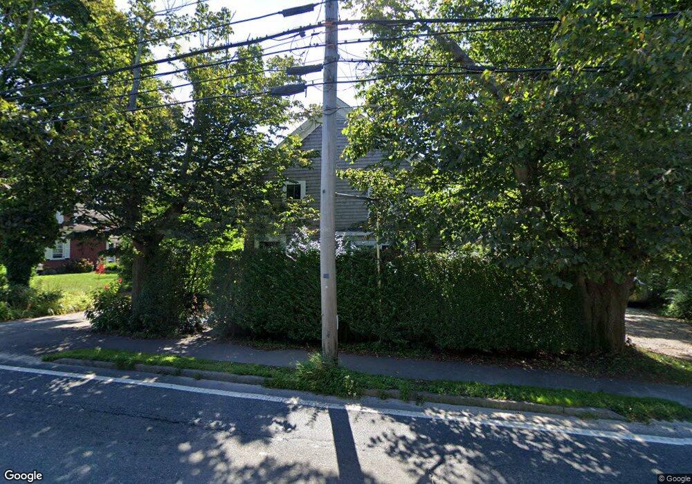
28 Locust St Falmouth, MA 02540
Falmouth Village NeighborhoodEstimated Value: $622,000 - $1,393,000
3
Beds
2
Baths
1,560
Sq Ft
$583/Sq Ft
Est. Value
About This Home
This home is located at 28 Locust St, Falmouth, MA 02540 and is currently estimated at $909,778, approximately $583 per square foot. 28 Locust St is a home located in Barnstable County with nearby schools including Mullen-Hall School, Lawrence School, and Morse Pond School.
Ownership History
Date
Name
Owned For
Owner Type
Purchase Details
Closed on
Feb 6, 2024
Sold by
Abrams Lane J and Abrams Lysbeth T
Bought by
Abrams Ft and Abrams
Current Estimated Value
Purchase Details
Closed on
Jul 3, 1991
Sold by
Martin George B and Martin Lisa L
Bought by
Abrams Lane J and Abrams Lysbeth T
Home Financials for this Owner
Home Financials are based on the most recent Mortgage that was taken out on this home.
Original Mortgage
$100,800
Interest Rate
9.37%
Mortgage Type
Purchase Money Mortgage
Create a Home Valuation Report for This Property
The Home Valuation Report is an in-depth analysis detailing your home's value as well as a comparison with similar homes in the area
Home Values in the Area
Average Home Value in this Area
Purchase History
| Date | Buyer | Sale Price | Title Company |
|---|---|---|---|
| Abrams Ft | -- | None Available | |
| Abrams Ft | -- | None Available | |
| Abrasm Ft | -- | None Available | |
| Abrams Lane J | $126,000 | -- | |
| Abrams Lane J | $126,000 | -- |
Source: Public Records
Mortgage History
| Date | Status | Borrower | Loan Amount |
|---|---|---|---|
| Previous Owner | Abrams Lane J | $99,100 | |
| Previous Owner | Abrams Lane J | $100,800 | |
| Previous Owner | Abrams Lane J | $77,100 |
Source: Public Records
Tax History Compared to Growth
Tax History
| Year | Tax Paid | Tax Assessment Tax Assessment Total Assessment is a certain percentage of the fair market value that is determined by local assessors to be the total taxable value of land and additions on the property. | Land | Improvement |
|---|---|---|---|---|
| 2025 | $2,942 | $501,200 | $154,000 | $347,200 |
| 2024 | $2,862 | $455,800 | $140,000 | $315,800 |
| 2023 | $2,860 | $413,300 | $140,000 | $273,300 |
| 2022 | $2,813 | $349,400 | $127,700 | $221,700 |
| 2021 | $2,593 | $305,100 | $122,100 | $183,000 |
| 2020 | $2,525 | $294,000 | $111,000 | $183,000 |
| 2019 | $2,479 | $289,600 | $111,000 | $178,600 |
| 2018 | $2,439 | $283,600 | $111,000 | $172,600 |
| 2017 | $2,365 | $277,200 | $111,000 | $166,200 |
| 2016 | $2,320 | $277,200 | $111,000 | $166,200 |
Source: Public Records
Map
Nearby Homes
- 71 Main St
- 98 Main St
- 98 Main St Unit 1
- 30 Katherine Lee Bates Rd
- 33 Oakwood Ave
- 65 Walker St
- 480 Main St Unit 1
- 110 Dillingham Ave Unit 322
- 15 Hedge Ln
- 354 Gifford St Unit 5
- 354 Gifford St Unit 2
- 354 Gifford St Unit 6
- 253 Scranton Ave
- 38 Landfall Unit 38
- 38 Landfall
- 37 Rydal Mount Dr
- 22 Alma Rd
- 55 Jericho Path
- 10 Shanks Pond Rd
- 18 Locust St
- 38 Locust St
- 38 Locust St
- 38 Locust St
- 44 Locust St
- 1 Main St
- 37 Locust St
- 37 Locust St Unit 1-3
- 29 Locust St
- 19 Locust St
- 15 W Main St
- 0 Simpson Unit 21B 9901920
- 0 Simpson Unit D
- 1 Locust St
- 15 Main St
- 6 N Main St
- 19 Main St
- 21 Simpson Ln Unit F
- 21 Simpson Ln Unit E
- 21 Simpson Ln Unit D