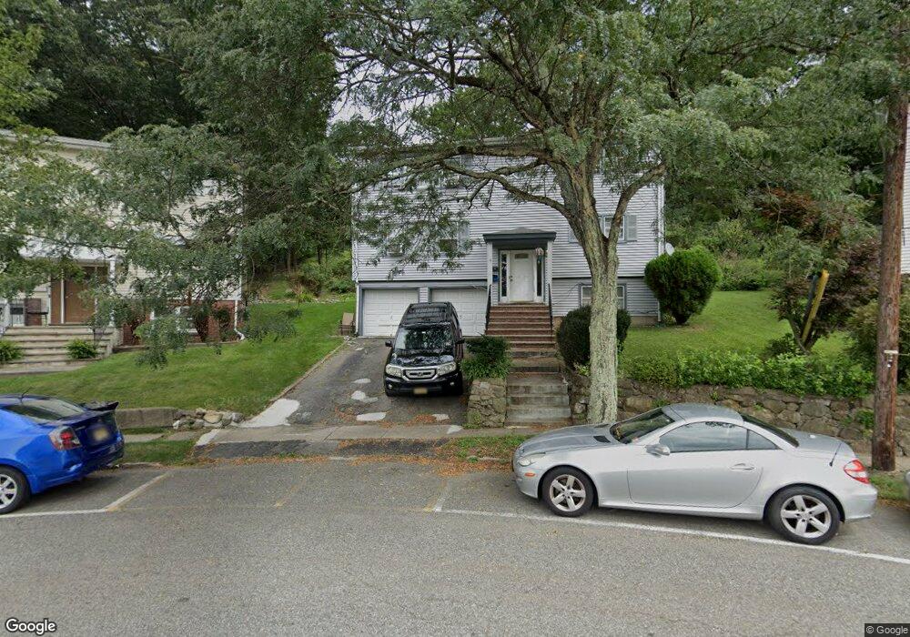
28 Lorraine Terrace Unit 1 Boonton, NJ 07005
Estimated Value: $620,000 - $767,000
3
Beds
1
Bath
2,560
Sq Ft
$276/Sq Ft
Est. Value
About This Home
This home is located at 28 Lorraine Terrace Unit 1, Boonton, NJ 07005 and is currently estimated at $707,007, approximately $276 per square foot. 28 Lorraine Terrace Unit 1 is a home located in Morris County with nearby schools including School Street Elementary School, John Hill Elementary School, and Boonton High School.
Ownership History
Date
Name
Owned For
Owner Type
Purchase Details
Closed on
Aug 11, 2022
Sold by
Mughal Munir Ahmed and Mughal Rahila M
Bought by
Peak Empire Llc
Current Estimated Value
Home Financials for this Owner
Home Financials are based on the most recent Mortgage that was taken out on this home.
Original Mortgage
$487,500
Interest Rate
5.51%
Mortgage Type
New Conventional
Purchase Details
Closed on
Dec 31, 2002
Sold by
Giansanti Carlo
Bought by
Mughal Munir and Mughal Rahila
Home Financials for this Owner
Home Financials are based on the most recent Mortgage that was taken out on this home.
Original Mortgage
$292,600
Interest Rate
6.19%
Create a Home Valuation Report for This Property
The Home Valuation Report is an in-depth analysis detailing your home's value as well as a comparison with similar homes in the area
Home Values in the Area
Average Home Value in this Area
Purchase History
| Date | Buyer | Sale Price | Title Company |
|---|---|---|---|
| Peak Empire Llc | -- | -- | |
| Mughal Munir | $308,000 | -- |
Source: Public Records
Mortgage History
| Date | Status | Borrower | Loan Amount |
|---|---|---|---|
| Previous Owner | Peak Empire Llc | $487,500 | |
| Previous Owner | Mughal Munir | $292,600 |
Source: Public Records
Tax History Compared to Growth
Tax History
| Year | Tax Paid | Tax Assessment Tax Assessment Total Assessment is a certain percentage of the fair market value that is determined by local assessors to be the total taxable value of land and additions on the property. | Land | Improvement |
|---|---|---|---|---|
| 2025 | $13,155 | $389,200 | $175,600 | $213,600 |
| 2024 | $12,809 | $389,200 | $175,600 | $213,600 |
| 2023 | $12,809 | $389,200 | $175,600 | $213,600 |
| 2022 | $12,139 | $389,200 | $175,600 | $213,600 |
| 2021 | $12,139 | $389,200 | $175,600 | $213,600 |
| 2020 | $11,637 | $389,200 | $175,600 | $213,600 |
| 2019 | $11,789 | $389,200 | $175,600 | $213,600 |
| 2018 | $11,478 | $389,200 | $175,600 | $213,600 |
| 2017 | $10,999 | $389,200 | $175,600 | $213,600 |
| 2016 | $10,711 | $389,200 | $175,600 | $213,600 |
| 2015 | $10,536 | $389,200 | $175,600 | $213,600 |
| 2014 | $10,302 | $389,200 | $175,600 | $213,600 |
Source: Public Records
Map
Nearby Homes
- 28 Lorraine Terrace
- 30 Lorraine Terrace
- 24 Lorraine Terrace
- 724 Oak St
- 104 Oak Rd
- 32 Lorraine Terrace
- 736 Oak St
- 22 Lorraine Terrace
- 622 Oak St
- 33 Lorraine Terrace
- 34 Lorraine Terrace
- 20 Lorraine Terrace
- 21 Lorraine Terrace
- 620 Oak St
- 36 Lorraine Terrace
- 18 Lorraine Terrace
- 19 Lorraine Terrace
- 35 Lorraine Terrace
- 35 Lorraine Terrace Unit 2
- 38 Lorraine Terrace