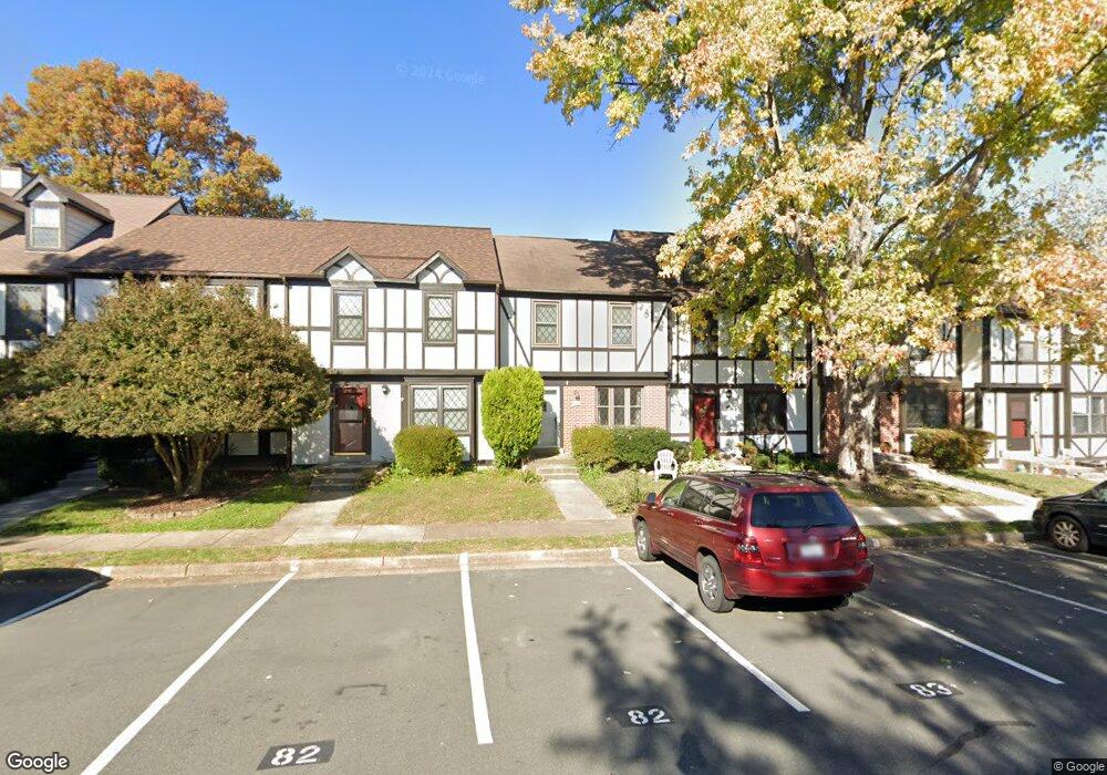
28 Lyndhurst Ct Sterling, VA 20165
Estimated Value: $512,000 - $529,000
3
Beds
3
Baths
1,960
Sq Ft
$267/Sq Ft
Est. Value
About This Home
This home is located at 28 Lyndhurst Ct, Sterling, VA 20165 and is currently estimated at $523,439, approximately $267 per square foot. 28 Lyndhurst Ct is a home located in Loudoun County with nearby schools including Algonkian Elementary School, River Bend Middle School, and Potomac Falls High School.
Ownership History
Date
Name
Owned For
Owner Type
Purchase Details
Closed on
May 4, 2021
Sold by
Mackin Patrick and Mackin Karey
Bought by
Greenman Maura Anne and Beautiful Girls Revocable Livi
Current Estimated Value
Home Financials for this Owner
Home Financials are based on the most recent Mortgage that was taken out on this home.
Original Mortgage
$380,000
Outstanding Balance
$343,836
Interest Rate
3%
Mortgage Type
New Conventional
Estimated Equity
$179,603
Purchase Details
Closed on
Mar 17, 2003
Sold by
Forrest Daniel
Bought by
Mackin Patrick
Home Financials for this Owner
Home Financials are based on the most recent Mortgage that was taken out on this home.
Original Mortgage
$179,920
Interest Rate
5.94%
Mortgage Type
New Conventional
Create a Home Valuation Report for This Property
The Home Valuation Report is an in-depth analysis detailing your home's value as well as a comparison with similar homes in the area
Home Values in the Area
Average Home Value in this Area
Purchase History
| Date | Buyer | Sale Price | Title Company |
|---|---|---|---|
| Greenman Maura Anne | $400,000 | Champion Title & Stlmnts Inc | |
| Mackin Patrick | $224,900 | -- |
Source: Public Records
Mortgage History
| Date | Status | Borrower | Loan Amount |
|---|---|---|---|
| Open | Greenman Maura Anne | $380,000 | |
| Previous Owner | Mackin Patrick | $179,920 |
Source: Public Records
Tax History Compared to Growth
Tax History
| Year | Tax Paid | Tax Assessment Tax Assessment Total Assessment is a certain percentage of the fair market value that is determined by local assessors to be the total taxable value of land and additions on the property. | Land | Improvement |
|---|---|---|---|---|
| 2025 | $3,843 | $477,390 | $145,000 | $332,390 |
| 2024 | $3,936 | $455,030 | $145,000 | $310,030 |
| 2023 | $3,855 | $440,560 | $145,000 | $295,560 |
| 2022 | $3,673 | $412,730 | $120,000 | $292,730 |
| 2021 | $3,571 | $364,340 | $105,000 | $259,340 |
| 2020 | $3,526 | $340,660 | $100,000 | $240,660 |
| 2019 | $3,414 | $326,720 | $100,000 | $226,720 |
| 2018 | $3,393 | $312,730 | $100,000 | $212,730 |
| 2017 | $3,353 | $298,080 | $100,000 | $198,080 |
| 2016 | $3,374 | $294,630 | $0 | $0 |
| 2015 | $3,305 | $191,210 | $0 | $191,210 |
| 2014 | $3,271 | $183,190 | $0 | $183,190 |
Source: Public Records
Map
Nearby Homes
- 21 Haxall Ct
- 18 Christopher Ln
- 14 Webley Ct
- 43 Bentley Dr
- 16 Worthington Ct
- 7 S Lowery Ct
- 130 Minor Rd
- 34 Palmer Ct
- 54 Huntley Ct
- 2 Berkeley Ct
- 20150 Dairy Ln
- 156 Peyton Rd
- 45550 Lakeside Dr
- 20627 Cutwater Place
- 45545 Lakeside Dr
- 45518 Lakemont Square
- 20594 Shadow Woods Ct
- 45928 Swallow Terrace
- 46186 Aisquith Terrace
- 46606 Drysdale Terrace Unit 101
- 26 Lyndhurst Ct
- 30 Lyndhurst Ct
- 24 Lyndhurst Ct
- 32 Lyndhurst Ct
- 22 Lyndhurst Ct
- 34 Lyndhurst Ct
- 20 Lyndhurst Ct
- 18 Lyndhurst Ct
- 37 Lyndhurst Ct
- 35 Lyndhurst Ct
- 16 Lyndhurst Ct
- 31 Lyndhurst Ct
- 14 Lyndhurst Ct
- 27 Lyndhurst Ct
- 12 Lyndhurst Ct
- 25 Lyndhurst Ct
- 10 Lyndhurst Ct
- 23 Lyndhurst Ct
- 8 Lyndhurst Ct
- 21 Lyndhurst Ct