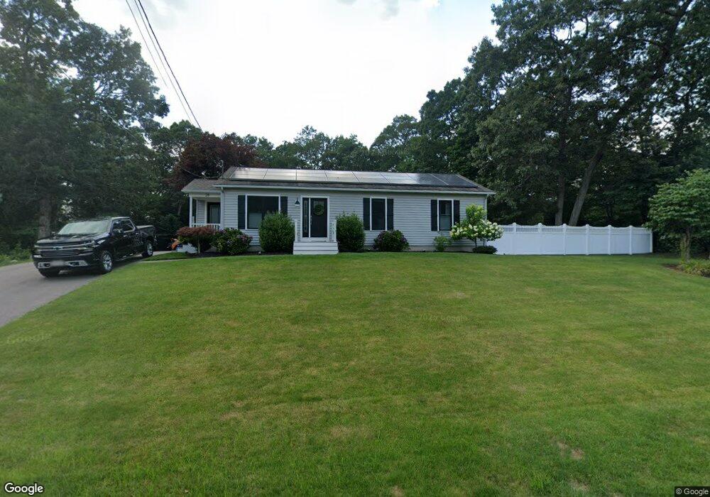
28 Mandys Place Swansea, MA 02777
Northeast Swansea NeighborhoodEstimated Value: $524,000 - $565,000
3
Beds
2
Baths
1,288
Sq Ft
$426/Sq Ft
Est. Value
About This Home
This home is located at 28 Mandys Place, Swansea, MA 02777 and is currently estimated at $548,645, approximately $425 per square foot. 28 Mandys Place is a home located in Bristol County with nearby schools including Joseph Case High School.
Ownership History
Date
Name
Owned For
Owner Type
Purchase Details
Closed on
Mar 31, 2008
Sold by
Richardson Michael D
Bought by
Richardson Katelyn F and Richardson Michael D
Current Estimated Value
Purchase Details
Closed on
Nov 22, 1994
Sold by
Edwin Corp
Bought by
Richardson Michael D and Richardson Suzanne R
Create a Home Valuation Report for This Property
The Home Valuation Report is an in-depth analysis detailing your home's value as well as a comparison with similar homes in the area
Home Values in the Area
Average Home Value in this Area
Purchase History
| Date | Buyer | Sale Price | Title Company |
|---|---|---|---|
| Richardson Katelyn F | -- | -- | |
| Richardson Michael D | $135,650 | -- |
Source: Public Records
Mortgage History
| Date | Status | Borrower | Loan Amount |
|---|---|---|---|
| Open | Richardson Michael D | $217,000 | |
| Previous Owner | Richardson Michael D | $180,000 |
Source: Public Records
Tax History Compared to Growth
Tax History
| Year | Tax Paid | Tax Assessment Tax Assessment Total Assessment is a certain percentage of the fair market value that is determined by local assessors to be the total taxable value of land and additions on the property. | Land | Improvement |
|---|---|---|---|---|
| 2025 | $5,626 | $472,000 | $195,000 | $277,000 |
| 2024 | $5,611 | $468,000 | $195,000 | $273,000 |
| 2023 | $5,097 | $388,200 | $143,100 | $245,100 |
| 2022 | $5,001 | $347,500 | $124,300 | $223,200 |
| 2021 | $4,811 | $307,800 | $136,000 | $171,800 |
| 2020 | $4,975 | $319,300 | $147,800 | $171,500 |
| 2019 | $4,335 | $279,500 | $108,000 | $171,500 |
| 2018 | $4,204 | $275,100 | $109,300 | $165,800 |
| 2017 | $3,653 | $275,100 | $109,300 | $165,800 |
| 2016 | $3,542 | $262,000 | $96,700 | $165,300 |
| 2015 | $3,226 | $245,700 | $96,700 | $149,000 |
| 2014 | $3,180 | $247,700 | $96,700 | $151,000 |
Source: Public Records
Map
Nearby Homes
- 383 Vinnicum Rd
- 1405 Gar Hwy Unit A
- 1261 U S 6
- 46 Magnolia Dr
- 147 Bushee Rd
- 1 Cedarbrook Unit A
- 107 Walker St
- 0 Old Fall River Rd Unit 73399047
- 107 & 107R Walker
- 24 Nod Rd
- 283 Plain St
- 7 Johnnies Way
- 3 Johnnies Way
- 3b Johnnies Way
- 3a Johnnies Way
- 4 Meadowbrook Ave
- 129 Cameron Way
- 17 Sassafras Rd
- 36 Columbine Rd
- 447 Old Warren Rd
- 42 Mandys Place
- 10 Mandys Place
- 353 Reed Rd
- 9 Mandys Place
- 43 Mandys Place
- 343 Reed Rd
- 371 Reed Rd
- Parcel 1 Keith's Cir
- 0 Benevides Blvd Unit 71605094
- 0 E S Market Street Lot 33 I Unit 71615299
- 0 Benevides Blvd Unit 71638837
- Lot 9 Brito Cir
- O S S Community Dr
- parcel 18 James Birch Ln
- Parcel 19 James Birch Ln
- Parcel 1 James Birch and Base Lodge
- Lot 15 Keith Cir
- 0 Sheri Lynn Dr Unit 71768096
- 5 Sheri Lynn Dr
- Lot 20 Keith Cir