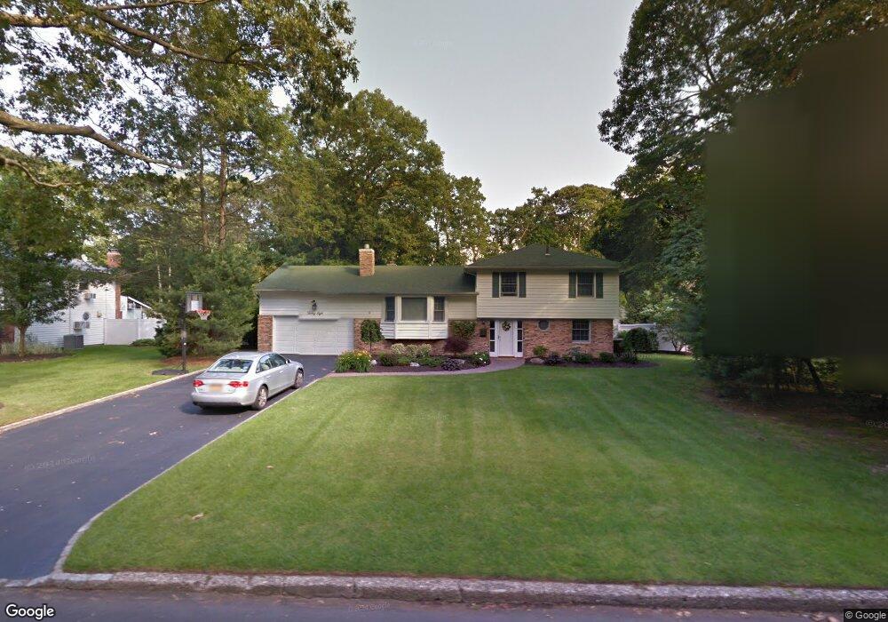
28 Mark Dr Smithtown, NY 11787
Estimated Value: $803,428 - $919,000
3
Beds
2
Baths
1,823
Sq Ft
$472/Sq Ft
Est. Value
About This Home
This home is located at 28 Mark Dr, Smithtown, NY 11787 and is currently estimated at $860,857, approximately $472 per square foot. 28 Mark Dr is a home located in Suffolk County with nearby schools including Smithtown Elementary School, Smithtown Christian School, and St Patrick Elementary School.
Ownership History
Date
Name
Owned For
Owner Type
Purchase Details
Closed on
May 19, 1995
Sold by
Corvelli Nicholas and Corvelli Gertrude
Bought by
Scatoni Richard T and Mcgahan Susan C
Current Estimated Value
Create a Home Valuation Report for This Property
The Home Valuation Report is an in-depth analysis detailing your home's value as well as a comparison with similar homes in the area
Home Values in the Area
Average Home Value in this Area
Purchase History
| Date | Buyer | Sale Price | Title Company |
|---|---|---|---|
| Scatoni Richard T | $225,000 | Commonwealth Land Title Ins |
Source: Public Records
Tax History
| Year | Tax Paid | Tax Assessment Tax Assessment Total Assessment is a certain percentage of the fair market value that is determined by local assessors to be the total taxable value of land and additions on the property. | Land | Improvement |
|---|---|---|---|---|
| 2024 | $16,062 | $6,220 | $465 | $5,755 |
| 2023 | $16,062 | $6,220 | $465 | $5,755 |
| 2022 | $14,125 | $6,220 | $465 | $5,755 |
| 2021 | $14,125 | $6,220 | $465 | $5,755 |
| 2020 | $15,317 | $6,220 | $465 | $5,755 |
| 2019 | $15,317 | $0 | $0 | $0 |
| 2018 | -- | $6,220 | $465 | $5,755 |
| 2017 | $14,348 | $6,220 | $465 | $5,755 |
| 2016 | $14,171 | $6,220 | $465 | $5,755 |
| 2015 | -- | $6,220 | $465 | $5,755 |
| 2014 | -- | $6,220 | $465 | $5,755 |
Source: Public Records
Map
Nearby Homes
- 31 Brooksite Dr
- 7 Flamingo Dr
- 55 Waverly Ave
- 96 Brooksite Dr
- 769 Meadow Rd
- 6 Stone Gate Ct
- 220 Larch Ln
- 27 Dillmont Dr
- 65 Birchbrook Dr
- 57 Birchbrook Dr
- 48 River Heights Dr
- 49 Lexington Ave
- 66 Darling Ave
- 10 Manor Place
- 6 Keystone Ct
- 355 Route 111 Unit 6
- 355 Route 111 Unit 23
- 335 Landing Ave
- 679A Meadow Rd
- 6 Cambridge Dr
Your Personal Tour Guide
Ask me questions while you tour the home.