28 Mattarest Ln South Dartmouth, MA 02748
Cow Yard/Nonquitt NeighborhoodEstimated Value: $2,093,374 - $2,691,000
5
Beds
4
Baths
3,261
Sq Ft
$746/Sq Ft
Est. Value
About This Home
This home is located at 28 Mattarest Ln, South Dartmouth, MA 02748 and is currently estimated at $2,431,458, approximately $745 per square foot. 28 Mattarest Ln is a home located in Bristol County with nearby schools including Dartmouth High School.
Ownership History
Date
Name
Owned For
Owner Type
Purchase Details
Closed on
Dec 12, 2007
Sold by
Jackson-Weiss Deborah
Bought by
Haydock Timothy G
Current Estimated Value
Purchase Details
Closed on
Aug 1, 1991
Sold by
Haydock Averill P
Bought by
Jackson Mary F
Home Financials for this Owner
Home Financials are based on the most recent Mortgage that was taken out on this home.
Original Mortgage
$150,000
Interest Rate
9.42%
Mortgage Type
Purchase Money Mortgage
Purchase Details
Closed on
Jun 10, 1991
Sold by
Frothingham William R
Bought by
Haydock Timothy G
Home Financials for this Owner
Home Financials are based on the most recent Mortgage that was taken out on this home.
Original Mortgage
$150,000
Interest Rate
9.42%
Mortgage Type
Purchase Money Mortgage
Create a Home Valuation Report for This Property
The Home Valuation Report is an in-depth analysis detailing your home's value as well as a comparison with similar homes in the area
Home Values in the Area
Average Home Value in this Area
Purchase History
| Date | Buyer | Sale Price | Title Company |
|---|---|---|---|
| Haydock Timothy G | -- | -- | |
| Jackson Mary F | $225,000 | -- | |
| Haydock Timothy G | $400,000 | -- |
Source: Public Records
Mortgage History
| Date | Status | Borrower | Loan Amount |
|---|---|---|---|
| Previous Owner | Haydock Timothy G | $250,000 | |
| Previous Owner | Haydock Timothy G | $150,000 |
Source: Public Records
Tax History Compared to Growth
Tax History
| Year | Tax Paid | Tax Assessment Tax Assessment Total Assessment is a certain percentage of the fair market value that is determined by local assessors to be the total taxable value of land and additions on the property. | Land | Improvement |
|---|---|---|---|---|
| 2025 | $17,986 | $2,089,000 | $1,327,000 | $762,000 |
| 2024 | $17,608 | $2,026,200 | $1,327,000 | $699,200 |
| 2023 | $18,120 | $1,976,000 | $1,327,000 | $649,000 |
| 2022 | $17,372 | $1,754,700 | $1,210,300 | $544,400 |
| 2021 | $4,827 | $1,762,700 | $1,203,600 | $559,100 |
| 2020 | $16,972 | $1,635,100 | $1,099,700 | $535,400 |
| 2019 | $17,051 | $1,639,500 | $1,132,800 | $506,700 |
| 2018 | $18,027 | $1,779,500 | $1,298,000 | $481,500 |
| 2017 | $17,148 | $1,711,400 | $1,224,600 | $486,800 |
| 2016 | $15,869 | $1,561,900 | $1,124,000 | $437,900 |
| 2015 | $16,887 | $1,665,400 | $1,222,900 | $442,500 |
| 2014 | $14,714 | $1,441,100 | $1,007,800 | $433,300 |
Source: Public Records
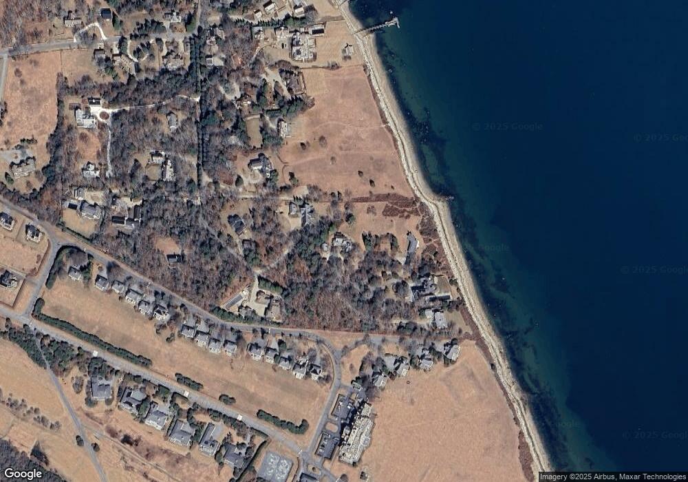
Map
Nearby Homes
- 48 N Shore Dr Unit 3&7
- 48 N Shore Dr Unit 8
- 62 Hetty Green St Unit 62
- 24 Eagle Dr
- 12 Meadow Shores Rd
- 482 Smith Neck Rd
- 158 Little River Rd
- 738 Smith Neck Rd
- 105 Rock Odundee Rd
- 24 White Alder Way
- Lot 1 Rafael Rd
- 23 High St
- 61 Pardon Hill Rd
- 40 School St
- 0 Stoneledge Rd
- 248 Bakerville Rd
- 00 Prospect St
- 76 Shipyard Ln
- 48 Wilson St
- 2 Spinnaker Ln
- 26 Mattarest Ln
- 00 Mattarest Ln
- 30 Mattarest Ln
- 25 Mattarest Ln
- 29 Mattarest Ln
- 20 Mattarest Ln
- 24 Mattarest Ln
- 27 Mattarest Ln
- 48-16 N Shore Dr Unit 16
- 32 N Shore Dr
- 32 N Shore Dr Unit 4
- 32 N Shore Dr Unit LC 4
- 30 Shore St
- 13 Mattarest Ln
- 21 Mattarest Ln
- 15 Mattarest Ln
- 14 Mattarest Ln
- 00 Hetty Green
- 12 Mattarest Ln
- 18 Mattarest Ln