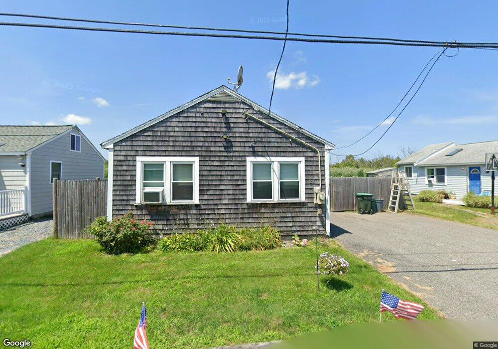
28 Mcarthur Ln Marshfield, MA 02050
Ocean Bluff-Brant Rock NeighborhoodEstimated Value: $478,000 - $522,000
2
Beds
1
Bath
800
Sq Ft
$624/Sq Ft
Est. Value
About This Home
This home is located at 28 Mcarthur Ln, Marshfield, MA 02050 and is currently estimated at $498,874, approximately $623 per square foot. 28 Mcarthur Ln is a home located in Plymouth County with nearby schools including Daniel Webster, Furnace Brook Middle School, and Marshfield High School.
Ownership History
Date
Name
Owned For
Owner Type
Purchase Details
Closed on
Oct 25, 2016
Sold by
Margaret V Omalley Ret and Omalley
Bought by
Omalley Jayne A
Current Estimated Value
Purchase Details
Closed on
Nov 20, 2009
Sold by
Omalley Margaret V
Bought by
Margaret V Omalley Ret
Home Financials for this Owner
Home Financials are based on the most recent Mortgage that was taken out on this home.
Original Mortgage
$84,000
Interest Rate
5.14%
Purchase Details
Closed on
May 17, 1999
Sold by
Damico John A and Damico Theresa G
Bought by
Omalley Margaret V
Home Financials for this Owner
Home Financials are based on the most recent Mortgage that was taken out on this home.
Original Mortgage
$92,000
Interest Rate
6.92%
Mortgage Type
Purchase Money Mortgage
Create a Home Valuation Report for This Property
The Home Valuation Report is an in-depth analysis detailing your home's value as well as a comparison with similar homes in the area
Home Values in the Area
Average Home Value in this Area
Purchase History
| Date | Buyer | Sale Price | Title Company |
|---|---|---|---|
| Omalley Jayne A | -- | None Available | |
| Omalley Jayne A | -- | None Available | |
| Margaret V Omalley Ret | -- | -- | |
| Margaret V Omalley Ret | -- | -- | |
| Omalley Margaret V | $115,000 | -- | |
| Omalley Margaret V | $115,000 | -- |
Source: Public Records
Mortgage History
| Date | Status | Borrower | Loan Amount |
|---|---|---|---|
| Previous Owner | Omalley Margaret V | $84,000 | |
| Previous Owner | Omalley Margaret V | $92,000 |
Source: Public Records
Tax History
| Year | Tax Paid | Tax Assessment Tax Assessment Total Assessment is a certain percentage of the fair market value that is determined by local assessors to be the total taxable value of land and additions on the property. | Land | Improvement |
|---|---|---|---|---|
| 2025 | $4,349 | $439,300 | $317,600 | $121,700 |
| 2024 | $4,292 | $413,100 | $297,800 | $115,300 |
| 2023 | $4,101 | $363,300 | $268,000 | $95,300 |
| 2022 | $4,101 | $316,700 | $228,300 | $88,400 |
| 2021 | $3,932 | $298,100 | $218,400 | $79,700 |
| 2020 | $3,518 | $263,900 | $188,600 | $75,300 |
| 2019 | $3,473 | $259,600 | $188,600 | $71,000 |
| 2018 | $3,471 | $259,600 | $188,600 | $71,000 |
| 2017 | $3,263 | $237,800 | $178,700 | $59,100 |
| 2016 | $3,162 | $227,800 | $168,700 | $59,100 |
| 2015 | $3,027 | $227,800 | $168,700 | $59,100 |
| 2014 | $2,982 | $224,400 | $168,700 | $55,700 |
Source: Public Records
Map
Nearby Homes
- 32 Mcarthur Ln
- 24 Mcarthur Ln
- 36 Mcarthur Ln
- 36 Mcarthur Ln Unit 36
- 36 Mcarthur Ln
- 27 Macarthur Ln Unit Winter
- 27 Mcarthur Ln Unit WINTER
- 27 Mcarthur Ln
- 40 Macarthur Ln
- 23 Mcarthur Ln
- 31 Mcarthur Ln
- 18 Mcarthur Ln
- 35 Mcarthur Ln
- 39 Mcarthur Ln
- 19 Mcarthur Ln
- 44 Mcarthur Ln
- 43 Mcarthur Ln
- 24 Johnson Terrace
- 50 Macarthur Ln
- 20 Johnson Terrace
Your Personal Tour Guide
Ask me questions while you tour the home.