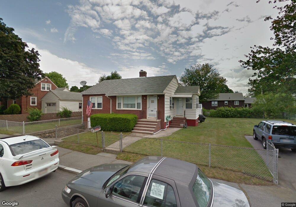
28 Meadowbrook Rd Methuen, MA 01844
The East End NeighborhoodEstimated Value: $435,000 - $479,260
2
Beds
2
Baths
936
Sq Ft
$496/Sq Ft
Est. Value
About This Home
This home is located at 28 Meadowbrook Rd, Methuen, MA 01844 and is currently estimated at $464,565, approximately $496 per square foot. 28 Meadowbrook Rd is a home located in Essex County with nearby schools including Timony Grammar School, Methuen High School, and Community Day Charter Public School - Gateway.
Ownership History
Date
Name
Owned For
Owner Type
Purchase Details
Closed on
May 12, 2004
Sold by
Alses Carolyn M
Bought by
Copley David A
Current Estimated Value
Home Financials for this Owner
Home Financials are based on the most recent Mortgage that was taken out on this home.
Original Mortgage
$201,600
Outstanding Balance
$92,180
Interest Rate
5.47%
Mortgage Type
Purchase Money Mortgage
Estimated Equity
$372,385
Purchase Details
Closed on
Aug 16, 2000
Sold by
Twomey Gail F
Bought by
Copley David A and Alses Carolyn M
Create a Home Valuation Report for This Property
The Home Valuation Report is an in-depth analysis detailing your home's value as well as a comparison with similar homes in the area
Home Values in the Area
Average Home Value in this Area
Purchase History
| Date | Buyer | Sale Price | Title Company |
|---|---|---|---|
| Copley David A | -- | -- | |
| Copley David A | -- | -- | |
| Copley David A | $152,000 | -- | |
| Copley David A | $152,000 | -- |
Source: Public Records
Mortgage History
| Date | Status | Borrower | Loan Amount |
|---|---|---|---|
| Open | Copley David A | $201,600 | |
| Closed | Copley David A | $201,600 | |
| Previous Owner | Copley David A | $41,100 |
Source: Public Records
Tax History
| Year | Tax Paid | Tax Assessment Tax Assessment Total Assessment is a certain percentage of the fair market value that is determined by local assessors to be the total taxable value of land and additions on the property. | Land | Improvement |
|---|---|---|---|---|
| 2025 | $4,410 | $416,800 | $201,700 | $215,100 |
| 2024 | $4,334 | $399,100 | $184,000 | $215,100 |
| 2023 | $4,100 | $350,400 | $163,500 | $186,900 |
| 2022 | $3,935 | $301,500 | $136,300 | $165,200 |
| 2021 | $3,698 | $280,400 | $129,400 | $151,000 |
| 2020 | $3,696 | $275,000 | $129,400 | $145,600 |
| 2019 | $3,380 | $238,200 | $115,800 | $122,400 |
| 2018 | $3,311 | $232,000 | $115,800 | $116,200 |
| 2017 | $3,230 | $220,500 | $115,800 | $104,700 |
| 2016 | $3,088 | $208,500 | $109,000 | $99,500 |
| 2015 | $2,997 | $205,300 | $109,000 | $96,300 |
Source: Public Records
Map
Nearby Homes
- 18 Erhardt Terrace
- 7 Erhardt Terrace
- 32 Josephine Ave
- 106 Leroy Ave
- 12 Annette St
- 264 E Haverhill St Unit 2
- 39 Swan Ave
- 68 Ashford St
- 14 Court St
- 1 Riverview Blvd Unit 8-203
- 109 Ferry St
- 65 Arthur St
- 2 Leslie St
- 25-27 Bicknell Ave
- 37 Albion St
- 5 Kendrick St
- 192 Union St
- 173 Jackson St
- 27 Woodland Ct
- 30 Anderson Dr
- 30 Meadowbrook Rd
- 24 Meadowbrook Rd
- 24 Linwood Ave
- 20 Linwood Ave
- 28 Linwood Ave
- 44 Meadowbrook Rd
- 37 Meadowbrook Rd
- 21 Meadowbrook Rd
- 16 Linwood Ave
- 20 Meadowbrook Rd
- 0 Linwood Ave
- 43 Meadowbrook Rd
- 30 Ridge Rd
- 26 Ridge Rd
- 17 Meadowbrook Rd
- 22 Ridge Rd
- 30 Linwood Ave
- 30 Linwood Ave Unit 2
- 23 Linwood Ave
- 19 Linwood Ave
Your Personal Tour Guide
Ask me questions while you tour the home.