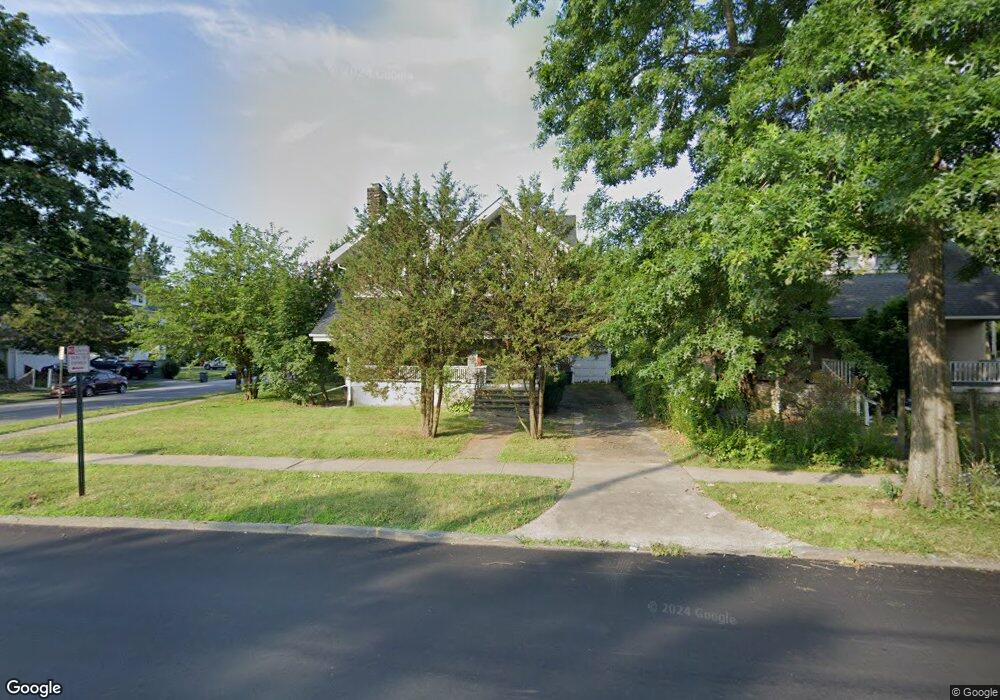
28 Midland Ave White Plains, NY 10606
Fisher Hill NeighborhoodEstimated Value: $562,000 - $793,814
4
Beds
1
Bath
2,408
Sq Ft
$272/Sq Ft
Est. Value
About This Home
This home is located at 28 Midland Ave, White Plains, NY 10606 and is currently estimated at $655,454, approximately $272 per square foot. 28 Midland Ave is a home located in Westchester County with nearby schools including White Plains Middle School, White Plains Senior High School, and Kodomono Kuni School.
Ownership History
Date
Name
Owned For
Owner Type
Purchase Details
Closed on
Mar 6, 2025
Sold by
Oak Growth Development Llc
Bought by
A & D Musaj Construction Llc
Current Estimated Value
Purchase Details
Closed on
Sep 10, 2019
Sold by
Moodie Wells Grace
Bought by
Oak Growth Development Llc
Home Financials for this Owner
Home Financials are based on the most recent Mortgage that was taken out on this home.
Original Mortgage
$454,625
Interest Rate
3.6%
Mortgage Type
Commercial
Purchase Details
Closed on
Mar 24, 2005
Purchase Details
Closed on
Jul 21, 1995
Sold by
Evelyn Stephen William and Evelyn Stephen
Bought by
Thompson Sybil
Create a Home Valuation Report for This Property
The Home Valuation Report is an in-depth analysis detailing your home's value as well as a comparison with similar homes in the area
Home Values in the Area
Average Home Value in this Area
Purchase History
| Date | Buyer | Sale Price | Title Company |
|---|---|---|---|
| A & D Musaj Construction Llc | $540,000 | Judicial Title | |
| Oak Growth Development Llc | $230,000 | None Available | |
| -- | -- | -- | |
| Thompson Sybil | -- | None Available | |
| Thompson Sybil | $182,755 | Lawyers Title Insurance Corp |
Source: Public Records
Mortgage History
| Date | Status | Borrower | Loan Amount |
|---|---|---|---|
| Previous Owner | Oak Growth Development Llc | $454,625 |
Source: Public Records
Tax History Compared to Growth
Tax History
| Year | Tax Paid | Tax Assessment Tax Assessment Total Assessment is a certain percentage of the fair market value that is determined by local assessors to be the total taxable value of land and additions on the property. | Land | Improvement |
|---|---|---|---|---|
| 2024 | $1,440 | $10,500 | $2,450 | $8,050 |
| 2023 | $1,445 | $8,900 | $2,450 | $6,450 |
| 2022 | $8,212 | $8,900 | $2,450 | $6,450 |
| 2021 | $8,210 | $10,250 | $2,450 | $7,800 |
| 2020 | $9,304 | $10,250 | $2,450 | $7,800 |
| 2019 | $10,551 | $10,250 | $2,450 | $7,800 |
| 2018 | $8,774 | $10,250 | $2,450 | $7,800 |
| 2017 | $3,924 | $10,250 | $2,450 | $7,800 |
| 2016 | $9,681 | $10,250 | $2,450 | $7,800 |
| 2015 | $8,294 | $10,250 | $2,450 | $7,800 |
| 2014 | $8,294 | $10,250 | $2,450 | $7,800 |
| 2013 | $8,294 | $10,250 | $2,450 | $7,800 |
Source: Public Records
Map
Nearby Homes
- 2 Soundview Ave Unit 2D
- 25 Midland Ave
- 205 W Post Rd Unit 2H
- 205 W Post Rd Unit 1L
- 14 Soundview Ave Unit 12
- 14 Soundview Ave Unit 38
- 14 Soundview Ave Unit 8
- 14 Soundview Ave Unit 22
- 39 Rathbun Ave
- 140 Walworth Ave
- 4 Woodland Place
- 20 Claremont Rd
- 54 Claremont Rd
- 157 Fisher Ave Unit 159
- 6 Andover Rd
- 23 Jackson Ave
- 27 Fairview Rd
- 75 Smith Ave
- 36 Bryant Ave
- 40 Longview Ave