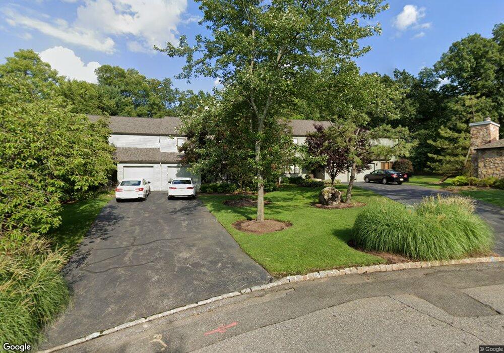
28 Minnisink Dr Roseland, NJ 07068
Estimated Value: $589,462 - $623,000
--
Bed
--
Bath
1,706
Sq Ft
$352/Sq Ft
Est. Value
About This Home
This home is located at 28 Minnisink Dr, Roseland, NJ 07068 and is currently estimated at $600,616, approximately $352 per square foot. 28 Minnisink Dr is a home located in Essex County with nearby schools including Lester C. Noecker Elementary School, West Essex Middle School, and West Essex High School.
Ownership History
Date
Name
Owned For
Owner Type
Purchase Details
Closed on
Oct 9, 2015
Sold by
Lamb Susan Langway
Bought by
Langway Susan Mazue
Current Estimated Value
Purchase Details
Closed on
Sep 23, 2015
Sold by
Phh Mortage Corporation
Bought by
Federal National Mortgage Association
Purchase Details
Closed on
May 17, 2002
Sold by
Bruce Richard
Bought by
Lamb Susan
Purchase Details
Closed on
Jun 8, 1998
Sold by
Ames Frances J
Bought by
Bruce Richard E and Bruce Janet D
Create a Home Valuation Report for This Property
The Home Valuation Report is an in-depth analysis detailing your home's value as well as a comparison with similar homes in the area
Home Values in the Area
Average Home Value in this Area
Purchase History
| Date | Buyer | Sale Price | Title Company |
|---|---|---|---|
| Langway Susan Mazue | -- | Attorney | |
| Langway Susan Mazue | -- | Attorney | |
| Federal National Mortgage Association | -- | None Available | |
| Lamb Susan | $279,000 | -- | |
| Bruce Richard E | $225,000 | -- |
Source: Public Records
Tax History Compared to Growth
Tax History
| Year | Tax Paid | Tax Assessment Tax Assessment Total Assessment is a certain percentage of the fair market value that is determined by local assessors to be the total taxable value of land and additions on the property. | Land | Improvement |
|---|---|---|---|---|
| 2025 | $7,612 | $444,900 | $240,000 | $204,900 |
| 2024 | $7,612 | $444,900 | $240,000 | $204,900 |
| 2022 | $7,677 | $328,800 | $170,000 | $158,800 |
| 2021 | $7,572 | $328,800 | $170,000 | $158,800 |
| 2020 | $7,546 | $328,800 | $170,000 | $158,800 |
| 2019 | $7,477 | $328,800 | $170,000 | $158,800 |
| 2018 | $7,411 | $328,800 | $170,000 | $158,800 |
| 2017 | $7,408 | $328,800 | $170,000 | $158,800 |
| 2016 | $7,293 | $328,800 | $170,000 | $158,800 |
| 2015 | $7,309 | $328,800 | $170,000 | $158,800 |
| 2014 | $7,105 | $328,800 | $170,000 | $158,800 |
Source: Public Records
Map
Nearby Homes
- 20 Lenape Dr
- 88 Kent Dr Unit C0176
- 6 Mulford Ct Unit Address 6
- 6 Mulford Ct Unit C0013
- 38 Passaic Ave
- 144 Passaic Ave
- 26 Passaic Ave
- 192 Eagle Rock Ave
- 30 Schweinberg Dr
- 39 Schweinberg Dr Unit 2039
- 39 Schweinberg Dr
- 178 Passaic Ave
- 187 Passaic Ave
- 26 Bovensiepen Ct
- 26 Bovensiepen Ct Unit 3526
- 4 Williamsburg Dr
- 518 Eagle Rock Ave
- 58 Leonard Terrace
- 281 N Livingston Ave
- 34 Lincoln St
- 30 Minnisink Dr
- 26 Minnisink Dr
- 32 Minnisink Dr
- 24 Minnisink Dr
- 34 Minnisink Dr
- 22 Minnisink Dr
- 36 Minnisink Dr
- 20 Minnisink Dr
- 18 Minnisink Dr
- 40 Minnisink Dr
- 42 Minnisink Dr
- 14 Minnisink Dr
- 44 Minnisink Dr
- 25 Minnisink Dr
- 27 Minnisink Dr
- 29 Minnisink Dr
- 12 Minnisink Dr
- 31 Minnisink Dr
- 10 Clements Ct Unit C0069
- 14 Clements Ct Unit C0071