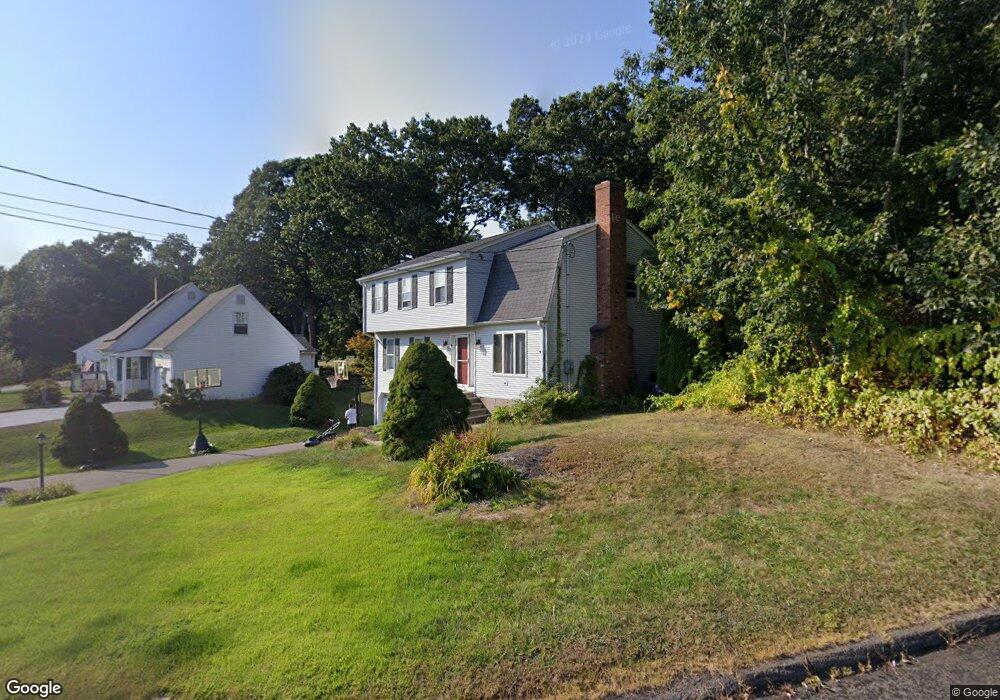
28 Myrtle Rd Portland, CT 06480
Estimated Value: $449,000 - $500,000
4
Beds
3
Baths
2,136
Sq Ft
$217/Sq Ft
Est. Value
About This Home
This home is located at 28 Myrtle Rd, Portland, CT 06480 and is currently estimated at $464,367, approximately $217 per square foot. 28 Myrtle Rd is a home located in Middlesex County with nearby schools including Valley View School, Brownstone Intermediate School, and Gildersleeve School.
Ownership History
Date
Name
Owned For
Owner Type
Purchase Details
Closed on
Jan 2, 2020
Sold by
Rush Thomas
Bought by
Thomas Rush Lt
Current Estimated Value
Purchase Details
Closed on
May 29, 2007
Sold by
Demerchant Daniel C
Bought by
Ciarleglio Steven and Ciarleglio Shari
Home Financials for this Owner
Home Financials are based on the most recent Mortgage that was taken out on this home.
Original Mortgage
$219,500
Interest Rate
6.27%
Purchase Details
Closed on
Aug 22, 2003
Sold by
Ramos Ivan A and Ramos Amy King
Bought by
Demerchant Daniel C
Home Financials for this Owner
Home Financials are based on the most recent Mortgage that was taken out on this home.
Original Mortgage
$203,200
Interest Rate
5.52%
Purchase Details
Closed on
Jul 29, 1996
Sold by
Daniels David J and Daniels Carolyn J
Bought by
Ramos Amy King and Ramos Ivan A
Create a Home Valuation Report for This Property
The Home Valuation Report is an in-depth analysis detailing your home's value as well as a comparison with similar homes in the area
Home Values in the Area
Average Home Value in this Area
Purchase History
| Date | Buyer | Sale Price | Title Company |
|---|---|---|---|
| Thomas Rush Lt | -- | None Available | |
| Ciarleglio Steven | $309,500 | -- | |
| Demerchant Daniel C | $254,000 | -- | |
| Ramos Amy King | $177,000 | -- |
Source: Public Records
Mortgage History
| Date | Status | Borrower | Loan Amount |
|---|---|---|---|
| Previous Owner | Ramos Amy King | $210,397 | |
| Previous Owner | Ramos Amy King | $219,500 | |
| Previous Owner | Ramos Amy King | $203,200 |
Source: Public Records
Tax History Compared to Growth
Tax History
| Year | Tax Paid | Tax Assessment Tax Assessment Total Assessment is a certain percentage of the fair market value that is determined by local assessors to be the total taxable value of land and additions on the property. | Land | Improvement |
|---|---|---|---|---|
| 2024 | $7,681 | $223,930 | $56,910 | $167,020 |
| 2023 | $7,269 | $223,930 | $56,910 | $167,020 |
| 2022 | $7,264 | $223,930 | $56,910 | $167,020 |
| 2021 | $7,129 | $203,630 | $56,910 | $146,720 |
| 2020 | $6,459 | $203,630 | $56,910 | $146,720 |
| 2019 | $6,885 | $203,630 | $56,910 | $146,720 |
| 2018 | $6,386 | $203,630 | $56,910 | $146,720 |
| 2017 | $6,716 | $203,630 | $56,910 | $146,720 |
| 2016 | $6,090 | $187,320 | $65,800 | $121,520 |
| 2015 | $6,058 | $187,320 | $65,800 | $121,520 |
| 2014 | $5,953 | $187,320 | $65,800 | $121,520 |
Source: Public Records
Map
Nearby Homes
- 12 Burr St
- 5 Woodland Rd
- 47 High St
- 25 Church St
- 35 Copper Beech Ln Unit 35
- 523 Main St
- 12 Fairview St
- 319 Main St
- 25 Waverly Ave
- 286 Marlborough St
- 6 Russell Ave
- 45 Prospect St
- 20 Middlesex Avenue Extension
- 23 Tuccitto Rd
- 0 Gildersleeve Rd
- 28 & 33 River Rd
- 291 Main St
- 54 Washington St
- 111 Dekoven Dr Unit 1108
- 62 Cornwall St